Manhan River ponds
Dams along the Manhan River created a chain of mill ponds near the centre. On the map they appear as soft, uneven shapes that break up the street pattern.
Posta faʻafanua faigofie · United States
42.2668° N / 72.6690° W
A mill town along the Manhan River, where ponds, brick factory blocks and the Mount Tom ridge set the shape of the map



Tasi le aai, lagona e lima
Tapi se sitaili e vaai ai i luga o le puipui. E tutusa uma le tau o sitaili — pe lolomiina, faapipiiina, pe avea ma faila HD.
 Pika Moni · Faila Lolomi 24 × 36″
Manino mo le lolomi
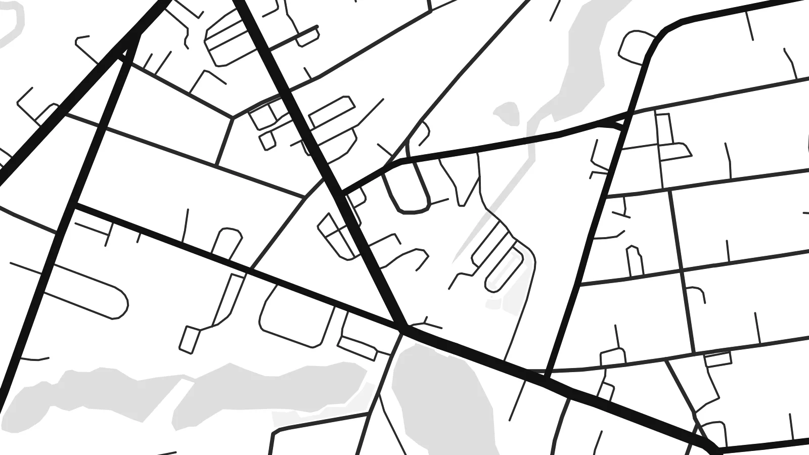
O se vaega atoa (100%) lenei mai le faila lolomi moni. O posita uma — pe lolomiina, faapipiiina pe download mai — e faia i luga o a matou server i le 300 DPI, e oo atu i le 7,200 × 10,800 pika, ina ia manino pea auala laiti i luga o se lolomiga 24 × 36″.
I luga o le puipui


Le faʻafanua
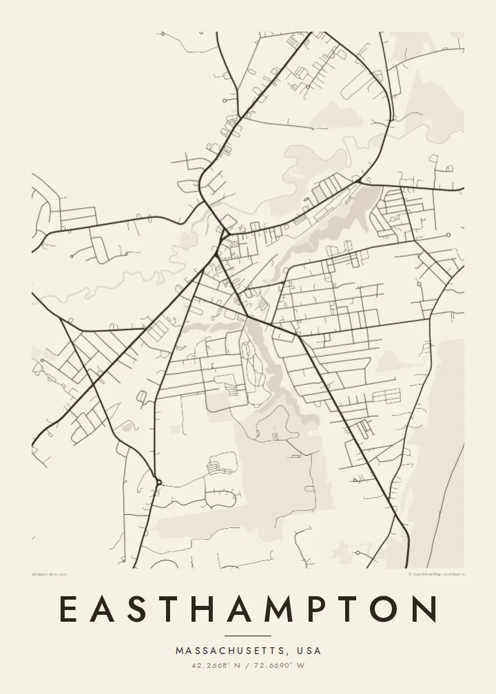
Easthampton lies in the Pioneer Valley of western Massachusetts, a short distance west of the Connecticut River. From above, the town reads as a working landscape. The Manhan River and its dammed ponds run through the centre, and the long footprints of nineteenth-century mills gather around the water that once powered them. From this industrial core, residential streets spread out toward farmland and wooded slopes.
To the northeast the Mount Tom range rises sharply from the valley floor, and its contour lines crowd together at the edge of the frame. Nashawannuck Pond sits close to downtown as a pale, irregular shape among the blocks. The Manhan Rail Trail, laid on a former railway line, draws a steady line across the town and links it with its neighbours in the valley.
The town grew on button and elastic-fabric manufacturing, and many of the old mill buildings now house studios, apartments and small workshops. An Easthampton map poster makes that history visible without any caption. The ponds, the mill blocks, the river and the ridge all sit together in black and white, and each one helps explain why the town took the shape it did.
Dams along the Manhan River created a chain of mill ponds near the centre. On the map they appear as soft, uneven shapes that break up the street pattern.
The Mount Tom range rises steeply northeast of town. Its tightly packed terrain contrasts with the flatter valley streets and gives the composition a natural edge.
This former rail corridor is now a walking and cycling path. It runs as a long, calm line through the town, clearer and straighter than the older roads around it.
Fai mo oe
Faʻaopoopo se aso, se igoa po o sau lava upu, sui le sitaili, lapoʻa po o le itu.
O le preview e leai se totogi e maualalo le resolution ma iai se watermark. O lolomi ma faila HD e faia i le 300 DPI, e oo atu i le 7,200 × 10,800 px, e aunoa ma se watermark.
Aisea Easthampton
Easthampton is a town people often choose deliberately, for its studios, its schools or the valley itself. A map of it makes a quiet keepsake for a first home in a converted mill or a few years spent at the foot of Mount Tom.
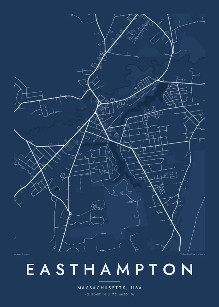
You can change the title and subtitle to a family name, a move-in date or a line of your own, and adjust the coordinates line to match. Pick one of five styles, Classic black & white, Noir, Paper, Blueprint or Sand, then download the $9 HD files or order a printed poster.
Faatau le posita Easthampton| Lapoʻa lolomi | Manino | Faila |
|---|---|---|
| 30 × 40 cm11.8 × 15.7″ | 3,543 × 4,724 px | PNG · PDF |
| 29.7 × 42 cm (A3)11.7 × 16.5″ | 3,508 × 4,961 px | PNG · PDF |
| 42 × 59.4 cm (A2)16.5 × 23.4″ | 4,961 × 7,016 px | PNG · PDF |
| 45.7 × 61 cm18 × 24″ | 5,400 × 7,200 px | PNG · PDF |
| 50 × 70 cm19.7 × 27.6″ | 5,906 × 8,268 px | PNG · PDF |
| 61 × 91.4 cm24 × 36″ | 7,200 × 10,800 px | PNG · PDF |
Ae faʻatusatusa, o le faʻataʻitaʻiga e leai se totogi e 900 px le lautele, e iai le faʻailoga vai ma e mo mata. O faila HD e oʻo atu i le 8× le manino i itu taʻitasi ma e lolomi manino i le lapoʻa atoa o le posta.
Filifili se sitaili i le pito i luga o le itulau, ona filifili lea o le Posita Lolomi — se lapopoa ma, afai e te fiafia, se faavaa — po o Faila HD Numera. E na o le tasi laasaga o le Checkout, ma o le a fesuia'i lou itulau o oka i le taimi lava e mae'a ai le totogi.
E lolomiina i luga o pepa matte maualuga le tulaga e 200 gsm, i se tasi o lapopoa e ono, mai le 30 × 40 cm i le 24 × 36″. E amata le tau o posita lolomi mai le $39, aofia ai le auina atu.
Ioe. Filifili se faavaa laau malosi i le lanu uliuli, sina, oak masani, po o le laau pogisa. E aofia ai se tioata e le gau ma ua saunia e tautau i luga. E amata le tau o posita faavaa mai le $99, aofia ai le auina atu.
E leai se totogi o le auina atu i atunuu e 60+. O pepa ata taʻitasi e lolomiina e le tasi o matou paaga lolomi e latalata mai i atunuu e 30+, ma e masani ona taunuu i le 3–7 aso faigaluega. E mafai ona e mulimulitaia le tulaga ma le sailiga i lalo o My Orders. O nisi atunuu e 2–5 vaiaso, ma i nofoaga e lei matou auina atu iai, e taʻu atu e le saite ia te oe a o lei totogi.
Auina mai se ata i totonu o le 14 aso talu ona taunuu, ma o le a matou toe lolomiina e leai se totogi po o le toe faafoi atu lau tupe.
Ioe. I totonu o le editor i lenei itulau, suia le ulutala, le ulutala laititi ma le laina o coordinates i soo se mea e te fiafia i ai, ma filifili se sitaili ma le lapopoa. O oka lolomi, faavaa ma numera e faaaoga uma lava lau mamanu.
Mo le $9 e te maua ai faila PNG 300 DPI ma PDF ua saunia mo le lolomi i lapopoa uma e ono, e aunoa ma se watermark, e mafai ona lolomi i soo se mea. Le mautinoa lava? Download muamua se preview e leai se totogi ma le watermark.
Latalata ane
