Ohio River bluffs
The city's northern edge drops toward the Ohio River, where the dense street pattern gives way to wooded slopes and the wide, gently curving water.
Posta faʻafanua faigofie · United States
39.0751° N / 84.4472° W
A hilltop suburb on the Kentucky bluffs above the Ohio River, with wooded ravines between its winding streets.


Tasi le aai, lagona e lima
Tapi se sitaili e vaai ai i luga o le puipui. E tutusa uma le tau o sitaili — pe lolomiina, faapipiiina, pe avea ma faila HD.
 Pika Moni · Faila Lolomi 24 × 36″
Manino mo le lolomi
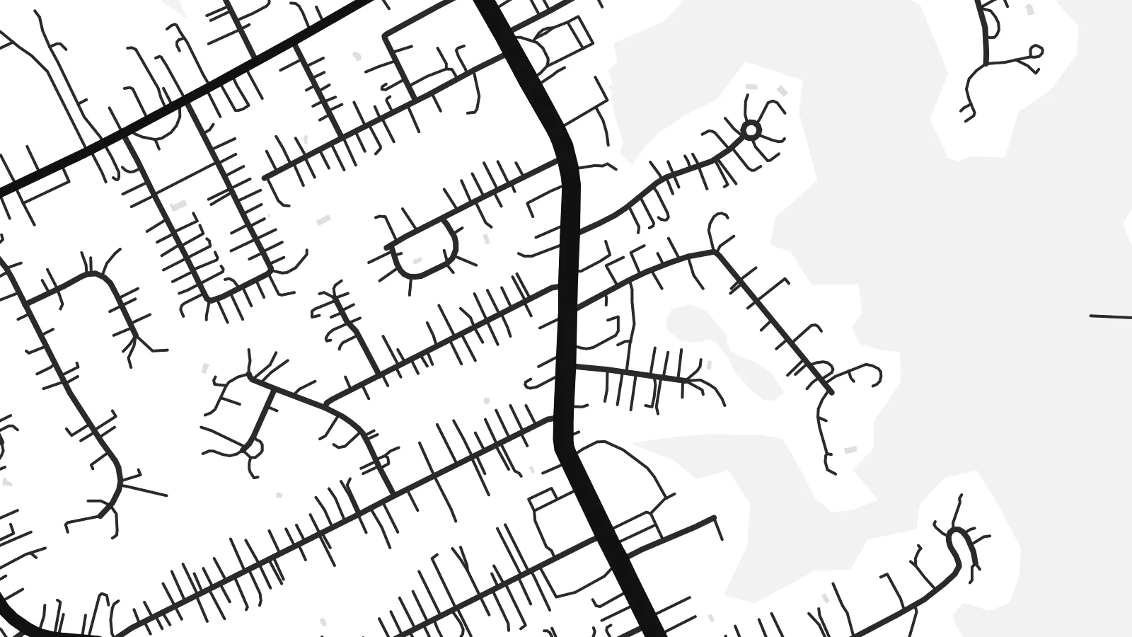
O se vaega atoa (100%) lenei mai le faila lolomi moni. O posita uma — pe lolomiina, faapipiiina pe download mai — e faia i luga o a matou server i le 300 DPI, e oo atu i le 7,200 × 10,800 pika, ina ia manino pea auala laiti i luga o se lolomiga 24 × 36″.
I luga o le puipui


Le faʻafanua
Fort Thomas is a city in Campbell County, Kentucky, on high ground above the south bank of the Ohio River, across from the east side of Cincinnati. The terrain shapes its street pattern. Main roads run along the ridges, while residential streets curve with the contours and stop at the edges of steep, wooded ravines that run down toward the river.
The city takes its name from a US Army post established here in the late nineteenth century and named after the Civil War general George H. Thomas. Part of the former post is now a public park, and a stone water tower from the military era still stands as a local landmark. The city later grew into a largely residential community.
Near the river the land drops sharply, and the map shows fewer streets there, with the broad line of the Ohio and the Cincinnati riverbank beyond. A Fort Thomas map poster pairs the tidy suburban streets on the ridge with that open water, so the composition keeps a strong sense of height even in flat black and white.
The city's northern edge drops toward the Ohio River, where the dense street pattern gives way to wooded slopes and the wide, gently curving water.
The grounds of the old military post, now largely parkland, show as open space among the residential streets, a reminder of how the city got its name.
Main roads follow the high ground, and side streets curve with the hills, producing a layout of long lines and soft bends rather than a strict grid.
Fai mo oe
Faʻaopoopo se aso, se igoa po o sau lava upu, sui le sitaili, lapoʻa po o le itu.
O le preview e leai se totogi e maualalo le resolution ma iai se watermark. O lolomi ma faila HD e faia i le 300 DPI, e oo atu i le 7,200 × 10,800 px, e aunoa ma se watermark.
Aisea Fort Thomas
Fort Thomas residents tend to be attached to their neighbourhoods, their schools and their views of the river. A map of the city is a thoughtful way to mark where you live or grew up, clean enough for a modern interior yet rooted in one specific place.
Personalise the title, subtitle and coordinates line with a name or a date, and choose one of five styles: Classic black & white, Noir, Paper, Blueprint or Sand. The digital version costs $9 for six sizes with no watermark, and a printed matte poster can arrive framed.
Faatau le posita Fort Thomas| Lapoʻa lolomi | Manino | Faila |
|---|---|---|
| 30 × 40 cm11.8 × 15.7″ | 3,543 × 4,724 px | PNG · PDF |
| 29.7 × 42 cm (A3)11.7 × 16.5″ | 3,508 × 4,961 px | PNG · PDF |
| 42 × 59.4 cm (A2)16.5 × 23.4″ | 4,961 × 7,016 px | PNG · PDF |
| 45.7 × 61 cm18 × 24″ | 5,400 × 7,200 px | PNG · PDF |
| 50 × 70 cm19.7 × 27.6″ | 5,906 × 8,268 px | PNG · PDF |
| 61 × 91.4 cm24 × 36″ | 7,200 × 10,800 px | PNG · PDF |
Ae faʻatusatusa, o le faʻataʻitaʻiga e leai se totogi e 900 px le lautele, e iai le faʻailoga vai ma e mo mata. O faila HD e oʻo atu i le 8× le manino i itu taʻitasi ma e lolomi manino i le lapoʻa atoa o le posta.
Filifili se sitaili i le pito i luga o le itulau, ona filifili lea o le Posita Lolomi — se lapopoa ma, afai e te fiafia, se faavaa — po o Faila HD Numera. E na o le tasi laasaga o le Checkout, ma o le a fesuia'i lou itulau o oka i le taimi lava e mae'a ai le totogi.
E lolomiina i luga o pepa matte maualuga le tulaga e 200 gsm, i se tasi o lapopoa e ono, mai le 30 × 40 cm i le 24 × 36″. E amata le tau o posita lolomi mai le $39, aofia ai le auina atu.
Ioe. Filifili se faavaa laau malosi i le lanu uliuli, sina, oak masani, po o le laau pogisa. E aofia ai se tioata e le gau ma ua saunia e tautau i luga. E amata le tau o posita faavaa mai le $99, aofia ai le auina atu.
E leai se totogi o le auina atu i atunuu e 60+. O pepa ata taʻitasi e lolomiina e le tasi o matou paaga lolomi e latalata mai i atunuu e 30+, ma e masani ona taunuu i le 3–7 aso faigaluega. E mafai ona e mulimulitaia le tulaga ma le sailiga i lalo o My Orders. O nisi atunuu e 2–5 vaiaso, ma i nofoaga e lei matou auina atu iai, e taʻu atu e le saite ia te oe a o lei totogi.
Auina mai se ata i totonu o le 14 aso talu ona taunuu, ma o le a matou toe lolomiina e leai se totogi po o le toe faafoi atu lau tupe.
Ioe. I totonu o le editor i lenei itulau, suia le ulutala, le ulutala laititi ma le laina o coordinates i soo se mea e te fiafia i ai, ma filifili se sitaili ma le lapopoa. O oka lolomi, faavaa ma numera e faaaoga uma lava lau mamanu.
Mo le $9 e te maua ai faila PNG 300 DPI ma PDF ua saunia mo le lolomi i lapopoa uma e ono, e aunoa ma se watermark, e mafai ona lolomi i soo se mea. Le mautinoa lava? Download muamua se preview e leai se totogi ma le watermark.
