Hableh Rud oasis
River water from the Alborz spreads into a band of fields and orchards around the town. It is drawn as a dense web of plots and channels against the empty land beyond.
Posta faʻafanua faigofie · Iran
35.2182° N / 52.3409° E
A desert-edge town watered by the Hableh Rud, where irrigated fields and long rail lines meet the open plain.


Tasi le aai, lagona e lima
Tapi se sitaili e vaai ai i luga o le puipui. E tutusa uma le tau o sitaili — pe lolomiina, faapipiiina, pe avea ma faila HD.
 Pika Moni · Faila Lolomi 24 × 36″
Manino mo le lolomi
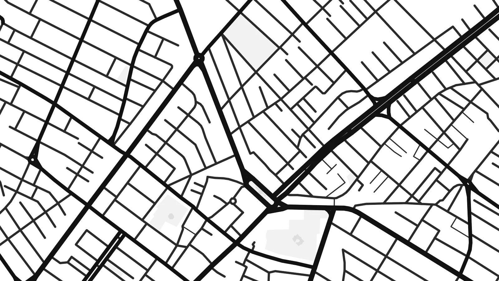
O se vaega atoa (100%) lenei mai le faila lolomi moni. O posita uma — pe lolomiina, faapipiiina pe download mai — e faia i luga o a matou server i le 300 DPI, e oo atu i le 7,200 × 10,800 pika, ina ia manino pea auala laiti i luga o se lolomiga 24 × 36″.
I luga o le puipui


Le faʻafanua
Garmsār lies southeast of Tehran, where the foothills of the Alborz give way to dry plains running toward the Dasht-e Kavir. The name means roughly a warm place, and the setting explains it. The Hableh Rud comes down from the mountains here, and its water feeds a green patch of fields and orchards around the town in an otherwise arid landscape.
On a map, Garmsār is a compact grid of streets surrounded by a fine pattern of irrigated plots and channels, fading into bare ground at the edges. The railway is a strong feature. The main line east from Tehran toward Semnan and Mashhad passes through the town, drawing long, straight tracks across the plain.
A Garmsār map poster captures that meeting of water and dryness: the tidy blocks of the town, the soft texture of the farmland around it, and the long lines of road and rail heading out across the plain. It is an understated map with a strong sense of place and a lot of calm space.
River water from the Alborz spreads into a band of fields and orchards around the town. It is drawn as a dense web of plots and channels against the empty land beyond.
The line from Tehran toward Semnan and Mashhad crosses the map in one long, steady stroke. It is among the clearest features of the composition.
To the south, the fields give way to dry plains on the fringe of the Dasht-e Kavir, which leaves calm open space along the edge of the frame.
Fai mo oe
Faʻaopoopo se aso, se igoa po o sau lava upu, sui le sitaili, lapoʻa po o le itu.
O le preview e leai se totogi e maualalo le resolution ma iai se watermark. O lolomi ma faila HD e faia i le 300 DPI, e oo atu i le 7,200 × 10,800 px, e aunoa ma se watermark.
Aisea Garmsār
For people from Semnan province, and for anyone who has travelled the long road and rail route east from Tehran, the shape of Garmsār is familiar: a green patch and a small grid in a wide, bright landscape. The map records it with the same quiet economy.
Use the town name as the title or replace it with your own words, add a date to the subtitle, and edit the coordinates. The five styles include Sand, which suits the desert setting, along with Classic black & white, Noir, Paper and Blueprint.
Faatau le posita Garmsār| Lapoʻa lolomi | Manino | Faila |
|---|---|---|
| 30 × 40 cm (11.8 × 15.7″) | 3,543 × 4,724 px | PNG · PDF |
| 29.7 × 42 cm (A3, 11.7 × 16.5″) | 3,508 × 4,961 px | PNG · PDF |
| 42 × 59.4 cm (A2, 16.5 × 23.4″) | 4,961 × 7,016 px | PNG · PDF |
| 45.7 × 61 cm (18 × 24″) | 5,400 × 7,200 px | PNG · PDF |
| 50 × 70 cm (19.7 × 27.6″) | 5,906 × 8,268 px | PNG · PDF |
| 61 × 91.4 cm (24 × 36″) | 7,200 × 10,800 px | PNG · PDF |
Ae faʻatusatusa, o le faʻataʻitaʻiga e leai se totogi e 900 px le lautele, e iai le faʻailoga vai ma e mo mata. O faila HD e oʻo atu i le 8× le manino i itu taʻitasi ma e lolomi manino i le lapoʻa atoa o le posta.
Filifili se sitaili i le pito i luga o le itulau, ona filifili lea o le Posita Lolomi — se lapopoa ma, afai e te fiafia, se faavaa — po o Faila HD Numera. E na o le tasi laasaga o le Checkout, ma o le a fesuia'i lou itulau o oka i le taimi lava e mae'a ai le totogi.
E lolomiina i luga o pepa matte maualuga le tulaga e 200 gsm, i se tasi o lapopoa e ono, mai le 30 × 40 cm i le 24 × 36″. E amata le tau o posita lolomi mai le $39, aofia ai le auina atu.
Ioe. Filifili se faavaa laau malosi i le lanu uliuli, sina, oak masani, po o le laau pogisa. E aofia ai se tioata e le gau ma ua saunia e tautau i luga. E amata le tau o posita faavaa mai le $99, aofia ai le auina atu.
E leai se totogi mo le uta i le lalolagi atoa. O poster ta'itasi e lolomi e le paaga lolomi e latalata mai i matou i atunuu e 30+, ma e masani ona taunuu i aso faigaluega e 3–7. E mafai ona e mulimuli i le tulaga ma le tracking i le "Aʻu Oka". O nisi atunuu e 2–5 vaiaso, ma i atunuu matou te lei tuuina atu ai, e taʻu atu e le saite iā te oe ae e te leʻi totogiina.
Auina mai se ata i totonu o le 14 aso talu ona taunuu, ma o le a matou toe lolomiina e leai se totogi po o le toe faafoi atu lau tupe.
Ioe. I totonu o le editor i lenei itulau, suia le ulutala, le ulutala laititi ma le laina o coordinates i soo se mea e te fiafia i ai, ma filifili se sitaili ma le lapopoa. O oka lolomi, faavaa ma numera e faaaoga uma lava lau mamanu.
Mo le $9 e te maua ai faila PNG 300 DPI ma PDF ua saunia mo le lolomi i lapopoa uma e ono, e aunoa ma se watermark, e mafai ona lolomi i soo se mea. Le mautinoa lava? Download muamua se preview e leai se totogi ma le watermark.
Latalata ane
