Durme river bend
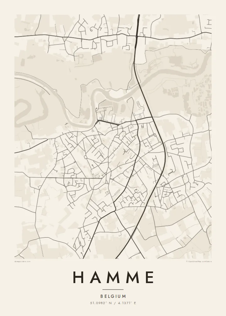
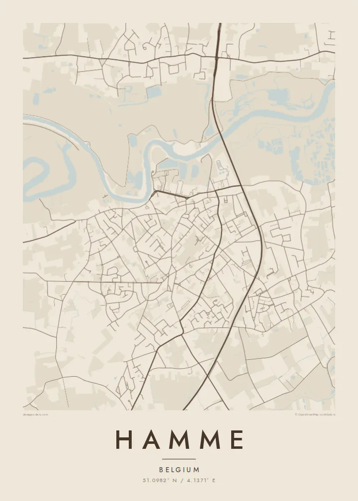
The tidal Durme loops past the town, its meanders drawn as wide curves that anchor the whole composition and set the northern edge of the centre.
Posta faʻafanua faigofie · Belgium
51.0982° N / 4.1371° E
A Flemish town tucked into a bend of the tidal Durme, with river meadows, dikes and polders framing its compact streets.



Tasi le aai, lagona e lima
Tapi se sitaili e vaai ai i luga o le puipui. E tutusa uma le tau o sitaili — pe lolomiina, faapipiiina, pe avea ma faila HD.
 Pika Moni · Faila Lolomi 24 × 36″
Manino mo le lolomi
O se vaega atoa (100%) lenei mai le faila lolomi moni. O posita uma — pe lolomiina, faapipiiina pe download mai — e faia i luga o a matou server i le 300 DPI, e oo atu i le 7,200 × 10,800 pika, ina ia manino pea auala laiti i luga o se lolomiga 24 × 36″.
I luga o le puipui


Le faʻafanua
Hamme lies in East Flanders, on the lower Durme, a tidal river that joins the Scheldt close by. The map is defined by water: the curving Durme to one side, the broader Scheldt along the edge of the municipality, and the flat marshland and meadows between them. The town centre sits on slightly higher ground, its streets converging on a traditional Flemish market square.
Around the centre, residential streets spread in a loose pattern typical of Flanders, with ribbon development along older roads and farmland still visible in between. Toward the river the built-up area stops abruptly at dikes and wetlands, and small villages such as Moerzeke belong to the municipality on the Scheldt side.
A Hamme map poster turns this landscape into a strong graphic contrast. The rivers appear as bold, sweeping curves, the marshes as open space, and the town as a dense, well-defined cluster. It is a map where the tide, rather than any grid, decides the shape of the place.
The tidal Durme loops past the town, its meanders drawn as wide curves that anchor the whole composition and set the northern edge of the centre.
Low meadows, dikes and wetlands line the Scheldt and Durme, leaving large quiet spaces on the map between the river and the houses.
Beyond the centre, houses follow old roads in long lines, a typical Flemish pattern that connects Hamme to its surrounding villages and hamlets.
Fai mo oe
Faʻaopoopo se aso, se igoa po o sau lava upu, sui le sitaili, lapoʻa po o le itu.
O le preview e leai se totogi e maualalo le resolution ma iai se watermark. O lolomi ma faila HD e faia i le 300 DPI, e oo atu i le 7,200 × 10,800 px, e aunoa ma se watermark.
Aisea Hamme
People who walked the Durme dikes, grew up near the market square or cycled through the polders will recognise this map immediately. It is a fitting gift for anyone with roots in the Waasland, and its river curves make it an elegant wall piece.
Personalise the title, subtitle and coordinates, perhaps with a family name or a moving date, and choose one of five styles. Blueprint shows the water especially clearly. Files come as 300 DPI PNG and print-ready PDF in six sizes.
Faatau le posita Hamme| Lapoʻa lolomi | Manino | Faila |
|---|---|---|
| 30 × 40 cm (11.8 × 15.7″) | 3,543 × 4,724 px | PNG · PDF |
| 29.7 × 42 cm (A3, 11.7 × 16.5″) | 3,508 × 4,961 px | PNG · PDF |
| 42 × 59.4 cm (A2, 16.5 × 23.4″) | 4,961 × 7,016 px | PNG · PDF |
| 45.7 × 61 cm (18 × 24″) | 5,400 × 7,200 px | PNG · PDF |
| 50 × 70 cm (19.7 × 27.6″) | 5,906 × 8,268 px | PNG · PDF |
| 61 × 91.4 cm (24 × 36″) | 7,200 × 10,800 px | PNG · PDF |
Ae faʻatusatusa, o le faʻataʻitaʻiga e leai se totogi e 900 px le lautele, e iai le faʻailoga vai ma e mo mata. O faila HD e oʻo atu i le 8× le manino i itu taʻitasi ma e lolomi manino i le lapoʻa atoa o le posta.
Filifili se sitaili i le pito i luga o le itulau, ona filifili lea o le Posita Lolomi — se lapopoa ma, afai e te fiafia, se faavaa — po o Faila HD Numera. E na o le tasi laasaga o le Checkout, ma o le a fesuia'i lou itulau o oka i le taimi lava e mae'a ai le totogi.
E lolomiina i luga o pepa matte maualuga le tulaga e 200 gsm, i se tasi o lapopoa e ono, mai le 30 × 40 cm i le 24 × 36″. E amata le tau o posita lolomi mai le $39, aofia ai le auina atu.
Ioe. Filifili se faavaa laau malosi i le lanu uliuli, sina, oak masani, po o le laau pogisa. E aofia ai se tioata e le gau ma ua saunia e tautau i luga. E amata le tau o posita faavaa mai le $99, aofia ai le auina atu.
E leai se totogi mo le uta i le lalolagi atoa. O poster ta'itasi e lolomi e le paaga lolomi e latalata mai i matou i atunuu e 30+, ma e masani ona taunuu i aso faigaluega e 3–7. E mafai ona e mulimuli i le tulaga ma le tracking i le "Aʻu Oka". O nisi atunuu e 2–5 vaiaso, ma i atunuu matou te lei tuuina atu ai, e taʻu atu e le saite iā te oe ae e te leʻi totogiina.
Auina mai se ata i totonu o le 14 aso talu ona taunuu, ma o le a matou toe lolomiina e leai se totogi po o le toe faafoi atu lau tupe.
Ioe. I totonu o le editor i lenei itulau, suia le ulutala, le ulutala laititi ma le laina o coordinates i soo se mea e te fiafia i ai, ma filifili se sitaili ma le lapopoa. O oka lolomi, faavaa ma numera e faaaoga uma lava lau mamanu.
Mo le $9 e te maua ai faila PNG 300 DPI ma PDF ua saunia mo le lolomi i lapopoa uma e ono, e aunoa ma se watermark, e mafai ona lolomi i soo se mea. Le mautinoa lava? Download muamua se preview e leai se totogi ma le watermark.
Latalata ane
