Point Cruz
A small point projecting into the sea near the town centre and home to the port. It gives the otherwise straight coastline a single, distinctive notch.
Posta faʻafanua faigofie · Solomon Islands
9.4333° S / 159.9500° E
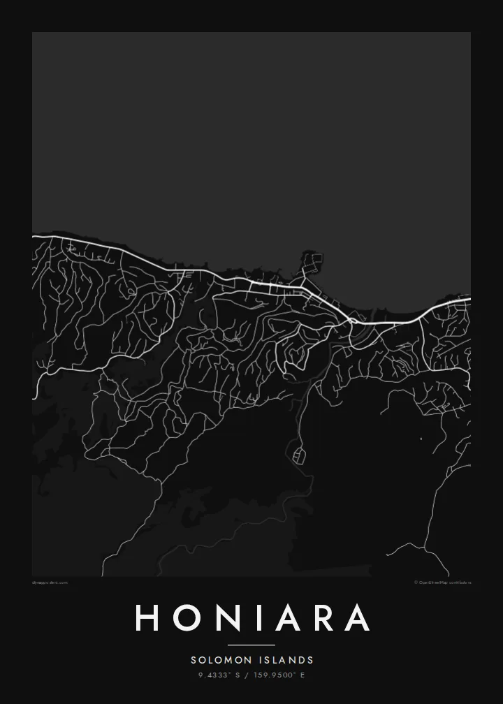
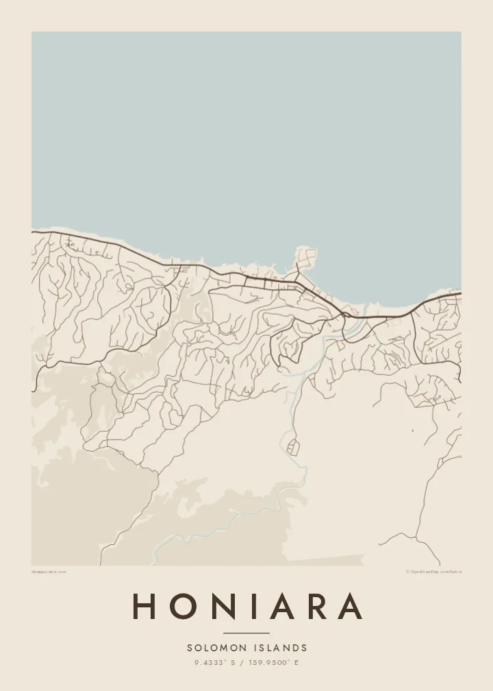
A long, thin town stretched along a northern shore, with a river mouth, a small point and steep ridges behind.



Tasi le aai, lagona e lima
Tapi se sitaili e vaai ai i luga o le puipui. E tutusa uma le tau o sitaili — pe lolomiina, faapipiiina, pe avea ma faila HD.
 Pika Moni · Faila Lolomi 24 × 36″
Manino mo le lolomi
O se vaega atoa (100%) lenei mai le faila lolomi moni. O posita uma — pe lolomiina, faapipiiina pe download mai — e faia i luga o a matou server i le 300 DPI, e oo atu i le 7,200 × 10,800 pika, ina ia manino pea auala laiti i luga o se lolomiga 24 × 36″.
I luga o le puipui


Le faʻafanua
Honiara lies on the northern coast of Guadalcanal in the Solomon Islands, facing the stretch of water known as Iron Bottom Sound. Its map is strongly linear. The town follows the shoreline for several kilometres, with the main coastal road acting as a spine and neighbourhoods reaching up into the valleys and onto the ridges that rise quickly behind the coast.
Near the centre, the small projection of Point Cruz marks the port area, while the Mataniko River cuts through the town from the hills to the sea, dividing the map into clear sections. Inland, residential roads twist along ridgelines and around gullies. They give the southern edge of the drawing a branching, tree-like pattern that contrasts with the straight coastal strip.
Honiara grew from the base Allied forces built during the Guadalcanal campaign of the Second World War, and it replaced Tulagi as the capital after the war. The sound in front of it takes its name from the many ships sunk there in 1942 and 1943. A Honiara map poster shows a town defined by one long coastline and the hills that press against it.
A small point projecting into the sea near the town centre and home to the port. It gives the otherwise straight coastline a single, distinctive notch.
The river flows down from the hills and through the town to the coast. It is drawn as a winding line that splits Honiara into eastern and western halves.
Behind the coast, roads climb and branch along steep ridges and valleys, creating finger-like shapes that spread into the hills above the town.
Fai mo oe
Faʻaopoopo se aso, se igoa po o sau lava upu, sui le sitaili, lapoʻa po o le itu.
O le preview e leai se totogi e maualalo le resolution ma iai se watermark. O lolomi ma faila HD e faia i le 300 DPI, e oo atu i le 7,200 × 10,800 px, e aunoa ma se watermark.
Aisea Honiara
Honiara is home to Solomon Islanders from many provinces and a temporary base for volunteers, aid workers and people tracing wartime history. A map of the town brings together sea, river and ridges in a composition that feels both specific and understated.
Give it a personal title and a subtitle with a date, a name or a province, and adjust the coordinates if you wish. Choose one of five styles, then download the HD files in six sizes or order a framed print.
Faatau le posita Honiara| Lapoʻa lolomi | Manino | Faila |
|---|---|---|
| 30 × 40 cm11.8 × 15.7″ | 3,543 × 4,724 px | PNG · PDF |
| 29.7 × 42 cm (A3)11.7 × 16.5″ | 3,508 × 4,961 px | PNG · PDF |
| 42 × 59.4 cm (A2)16.5 × 23.4″ | 4,961 × 7,016 px | PNG · PDF |
| 45.7 × 61 cm18 × 24″ | 5,400 × 7,200 px | PNG · PDF |
| 50 × 70 cm19.7 × 27.6″ | 5,906 × 8,268 px | PNG · PDF |
| 61 × 91.4 cm24 × 36″ | 7,200 × 10,800 px | PNG · PDF |
Ae faʻatusatusa, o le faʻataʻitaʻiga e leai se totogi e 900 px le lautele, e iai le faʻailoga vai ma e mo mata. O faila HD e oʻo atu i le 8× le manino i itu taʻitasi ma e lolomi manino i le lapoʻa atoa o le posta.
Filifili se sitaili i le pito i luga o le itulau, ona filifili lea o le Posita Lolomi — se lapopoa ma, afai e te fiafia, se faavaa — po o Faila HD Numera. E na o le tasi laasaga o le Checkout, ma o le a fesuia'i lou itulau o oka i le taimi lava e mae'a ai le totogi.
E lolomiina i luga o pepa matte maualuga le tulaga e 200 gsm, i se tasi o lapopoa e ono, mai le 30 × 40 cm i le 24 × 36″. E amata le tau o posita lolomi mai le $39, aofia ai le auina atu.
Ioe. Filifili se faavaa laau malosi i le lanu uliuli, sina, oak masani, po o le laau pogisa. E aofia ai se tioata e le gau ma ua saunia e tautau i luga. E amata le tau o posita faavaa mai le $99, aofia ai le auina atu.
E leai se totogi o le auina atu i atunuu e 60+. O pepa ata taʻitasi e lolomiina e le tasi o matou paaga lolomi e latalata mai i atunuu e 30+, ma e masani ona taunuu i le 3–7 aso faigaluega. E mafai ona e mulimulitaia le tulaga ma le sailiga i lalo o My Orders. O nisi atunuu e 2–5 vaiaso, ma i nofoaga e lei matou auina atu iai, e taʻu atu e le saite ia te oe a o lei totogi.
Auina mai se ata i totonu o le 14 aso talu ona taunuu, ma o le a matou toe lolomiina e leai se totogi po o le toe faafoi atu lau tupe.
Ioe. I totonu o le editor i lenei itulau, suia le ulutala, le ulutala laititi ma le laina o coordinates i soo se mea e te fiafia i ai, ma filifili se sitaili ma le lapopoa. O oka lolomi, faavaa ma numera e faaaoga uma lava lau mamanu.
Mo le $9 e te maua ai faila PNG 300 DPI ma PDF ua saunia mo le lolomi i lapopoa uma e ono, e aunoa ma se watermark, e mafai ona lolomi i soo se mea. Le mautinoa lava? Download muamua se preview e leai se totogi ma le watermark.
Latalata ane
