Road network
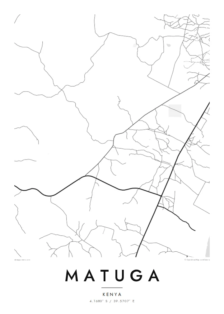
The map is defined by roads linking villages to one another and to routes running toward the coast, a branching pattern that shows how people and goods move across the county.
Posta faʻafanua faigofie · Kenya
4.1680° S / 39.5707° E
Scattered villages and unpaved roads spread across the gentle coastal hinterland south-west of Mombasa, near the Shimba Hills.



Tasi le aai, lagona e lima
Tapi se sitaili e vaai ai i luga o le puipui. E tutusa uma le tau o sitaili — pe lolomiina, faapipiiina, pe avea ma faila HD.
 Pika Moni · Faila Lolomi 24 × 36″
Manino mo le lolomi
O se vaega atoa (100%) lenei mai le faila lolomi moni. O posita uma — pe lolomiina, faapipiiina pe download mai — e faia i luga o a matou server i le 300 DPI, e oo atu i le 7,200 × 10,800 pika, ina ia manino pea auala laiti i luga o se lolomiga 24 × 36″.
I luga o le puipui


Le faʻafanua
Matuga lies in Kwale County on Kenya's south coast, in the rolling country between the Indian Ocean shoreline and the Shimba Hills. Rather than a compact town, it is a wide area of villages, farms and market centres, so from above the map shows a loose network of roads and footpaths instead of a single dense core. Settlements cluster along the main routes and thin out into cultivated land.
The population figure counts the whole area rather than one urban centre, which is typical of this part of the coast. The county town of Kwale is close by, and the slopes of Shimba Hills National Reserve rise to the south-west, where grassland and patches of coastal forest are protected from the farmland that surrounds them.
A Matuga map poster captures a landscape that is more about connection than density: roads threading between homesteads, streams cutting shallow valleys toward the coast, and the occasional crossroads where a market gathers. In black and white the pattern becomes delicate and open, closer to a drawing than a city plan.
The map is defined by roads linking villages to one another and to routes running toward the coast, a branching pattern that shows how people and goods move across the county.
To the south-west the land rises toward the Shimba Hills, a protected upland of forest and grassland. On the poster, the reserve appears as a quiet, road-free area beside the settled farmland.
Small watercourses drain the hinterland toward the Indian Ocean, carving shallow valleys between farms. Traced in fine lines, they add a gentle rhythm to an otherwise open, rural composition.
Fai mo oe
Faʻaopoopo se aso, se igoa po o sau lava upu, sui le sitaili, lapoʻa po o le itu.
O le preview e leai se totogi e maualalo le resolution ma iai se watermark. O lolomi ma faila HD e faia i le 300 DPI, e oo atu i le 7,200 × 10,800 px, e aunoa ma se watermark.
Aisea Matuga
For people from Kwale County, or anyone with family roots in the south coast villages, a map of Matuga is a way to keep the home area in view. Its open, rural layout makes a calm, uncluttered print that works well in a bedroom or office.
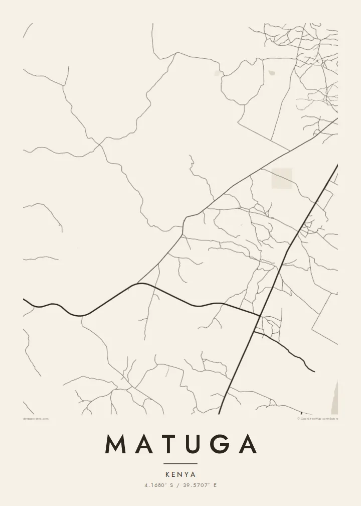
Add a title, subtitle or a coordinates line that points to a specific village or a family home, and select from five styles: Classic black & white, Noir, Paper, Blueprint or Sand. Sand gives the landscape a warm tone, while Noir turns the roads into fine light lines.
Faatau le posita Matuga| Lapoʻa lolomi | Manino | Faila |
|---|---|---|
| 30 × 40 cm (11.8 × 15.7″) | 3,543 × 4,724 px | PNG · PDF |
| 29.7 × 42 cm (A3, 11.7 × 16.5″) | 3,508 × 4,961 px | PNG · PDF |
| 42 × 59.4 cm (A2, 16.5 × 23.4″) | 4,961 × 7,016 px | PNG · PDF |
| 45.7 × 61 cm (18 × 24″) | 5,400 × 7,200 px | PNG · PDF |
| 50 × 70 cm (19.7 × 27.6″) | 5,906 × 8,268 px | PNG · PDF |
| 61 × 91.4 cm (24 × 36″) | 7,200 × 10,800 px | PNG · PDF |
Ae faʻatusatusa, o le faʻataʻitaʻiga e leai se totogi e 900 px le lautele, e iai le faʻailoga vai ma e mo mata. O faila HD e oʻo atu i le 8× le manino i itu taʻitasi ma e lolomi manino i le lapoʻa atoa o le posta.
Filifili se sitaili i le pito i luga o le itulau, ona filifili lea o le Posita Lolomi — se lapopoa ma, afai e te fiafia, se faavaa — po o Faila HD Numera. E na o le tasi laasaga o le Checkout, ma o le a fesuia'i lou itulau o oka i le taimi lava e mae'a ai le totogi.
E lolomiina i luga o pepa matte maualuga le tulaga e 200 gsm, i se tasi o lapopoa e ono, mai le 30 × 40 cm i le 24 × 36″. E amata le tau o posita lolomi mai le $39, aofia ai le auina atu.
Ioe. Filifili se faavaa laau malosi i le lanu uliuli, sina, oak masani, po o le laau pogisa. E aofia ai se tioata e le gau ma ua saunia e tautau i luga. E amata le tau o posita faavaa mai le $99, aofia ai le auina atu.
E leai se totogi mo le uta i le lalolagi atoa. O poster ta'itasi e lolomi e le paaga lolomi e latalata mai i matou i atunuu e 30+, ma e masani ona taunuu i aso faigaluega e 3–7. E mafai ona e mulimuli i le tulaga ma le tracking i le "Aʻu Oka". O nisi atunuu e 2–5 vaiaso, ma i atunuu matou te lei tuuina atu ai, e taʻu atu e le saite iā te oe ae e te leʻi totogiina.
Auina mai se ata i totonu o le 14 aso talu ona taunuu, ma o le a matou toe lolomiina e leai se totogi po o le toe faafoi atu lau tupe.
Ioe. I totonu o le editor i lenei itulau, suia le ulutala, le ulutala laititi ma le laina o coordinates i soo se mea e te fiafia i ai, ma filifili se sitaili ma le lapopoa. O oka lolomi, faavaa ma numera e faaaoga uma lava lau mamanu.
Mo le $9 e te maua ai faila PNG 300 DPI ma PDF ua saunia mo le lolomi i lapopoa uma e ono, e aunoa ma se watermark, e mafai ona lolomi i soo se mea. Le mautinoa lava? Download muamua se preview e leai se totogi ma le watermark.
Latalata ane
