Colonial grid
The historic centre is organised in a regular grid of streets around the Zócalo, with churches and plazas placed at intervals across the blocks.
Posta faʻafanua faigofie · Mexico
17.0602° N / 96.7254° W
A colonial grid in a high mountain valley, set between the Cerro del Fortín and the Atoyac River


Tasi le aai, lagona e lima
Tapi se sitaili e vaai ai i luga o le puipui. E tutusa uma le tau o sitaili — pe lolomiina, faapipiiina, pe avea ma faila HD.
 Pika Moni · Faila Lolomi 24 × 36″
Manino mo le lolomi
O se vaega atoa (100%) lenei mai le faila lolomi moni. O posita uma — pe lolomiina, faapipiiina pe download mai — e faia i luga o a matou server i le 300 DPI, e oo atu i le 7,200 × 10,800 pika, ina ia manino pea auala laiti i luga o se lolomiga 24 × 36″.
I luga o le puipui

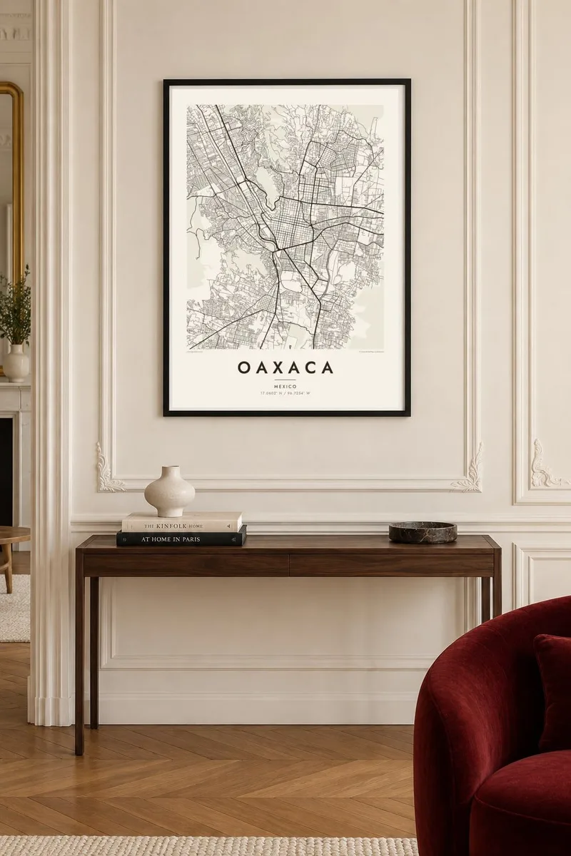
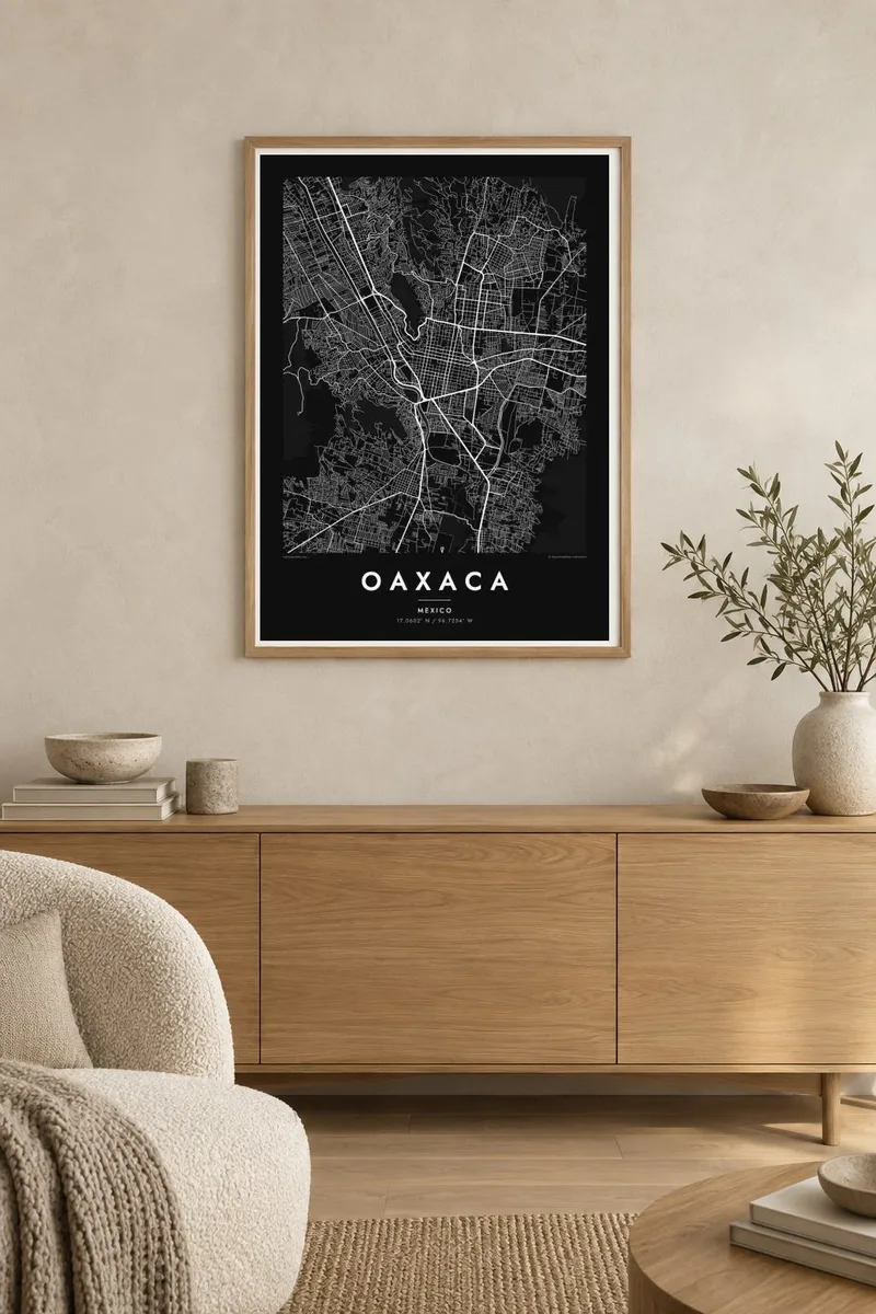
Le faʻafanua
Oaxaca de Juárez lies in a broad valley surrounded by the mountains of southern Mexico. Its historic centre is laid out in a clear colonial grid, with the Zócalo and the cathedral at the heart and the church of Santo Domingo a few blocks north. On the map, the regular streets of the old town contrast with the hills rising on the northwest side.
The historic centre and the nearby archaeological site of Monte Albán, on a flattened mountaintop overlooking the valley, are together a UNESCO World Heritage site. Above the city, the Cerro del Fortín holds the auditorium used for the Guelaguetza festival each July. The Atoyac River runs along the western and southern edges, marking the limit of the older city.
An Oaxaca map poster captures the balance between planned grid and natural terrain. In black and white, the square blocks of the centre read almost like a chessboard, while the hillsides, river and newer districts wrap around them in softer shapes. It is a fitting image for a city whose architecture, food and festivals have made it one of Mexico's best-loved destinations.
The historic centre is organised in a regular grid of streets around the Zócalo, with churches and plazas placed at intervals across the blocks.
The hill above the city holds the Guelaguetza auditorium and winding paths, giving the map a contoured edge to the northwest.
The river runs along the western and southern sides of the city, marking where the older grid gives way to newer districts.
Fai mo oe
Faʻaopoopo se aso, se igoa po o sau lava upu, sui le sitaili, lapoʻa po o le itu.
O le preview e leai se totogi e maualalo le resolution ma iai se watermark. O lolomi ma faila HD e faia i le 300 DPI, e oo atu i le 7,200 × 10,800 px, e aunoa ma se watermark.
Aisea Oaxaca
Oaxaca is a map for people who live there, travellers who fell for its markets and festivals, and couples who marked an important moment in the city. Its grid and hills make a balanced, readable poster.
You can personalise the title, subtitle and coordinates line, for example with a date or a street name. Choose one of five styles: Classic black & white, Noir, Paper, Blueprint or Sand.
Faatau le posita Oaxaca| Lapoʻa lolomi | Manino | Faila |
|---|---|---|
| 30 × 40 cm (11.8 × 15.7″) | 3,543 × 4,724 px | PNG · PDF |
| 29.7 × 42 cm (A3, 11.7 × 16.5″) | 3,508 × 4,961 px | PNG · PDF |
| 42 × 59.4 cm (A2, 16.5 × 23.4″) | 4,961 × 7,016 px | PNG · PDF |
| 45.7 × 61 cm (18 × 24″) | 5,400 × 7,200 px | PNG · PDF |
| 50 × 70 cm (19.7 × 27.6″) | 5,906 × 8,268 px | PNG · PDF |
| 61 × 91.4 cm (24 × 36″) | 7,200 × 10,800 px | PNG · PDF |
Ae faʻatusatusa, o le faʻataʻitaʻiga e leai se totogi e 900 px le lautele, e iai le faʻailoga vai ma e mo mata. O faila HD e oʻo atu i le 8× le manino i itu taʻitasi ma e lolomi manino i le lapoʻa atoa o le posta.
Filifili se sitaili i le pito i luga o le itulau, ona filifili lea o le Posita Lolomi — se lapopoa ma, afai e te fiafia, se faavaa — po o Faila HD Numera. E na o le tasi laasaga o le Checkout, ma o le a fesuia'i lou itulau o oka i le taimi lava e mae'a ai le totogi.
E lolomiina i luga o pepa matte maualuga le tulaga e 200 gsm, i se tasi o lapopoa e ono, mai le 30 × 40 cm i le 24 × 36″. E amata le tau o posita lolomi mai le $39, aofia ai le auina atu.
Ioe. Filifili se faavaa laau malosi i le lanu uliuli, sina, oak masani, po o le laau pogisa. E aofia ai se tioata e le gau ma ua saunia e tautau i luga. E amata le tau o posita faavaa mai le $99, aofia ai le auina atu.
E leai se totogi mo le uta i le lalolagi atoa. O poster ta'itasi e lolomi e le paaga lolomi e latalata mai i matou i atunuu e 30+, ma e masani ona taunuu i aso faigaluega e 3–7. E mafai ona e mulimuli i le tulaga ma le tracking i le "Aʻu Oka". O nisi atunuu e 2–5 vaiaso, ma i atunuu matou te lei tuuina atu ai, e taʻu atu e le saite iā te oe ae e te leʻi totogiina.
Auina mai se ata i totonu o le 14 aso talu ona taunuu, ma o le a matou toe lolomiina e leai se totogi po o le toe faafoi atu lau tupe.
Ioe. I totonu o le editor i lenei itulau, suia le ulutala, le ulutala laititi ma le laina o coordinates i soo se mea e te fiafia i ai, ma filifili se sitaili ma le lapopoa. O oka lolomi, faavaa ma numera e faaaoga uma lava lau mamanu.
Mo le $9 e te maua ai faila PNG 300 DPI ma PDF ua saunia mo le lolomi i lapopoa uma e ono, e aunoa ma se watermark, e mafai ona lolomi i soo se mea. Le mautinoa lava? Download muamua se preview e leai se totogi ma le watermark.
