Oze River border
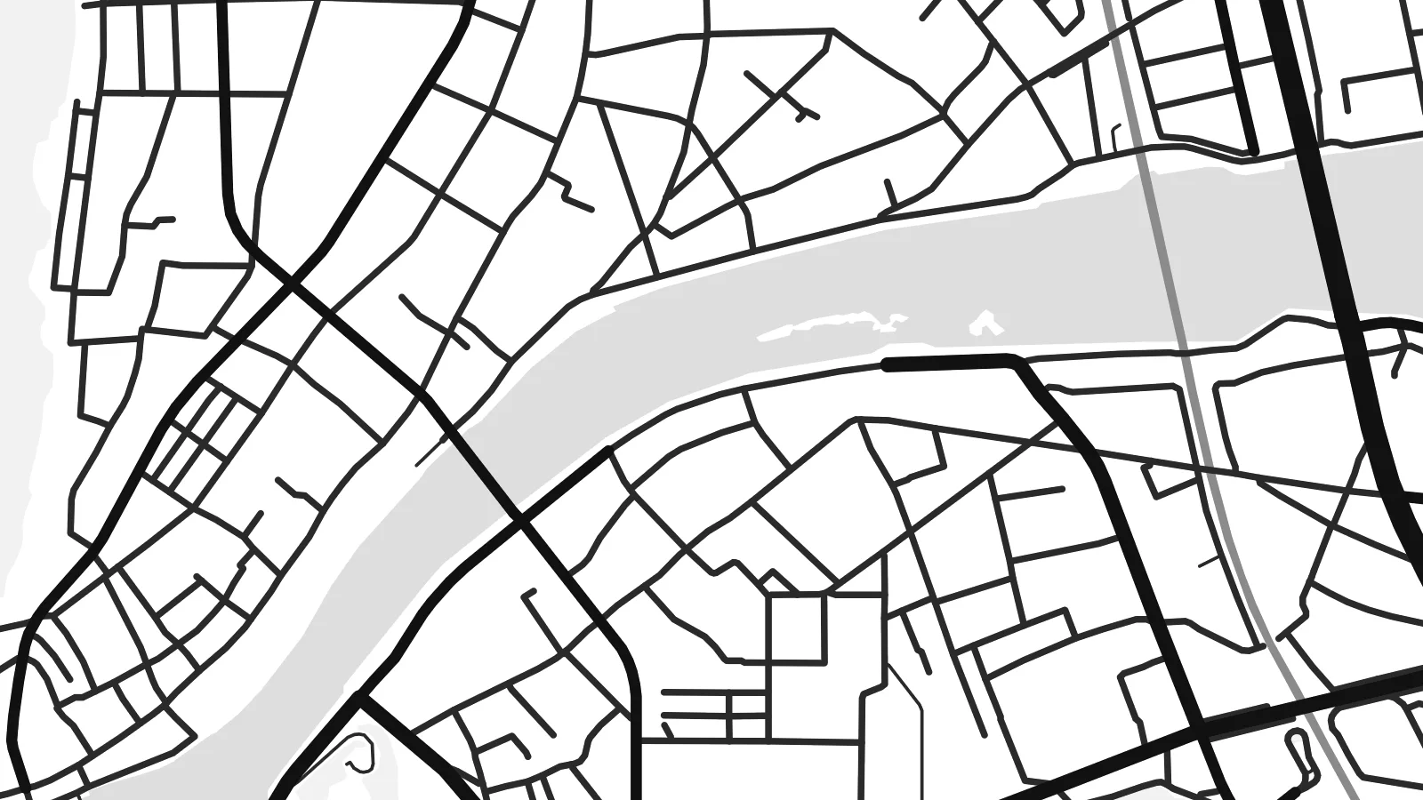
The river on the western edge divides Ōtake from Iwakuni. It forms both a natural and a prefectural boundary on the map.
Posta faʻafanua faigofie · Japan
34.2075° N / 132.2206° E
A narrow industrial city on the Seto Inland Sea, squeezed between wooded hills and a reclaimed waterfront.


Tasi le aai, lagona e lima
Tapi se sitaili e vaai ai i luga o le puipui. E tutusa uma le tau o sitaili — pe lolomiina, faapipiiina, pe avea ma faila HD.
 Pika Moni · Faila Lolomi 24 × 36″
Manino mo le lolomi
O se vaega atoa (100%) lenei mai le faila lolomi moni. O posita uma — pe lolomiina, faapipiiina pe download mai — e faia i luga o a matou server i le 300 DPI, e oo atu i le 7,200 × 10,800 pika, ina ia manino pea auala laiti i luga o se lolomiga 24 × 36″.
I luga o le puipui


Le faʻafanua
Ōtake is the westernmost city of Hiroshima Prefecture, on the coast of the Seto Inland Sea. On a map it forms a thin strip of settlement between steep forested hills and the sea. The Oze River marks its western edge and the border with Iwakuni in Yamaguchi Prefecture. Rail lines and the coastal road run close to the shore, with residential streets packed in behind them.
Much of the waterfront is reclaimed land occupied by a large petrochemical and industrial complex. Its long rectangular plots and straight quays give the coast a hard geometric edge. Inland, the hills rise quickly, and small valleys hold farms and hamlets. The contrast between the industrial shoreline and the green uplands is the defining feature of the city from above.
An Ōtake map poster is a study in contrasts: large industrial shapes along the water, a fine network of homes and small streets, and wooded slopes above. It suits people who work in the plants, families who have lived here for generations and anyone who knows this stretch of the Inland Sea coast between Hiroshima and Iwakuni.
The river on the western edge divides Ōtake from Iwakuni. It forms both a natural and a prefectural boundary on the map.
Straight quays and large industrial plots occupy land built out into the Inland Sea, forming a hard, geometric waterfront.
Behind the narrow coastal strip, steep hills and small valleys hold scattered farms and settlements in a much looser pattern.
Fai mo oe
Faʻaopoopo se aso, se igoa po o sau lava upu, sui le sitaili, lapoʻa po o le itu.
O le preview e leai se totogi e maualalo le resolution ma iai se watermark. O lolomi ma faila HD e faia i le 300 DPI, e oo atu i le 7,200 × 10,800 px, e aunoa ma se watermark.
Aisea Ōtake
The map suits people who know the town from work or family, and anyone drawn to the look of coastal industrial Japan. The strong shapes along the water make a bold graphic print, especially in darker styles.
Personalise the title, subtitle and coordinates line with a name, a date or a short dedication. Choose Classic black & white, Noir, Paper, Blueprint or Sand. HD files come in six print sizes, each as a PNG and a PDF.
Faatau le posita Ōtake| Lapoʻa lolomi | Manino | Faila |
|---|---|---|
| 30 × 40 cm (11.8 × 15.7″) | 3,543 × 4,724 px | PNG · PDF |
| 29.7 × 42 cm (A3, 11.7 × 16.5″) | 3,508 × 4,961 px | PNG · PDF |
| 42 × 59.4 cm (A2, 16.5 × 23.4″) | 4,961 × 7,016 px | PNG · PDF |
| 45.7 × 61 cm (18 × 24″) | 5,400 × 7,200 px | PNG · PDF |
| 50 × 70 cm (19.7 × 27.6″) | 5,906 × 8,268 px | PNG · PDF |
| 61 × 91.4 cm (24 × 36″) | 7,200 × 10,800 px | PNG · PDF |
Ae faʻatusatusa, o le faʻataʻitaʻiga e leai se totogi e 900 px le lautele, e iai le faʻailoga vai ma e mo mata. O faila HD e oʻo atu i le 8× le manino i itu taʻitasi ma e lolomi manino i le lapoʻa atoa o le posta.
Filifili se sitaili i le pito i luga o le itulau, ona filifili lea o le Posita Lolomi — se lapopoa ma, afai e te fiafia, se faavaa — po o Faila HD Numera. E na o le tasi laasaga o le Checkout, ma o le a fesuia'i lou itulau o oka i le taimi lava e mae'a ai le totogi.
E lolomiina i luga o pepa matte maualuga le tulaga e 200 gsm, i se tasi o lapopoa e ono, mai le 30 × 40 cm i le 24 × 36″. E amata le tau o posita lolomi mai le $39, aofia ai le auina atu.
Ioe. Filifili se faavaa laau malosi i le lanu uliuli, sina, oak masani, po o le laau pogisa. E aofia ai se tioata e le gau ma ua saunia e tautau i luga. E amata le tau o posita faavaa mai le $99, aofia ai le auina atu.
E leai se totogi mo le uta i le lalolagi atoa. O poster ta'itasi e lolomi e le paaga lolomi e latalata mai i matou i atunuu e 30+, ma e masani ona taunuu i aso faigaluega e 3–7. E mafai ona e mulimuli i le tulaga ma le tracking i le "Aʻu Oka". O nisi atunuu e 2–5 vaiaso, ma i atunuu matou te lei tuuina atu ai, e taʻu atu e le saite iā te oe ae e te leʻi totogiina.
Auina mai se ata i totonu o le 14 aso talu ona taunuu, ma o le a matou toe lolomiina e leai se totogi po o le toe faafoi atu lau tupe.
Ioe. I totonu o le editor i lenei itulau, suia le ulutala, le ulutala laititi ma le laina o coordinates i soo se mea e te fiafia i ai, ma filifili se sitaili ma le lapopoa. O oka lolomi, faavaa ma numera e faaaoga uma lava lau mamanu.
Mo le $9 e te maua ai faila PNG 300 DPI ma PDF ua saunia mo le lolomi i lapopoa uma e ono, e aunoa ma se watermark, e mafai ona lolomi i soo se mea. Le mautinoa lava? Download muamua se preview e leai se totogi ma le watermark.
Latalata ane
