Pioneer grid
Broad streets laid out on a compass-aligned grid form large, even blocks, a plan shared by many towns founded by Latter-day Saint settlers across the region.
Posta faʻafanua faigofie · United States
43.8260° N / 111.7897° W
A wide-street grid on the upper Snake River Plain, anchored by a university campus and a temple on the hill.


Tasi le aai, lagona e lima
Tapi se sitaili e vaai ai i luga o le puipui. E tutusa uma le tau o sitaili — pe lolomiina, faapipiiina, pe avea ma faila HD.
 Pika Moni · Faila Lolomi 24 × 36″
Manino mo le lolomi
O se vaega atoa (100%) lenei mai le faila lolomi moni. O posita uma — pe lolomiina, faapipiiina pe download mai — e faia i luga o a matou server i le 300 DPI, e oo atu i le 7,200 × 10,800 pika, ina ia manino pea auala laiti i luga o se lolomiga 24 × 36″.
I luga o le puipui


Le faʻafanua
Rexburg lies in south-eastern Idaho, on the upper Snake River Plain, with the Teton Range visible on the eastern horizon. Latter-day Saint settlers founded it in 1883, and its plan follows the pattern used in many of the towns they established. A regular grid of broad streets is aligned to the compass, with large square blocks that look notably spacious on a map.
The town is home to Brigham Young University–Idaho, whose campus covers a large area on rising ground near the centre, with the Rexburg Idaho Temple beside it. The Teton River runs along the northern side of town on its way to the Henrys Fork. In 1976, the collapse of the Teton Dam upstream sent floodwaters into the town, an event still remembered locally.
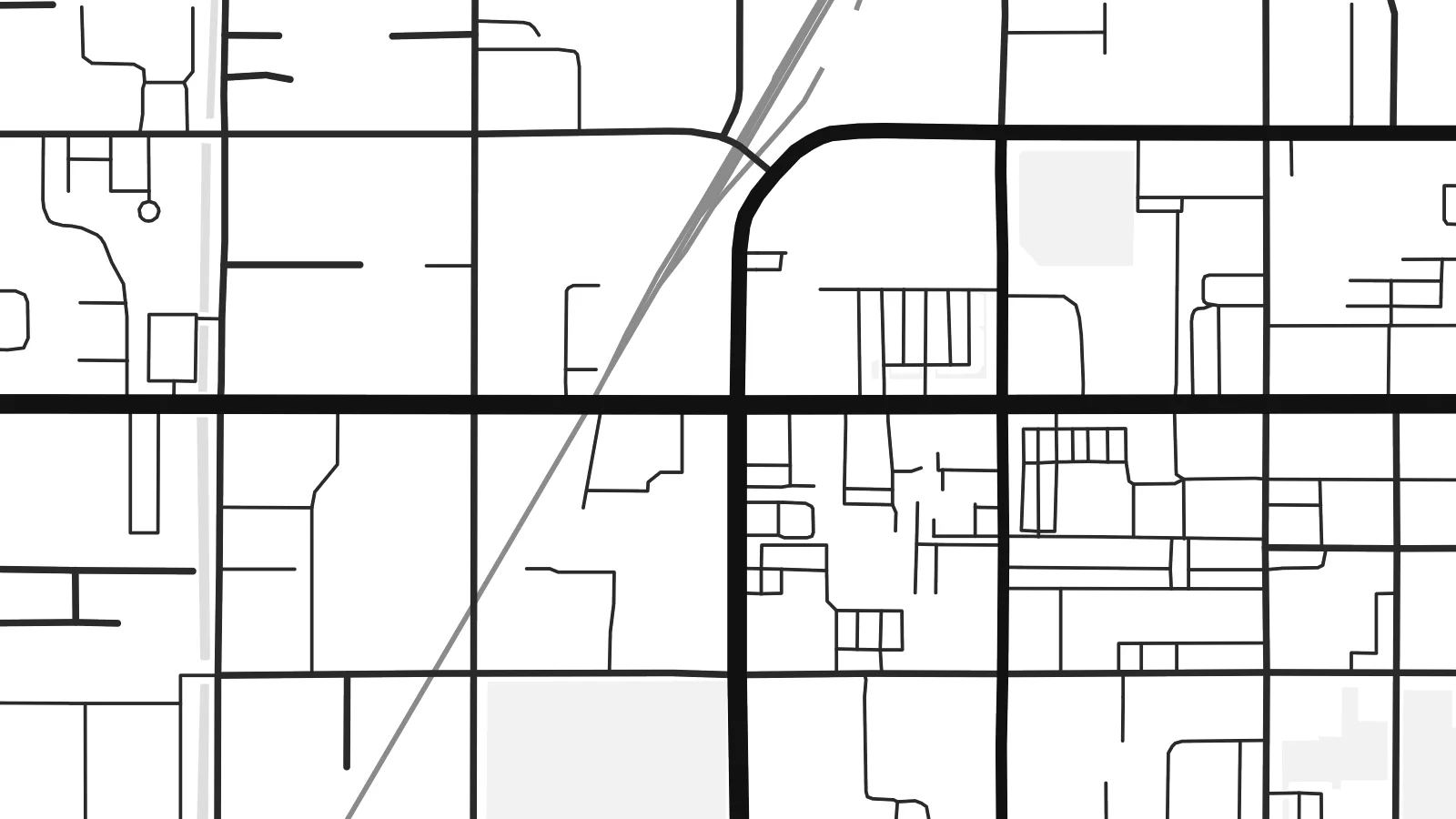
A Rexburg map poster shows the clarity of that original plan: straight streets, generous blocks, and the larger shapes of the campus and temple grounds. Around the town, the grid continues into farmland as section roads that run for miles in perfectly straight lines. In a minimal style, the result is orderly and open, much like the valley itself.
Broad streets laid out on a compass-aligned grid form large, even blocks, a plan shared by many towns founded by Latter-day Saint settlers across the region.
The university campus fills a substantial area near the centre, its buildings and open spaces standing out against the regular pattern of surrounding residential streets.
The Teton River runs along the northern side of town, a winding line that softens the otherwise strict geometry of streets and farm roads.
Fai mo oe
Faʻaopoopo se aso, se igoa po o sau lava upu, sui le sitaili, lapoʻa po o le itu.
O le preview e leai se totogi e maualalo le resolution ma iai se watermark. O lolomi ma faila HD e faia i le 300 DPI, e oo atu i le 7,200 × 10,800 px, e aunoa ma se watermark.
Aisea Rexburg
Students and graduates of BYU–Idaho often keep a map of Rexburg as a record of their years there, and families in Madison County hang it as a picture of home. It also makes a thoughtful gift for a graduation or a first move.
Personalise the title and subtitle with a name, a class year or a wedding date, and edit the coordinates line. Pick Classic black & white, Noir, Paper, Blueprint or Sand, and order a matte print or download the $9 HD files in six sizes.
Faatau le posita Rexburg| Lapoʻa lolomi | Manino | Faila |
|---|---|---|
| 30 × 40 cm11.8 × 15.7″ | 3,543 × 4,724 px | PNG · PDF |
| 29.7 × 42 cm (A3)11.7 × 16.5″ | 3,508 × 4,961 px | PNG · PDF |
| 42 × 59.4 cm (A2)16.5 × 23.4″ | 4,961 × 7,016 px | PNG · PDF |
| 45.7 × 61 cm18 × 24″ | 5,400 × 7,200 px | PNG · PDF |
| 50 × 70 cm19.7 × 27.6″ | 5,906 × 8,268 px | PNG · PDF |
| 61 × 91.4 cm24 × 36″ | 7,200 × 10,800 px | PNG · PDF |
Ae faʻatusatusa, o le faʻataʻitaʻiga e leai se totogi e 900 px le lautele, e iai le faʻailoga vai ma e mo mata. O faila HD e oʻo atu i le 8× le manino i itu taʻitasi ma e lolomi manino i le lapoʻa atoa o le posta.
Filifili se sitaili i le pito i luga o le itulau, ona filifili lea o le Posita Lolomi — se lapopoa ma, afai e te fiafia, se faavaa — po o Faila HD Numera. E na o le tasi laasaga o le Checkout, ma o le a fesuia'i lou itulau o oka i le taimi lava e mae'a ai le totogi.
E lolomiina i luga o pepa matte maualuga le tulaga e 200 gsm, i se tasi o lapopoa e ono, mai le 30 × 40 cm i le 24 × 36″. E amata le tau o posita lolomi mai le $39, aofia ai le auina atu.
Ioe. Filifili se faavaa laau malosi i le lanu uliuli, sina, oak masani, po o le laau pogisa. E aofia ai se tioata e le gau ma ua saunia e tautau i luga. E amata le tau o posita faavaa mai le $99, aofia ai le auina atu.
E leai se totogi o le auina atu i atunuu e 60+. O pepa ata taʻitasi e lolomiina e le tasi o matou paaga lolomi e latalata mai i atunuu e 30+, ma e masani ona taunuu i le 3–7 aso faigaluega. E mafai ona e mulimulitaia le tulaga ma le sailiga i lalo o My Orders. O nisi atunuu e 2–5 vaiaso, ma i nofoaga e lei matou auina atu iai, e taʻu atu e le saite ia te oe a o lei totogi.
Auina mai se ata i totonu o le 14 aso talu ona taunuu, ma o le a matou toe lolomiina e leai se totogi po o le toe faafoi atu lau tupe.
Ioe. I totonu o le editor i lenei itulau, suia le ulutala, le ulutala laititi ma le laina o coordinates i soo se mea e te fiafia i ai, ma filifili se sitaili ma le lapopoa. O oka lolomi, faavaa ma numera e faaaoga uma lava lau mamanu.
Mo le $9 e te maua ai faila PNG 300 DPI ma PDF ua saunia mo le lolomi i lapopoa uma e ono, e aunoa ma se watermark, e mafai ona lolomi i soo se mea. Le mautinoa lava? Download muamua se preview e leai se totogi ma le watermark.
Latalata ane
