Rustaq Fort
The fort stands at the centre of the old settlement, a solid block on the map with houses, lanes and palm gardens gathered around it.
Posta faʻafanua faigofie · Oman
23.3908° N / 57.4244° E
An oasis town at the foot of Oman's Hajar mountains, where palm groves, wadis and a great fort shape the map


Tasi le aai, lagona e lima
Tapi se sitaili e vaai ai i luga o le puipui. E tutusa uma le tau o sitaili — pe lolomiina, faapipiiina, pe avea ma faila HD.
 Pika Moni · Faila Lolomi 24 × 36″
Manino mo le lolomi
O se vaega atoa (100%) lenei mai le faila lolomi moni. O posita uma — pe lolomiina, faapipiiina pe download mai — e faia i luga o a matou server i le 300 DPI, e oo atu i le 7,200 × 10,800 pika, ina ia manino pea auala laiti i luga o se lolomiga 24 × 36″.
I luga o le puipui


Le faʻafanua
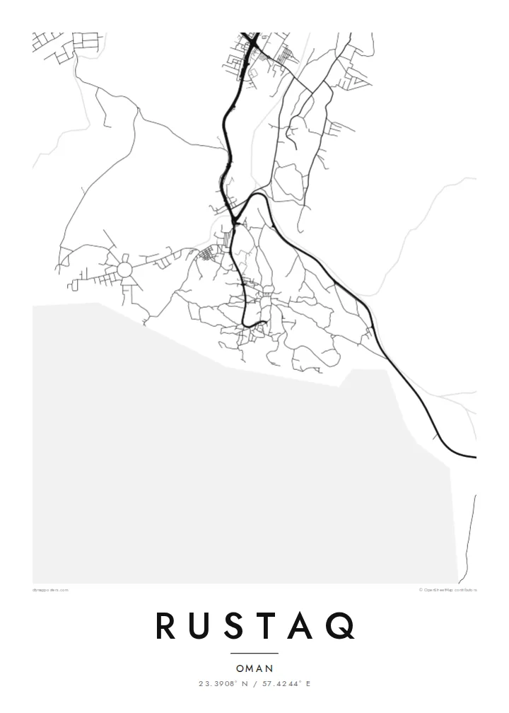
Rustaq lies on the inland side of the Batinah plain, where the Western Hajar mountains begin to rise. From above, it is less a single compact town than a spread of settlements among date palm gardens, linked by roads that follow the wadis down from the hills. On the map, the groves show as open spaces between clusters of streets and houses.
The town has a long history as a seat of power. The origins of Rustaq Fort are often dated to before the Islamic era, and the fort was substantially rebuilt in later centuries. In the seventeenth century, under the Ya'ariba dynasty, Rustaq served as a capital of Oman. There are hot springs nearby, and the traditional falaj channels that carry water to the date gardens are still part of daily life.
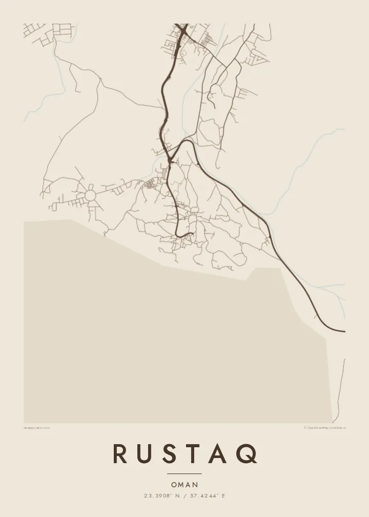
A Rustaq map poster sets the soft, scattered forms of the oasis against the hard edge of the mountains beyond. Roads curve along dry riverbeds, the fort is a strong central mark, and the settlement fans out wherever there was water. The composition is shaped far more by geography than by planning.
The fort stands at the centre of the old settlement, a solid block on the map with houses, lanes and palm gardens gathered around it.
Date groves irrigated by falaj channels fill the spaces between settlements. They leave broad open areas that give the print a light, airy texture.
Roads follow the dry riverbeds that come down from the Hajar range, drawing gentle curved lines from the mountains toward the plain.
Fai mo oe
Faʻaopoopo se aso, se igoa po o sau lava upu, sui le sitaili, lapoʻa po o le itu.
O le preview e leai se totogi e maualalo le resolution ma iai se watermark. O lolomi ma faila HD e faia i le 300 DPI, e oo atu i le 7,200 × 10,800 px, e aunoa ma se watermark.
Aisea Rustaq
For Omanis from Rustaq and residents of the Batinah region, the map is a portrait of home shaped by water and mountains. Visitors who came for the fort, the springs or the mountain drives will recognise it too.
Set your own title, subtitle and coordinates, and choose Classic black & white, Noir, Paper, Blueprint or Sand. The $9 digital HD files come as 300 DPI PNG and print-ready PDF, or you can order a printed poster, framed or unframed.
Faatau le posita Rustaq| Lapoʻa lolomi | Manino | Faila |
|---|---|---|
| 30 × 40 cm (11.8 × 15.7″) | 3,543 × 4,724 px | PNG · PDF |
| 29.7 × 42 cm (A3, 11.7 × 16.5″) | 3,508 × 4,961 px | PNG · PDF |
| 42 × 59.4 cm (A2, 16.5 × 23.4″) | 4,961 × 7,016 px | PNG · PDF |
| 45.7 × 61 cm (18 × 24″) | 5,400 × 7,200 px | PNG · PDF |
| 50 × 70 cm (19.7 × 27.6″) | 5,906 × 8,268 px | PNG · PDF |
| 61 × 91.4 cm (24 × 36″) | 7,200 × 10,800 px | PNG · PDF |
Ae faʻatusatusa, o le faʻataʻitaʻiga e leai se totogi e 900 px le lautele, e iai le faʻailoga vai ma e mo mata. O faila HD e oʻo atu i le 8× le manino i itu taʻitasi ma e lolomi manino i le lapoʻa atoa o le posta.
Filifili se sitaili i le pito i luga o le itulau, ona filifili lea o le Posita Lolomi — se lapopoa ma, afai e te fiafia, se faavaa — po o Faila HD Numera. E na o le tasi laasaga o le Checkout, ma o le a fesuia'i lou itulau o oka i le taimi lava e mae'a ai le totogi.
E lolomiina i luga o pepa matte maualuga le tulaga e 200 gsm, i se tasi o lapopoa e ono, mai le 30 × 40 cm i le 24 × 36″. E amata le tau o posita lolomi mai le {printFrom}, aofia ai le auina atu.
Ioe. Filifili se faavaa laau malosi i le lanu uliuli, sina, oak masani, po o le laau pogisa. E aofia ai se tioata e le gau ma ua saunia e tautau i luga. E amata le tau o posita faavaa mai le {framedFrom}, aofia ai le auina atu.
E leai se totogi mo le uta i le lalolagi atoa. O poster ta'itasi e lolomi e le paaga lolomi e latalata mai i matou i atunuu e 30+, ma e masani ona taunuu i aso faigaluega e 3–7. E mafai ona e mulimuli i le tulaga ma le tracking i le "Aʻu Oka". O nisi atunuu e 2–5 vaiaso, ma i atunuu matou te lei tuuina atu ai, e taʻu atu e le saite iā te oe ae e te leʻi totogiina.
Auina mai se ata i totonu o le 14 aso talu ona taunuu, ma o le a matou toe lolomiina e leai se totogi po o le toe faafoi atu lau tupe.
Ioe. I totonu o le editor i lenei itulau, suia le ulutala, le ulutala laititi ma le laina o coordinates i soo se mea e te fiafia i ai, ma filifili se sitaili ma le lapopoa. O oka lolomi, faavaa ma numera e faaaoga uma lava lau mamanu.
Mo le $9 e te maua ai faila PNG 300 DPI ma PDF ua saunia mo le lolomi i lapopoa uma e ono, e aunoa ma se watermark, e mafai ona lolomi i soo se mea. Le mautinoa lava? Download muamua se preview e leai se totogi ma le watermark.
Latalata ane
