Gialos harbour
The main harbour sits at the end of a narrow inlet, with streets climbing the hillsides on both sides. On the poster it forms a dense, amphitheatre-shaped cluster at the island's northern end.
Posta faʻafanua faigofie · Greece
36.5904° N / 27.8232° E
A rocky, deeply indented island off the Turkish coast, with a steep amphitheatre harbour and long bays cutting inland.


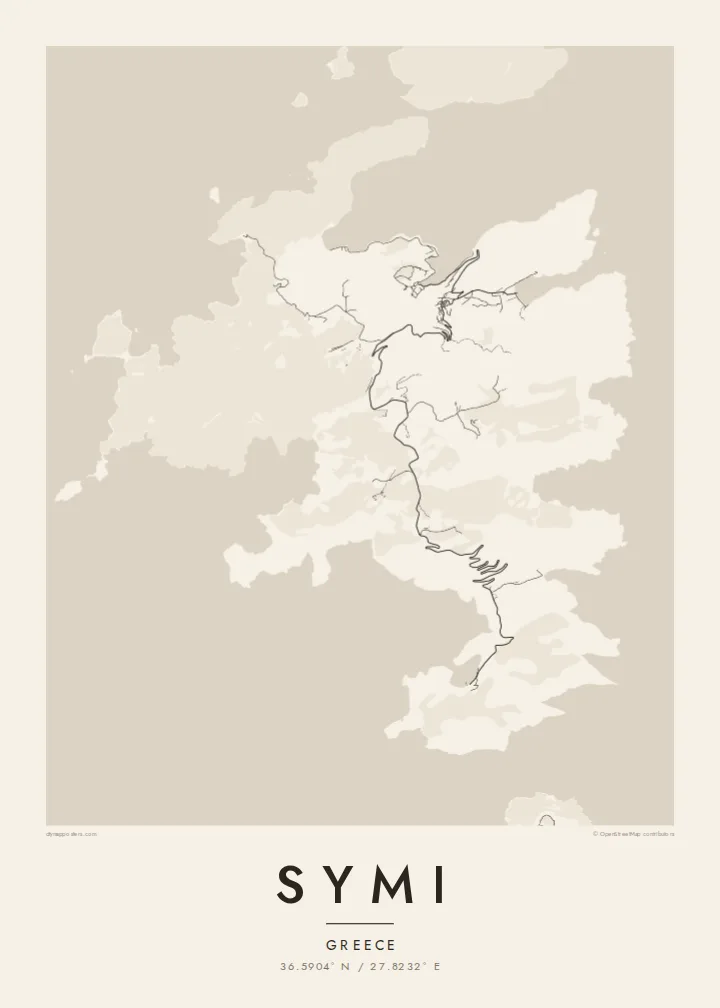

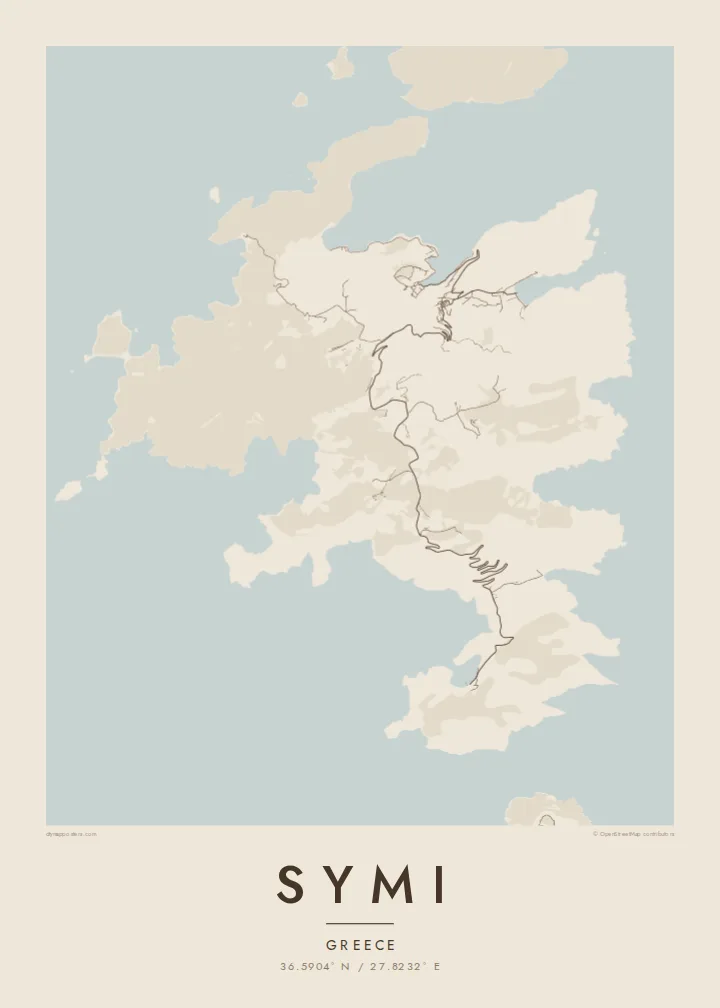
Tasi le aai, lagona e lima
Tapi se sitaili e vaai ai i luga o le puipui. E tutusa uma le tau o sitaili — pe lolomiina, faapipiiina, pe avea ma faila HD.
 Pika Moni · Faila Lolomi 24 × 36″
Manino mo le lolomi
O se vaega atoa (100%) lenei mai le faila lolomi moni. O posita uma — pe lolomiina, faapipiiina pe download mai — e faia i luga o a matou server i le 300 DPI, e oo atu i le 7,200 × 10,800 pika, ina ia manino pea auala laiti i luga o se lolomiga 24 × 36″.
I luga o le puipui


Le faʻafanua
Symi lies in the Dodecanese, north of Rhodes and just off the Turkish coast. Its outline is intricate: long, narrow bays, headlands and small islets make the coastline far longer than the island's size would suggest. The interior is dry and hilly, crossed by a few roads and many old paths, with most of the population concentrated around the main harbour in the north.
Gialos, the harbour town, rises in tiers around a narrow inlet, its neoclassical houses stacked up the slopes, while the older upper village of Chorio sits above, reached by the Kali Strata, a long stone staircase. The island grew wealthy in the nineteenth century from sponge diving and shipbuilding, and that prosperity is still visible in the architecture around the port.
In the far south, in a deep bay of its own, stands the Monastery of the Archangel Michael at Panormitis, a major pilgrimage site. A Symi map poster shows both ends of the island and everything between: a tight harbour town, a sparse interior and a coastline that folds in on itself again and again.
The main harbour sits at the end of a narrow inlet, with streets climbing the hillsides on both sides. On the poster it forms a dense, amphitheatre-shaped cluster at the island's northern end.
This long stone stairway connects the harbour with the upper village of Chorio. On the map, the steep link between lower and upper town is traced by closely spaced lanes and steps.
A deep, almost enclosed bay in the south shelters the monastery of Panormitis. It is one of the most distinctive notches in a coastline that is full of them.
Fai mo oe
Faʻaopoopo se aso, se igoa po o sau lava upu, sui le sitaili, lapoʻa po o le itu.
O le preview e leai se totogi e maualalo le resolution ma iai se watermark. O lolomi ma faila HD e faia i le 300 DPI, e oo atu i le 7,200 × 10,800 px, e aunoa ma se watermark.
Aisea Symi
Symi is a place many people return to year after year, drawn by its harbour and its quiet southern bays. A map of the island keeps those details close: the stairs, the inlets, the long road over the hills to the monastery.
You can add your own title, a subtitle marking a wedding, an anniversary or a first visit, and a custom coordinates line. Choose from Classic black & white, Noir, Paper, Blueprint or Sand, and order it as a printed poster on matte paper, with or without a wooden frame.
Faatau le posita Symi| Lapoʻa lolomi | Manino | Faila |
|---|---|---|
| 30 × 40 cm (11.8 × 15.7″) | 3,543 × 4,724 px | PNG · PDF |
| 29.7 × 42 cm (A3, 11.7 × 16.5″) | 3,508 × 4,961 px | PNG · PDF |
| 42 × 59.4 cm (A2, 16.5 × 23.4″) | 4,961 × 7,016 px | PNG · PDF |
| 45.7 × 61 cm (18 × 24″) | 5,400 × 7,200 px | PNG · PDF |
| 50 × 70 cm (19.7 × 27.6″) | 5,906 × 8,268 px | PNG · PDF |
| 61 × 91.4 cm (24 × 36″) | 7,200 × 10,800 px | PNG · PDF |
Ae faʻatusatusa, o le faʻataʻitaʻiga e leai se totogi e 900 px le lautele, e iai le faʻailoga vai ma e mo mata. O faila HD e oʻo atu i le 8× le manino i itu taʻitasi ma e lolomi manino i le lapoʻa atoa o le posta.
Filifili se sitaili i le pito i luga o le itulau, ona filifili lea o le Posita Lolomi — se lapopoa ma, afai e te fiafia, se faavaa — po o Faila HD Numera. E na o le tasi laasaga o le Checkout, ma o le a fesuia'i lou itulau o oka i le taimi lava e mae'a ai le totogi.
E lolomiina i luga o pepa matte maualuga le tulaga e 200 gsm, i se tasi o lapopoa e ono, mai le 30 × 40 cm i le 24 × 36″. E amata le tau o posita lolomi mai le $39, aofia ai le auina atu.
Ioe. Filifili se faavaa laau malosi i le lanu uliuli, sina, oak masani, po o le laau pogisa. E aofia ai se tioata e le gau ma ua saunia e tautau i luga. E amata le tau o posita faavaa mai le $99, aofia ai le auina atu.
E leai se totogi mo le uta i le lalolagi atoa. O poster ta'itasi e lolomi e le paaga lolomi e latalata mai i matou i atunuu e 30+, ma e masani ona taunuu i aso faigaluega e 3–7. E mafai ona e mulimuli i le tulaga ma le tracking i le "Aʻu Oka". O nisi atunuu e 2–5 vaiaso, ma i atunuu matou te lei tuuina atu ai, e taʻu atu e le saite iā te oe ae e te leʻi totogiina.
Auina mai se ata i totonu o le 14 aso talu ona taunuu, ma o le a matou toe lolomiina e leai se totogi po o le toe faafoi atu lau tupe.
Ioe. I totonu o le editor i lenei itulau, suia le ulutala, le ulutala laititi ma le laina o coordinates i soo se mea e te fiafia i ai, ma filifili se sitaili ma le lapopoa. O oka lolomi, faavaa ma numera e faaaoga uma lava lau mamanu.
Mo le $9 e te maua ai faila PNG 300 DPI ma PDF ua saunia mo le lolomi i lapopoa uma e ono, e aunoa ma se watermark, e mafai ona lolomi i soo se mea. Le mautinoa lava? Download muamua se preview e leai se totogi ma le watermark.
Latalata ane
