Loire and islands
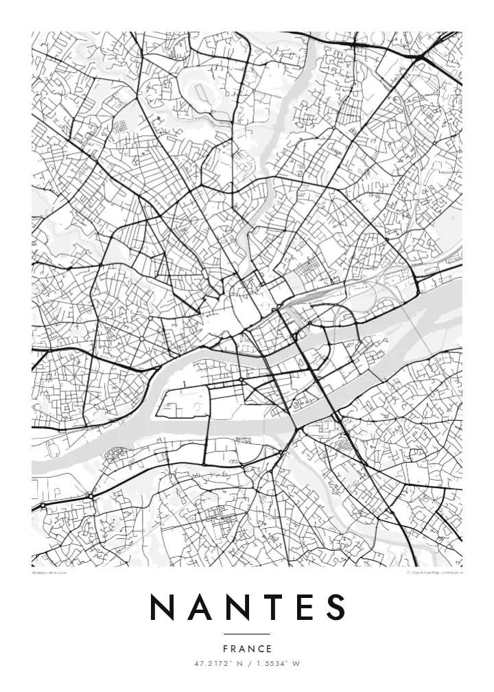
The Loire splits around the Île de Nantes, creating a large island linked to both banks by bridges.
Bango la ramani la kisasa · Ufaransa
47.2172° N / 1.5534° W
A city of islands and filled-in channels where the Erdre meets the Loire, divided by water and bridges.


Mji mmoja, hisia tano
Gusa mtindo ili kuuona ukutani. Mitindo yote yana bei sawa — iliyochapishwa, yenye fremu au kama faili za HD.
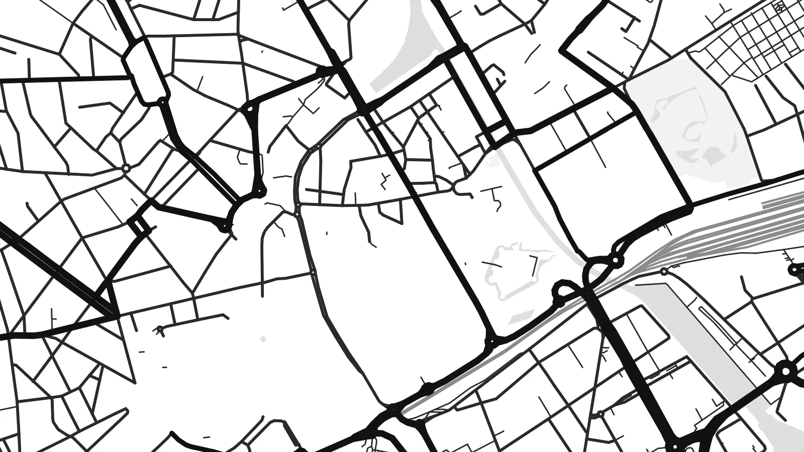 Pikseli halisi · faili la kuchapisha 24 × 36″
Makali ya kuchapisha
Hii ni sehemu ya 100% ya faili halisi la kuchapisha. Kila bango — likiwa limechapishwa, lenye fremu au lililopakuliwa — huundwa kwenye seva zetu kwa 300 DPI, hadi pikseli 7,200 × 10,800, ili hata njia ndogo kabisa zibaki wazi kwenye uchapishaji wa 24 × 36″.
Ukutani


Ramani
Nantes lies on the Loire River, about 50 kilometres from the Atlantic, at the point where the Erdre and the Sèvre Nantaise join the main river. On a map the city is organised around these waterways, with islands, bridges and quays shaping the central districts.
In the twentieth century several arms of the Loire and Erdre were filled in, creating wide boulevards where water once flowed. The Île de Nantes, a large island in the river, has become a redevelopment area with parks and cultural sites, including the mechanical animals of Les Machines de l'île.
A Nantes map poster shows the historic centre around the Château des ducs de Bretagne, the curving Erdre to the north and the wide Loire to the south. Nantes is also the birthplace of Jules Verne, whose imagination is reflected in the city's museums and in the playful machines on the island.
The Loire splits around the Île de Nantes, creating a large island linked to both banks by bridges.
The Erdre flows south into the city, its winding course lined with parks and older buildings.
Wide boulevards in the centre follow the lines of former river arms, recording how the city reshaped its waterways.
Ifanye iwe yako
Ongeza tarehe, jina au maneno yako mwenyewe, badilisha mtindo, saizi au mkao.
Onyesho la bure lina ubora wa chini na alama ya maji. Machapisho na faili za HD huundwa kwa 300 DPI, hadi px 7,200 × 10,800, bila alama ya maji.
Kwa nini Nantes
Nantes is a city where water and streets interweave, and a map poster reveals that structure clearly. It can mark a place of study, work or a favourite walk along the Loire.
Personalise the title, subtitle and coordinates, and pick from five styles: Classic black & white, Noir, Paper, Blueprint or Sand. A free watermarked preview is available, and HD downloads cost $9.
Agiza bango la Nantes| Saizi ya kuchapisha | Ubora | Faili |
|---|---|---|
| 30 × 40 cm11.8 × 15.7″ | 3,543 × 4,724 px | PNG · PDF |
| 29.7 × 42 cm (A3)11.7 × 16.5″ | 3,508 × 4,961 px | PNG · PDF |
| 42 × 59.4 cm (A2)16.5 × 23.4″ | 4,961 × 7,016 px | PNG · PDF |
| 45.7 × 61 cm18 × 24″ | 5,400 × 7,200 px | PNG · PDF |
| 50 × 70 cm19.7 × 27.6″ | 5,906 × 8,268 px | PNG · PDF |
| 61 × 91.4 cm24 × 36″ | 7,200 × 10,800 px | PNG · PDF |
Kwa kulinganisha, hakikisho la bure lina upana wa px 900, lina alama ya maji na limekusudiwa kwa skrini. Faili za HD zina ubora hadi mara 8 zaidi kila upande na huchapishwa vizuri kwa saizi kamili ya bango.
Chagua mtindo juu ya ukurasa, kisha chagua Bango Lililochapishwa — ukubwa na, ukipenda, fremu — au Faili za Kidijitali za HD. Malipo huchukua hatua moja tu, na ukurasa wa agizo lako husasishwa mara malipo yanapokamilika.
Huchapishwa kwenye karatasi bora ya matte ya 200 gsm katika mojawapo ya ukubwa sita, kutoka 30 × 40 cm hadi 24 × 36″. Mabango yaliyochapishwa huanzia $39, ikijumuisha usafirishaji.
Ndiyo. Chagua fremu ya mbao thabiti katika rangi nyeusi, nyeupe, mwaloni wa asili au mbao nyeusi. Inakuja na kioo kisichovunjika na iko tayari kuning'inizwa. Mabango yenye fremu huanzia $99, ikijumuisha usafirishaji.
Usafirishaji ni bila malipo kwa nchi 60+. Kila bango huchapishwa na mshirika wetu wa uchapishaji aliye karibu zaidi nawe, kati ya nchi 30+, na kwa kawaida hufika ndani ya siku 3–7 za kazi. Unaweza kufuatilia hali na ufuatiliaji wa kifurushi katika Oda Zangu. Nchi chache huchukua wiki 2–5, na pale ambapo bado hatusafirishi, tovuti hukueleza kabla ya kulipa.
Tutumie picha ndani ya siku 14 baada ya kufika na tutalichapisha upya bila malipo au kukurejeshea pesa.
Ndiyo. Kwenye kihariri cha ukurasa huu, badilisha kichwa, kichwa kidogo na mstari wa kuratibu kuwa chochote unachopenda, kisha chagua mtindo na ukubwa. Maagizo yaliyochapishwa, yenye fremu na ya kidijitali yote hutumia muundo wako hasa.
Kwa $9 unapata faili za PNG za 300 DPI na PDF tayari kuchapishwa katika ukubwa wote sita, bila alama ya maji, ili uchapishe popote. Bado huna uhakika? Pakua kwanza onyesho la bure lenye alama ya maji.
