The Nile
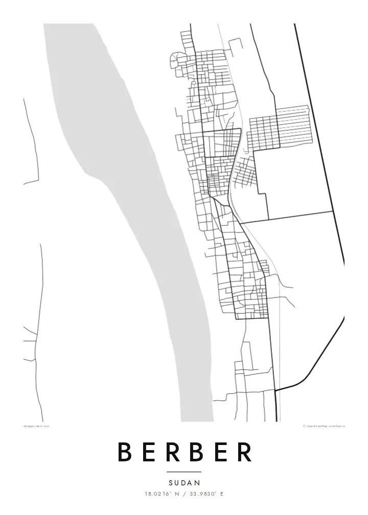
The river runs along the western edge of the town, its broad course and islands forming the map's dominant natural feature and the reason the town exists.
Qeeqabak kaartah poster · Sudan
18.0216° N / 33.9830° E
A Nile town in northern Sudan, a narrow band of streets and fields between the river and the desert.


Inki magaala, konoy gaba
Qande inkih tibbixeeh derre baguley table. Kulli qande missoowa caagid—daabbisimta, dirbaabu-le kaadu HD fayla akah.
 Cagalah pixels · 24 × 36″ daabbi fayla
Maxxaacah qeeqa
Tama usuk cagalah daabbi faylak 100% qambaala. Kulli poster — daabbisimta, dirbaabu-le kaadu download geytimta — ni-server-ittal 300 DPI-l ederimta, 7,200 × 10,800 pixels fanah, tokkel iyyi ellee catoy 24 × 36″ daabbi baxsi bahisak raaqu.
Gidarih


Kaarta
Berber lies on the east bank of the Nile in River Nile state, in northern Sudan, a short distance north of the river's confluence with the Atbara. From above, the town forms a narrow strip along the river, with a band of cultivated land close to the water and open desert beginning abruptly beyond it. That sharp contrast is the defining feature of the map.
Historically, Berber was an important trading town and the starting point of a caravan route across the desert to Suakin on the Red Sea coast. That role made it a significant link between the Nile valley and the sea for centuries, before railways changed the patterns of trade in the region.
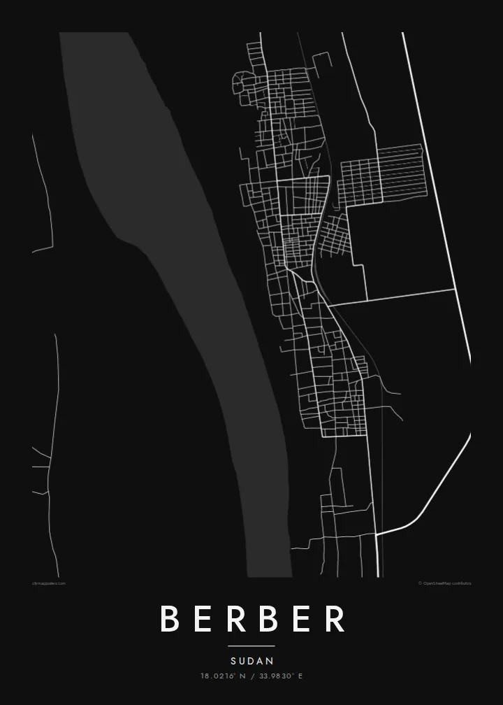
A Berber map poster shows a place defined by water and desert: the curve of the Nile, the thin green belt of fields along its banks, and the town stretched between them. It is a spare and powerful composition that works particularly well in minimalist black and white.
The river runs along the western edge of the town, its broad course and islands forming the map's dominant natural feature and the reason the town exists.
A narrow strip of farmland follows the river, marked by irrigation channels and field boundaries, contrasting with the open desert just beyond.
Berber stretches along the river rather than spreading outward, giving the map an elongated shape shaped by access to water and the old trade routes.
Kok tanim ab
Ayro, migaq hinnay kok tan xagar osis; gaba, ballaqa hinnay xiqa soorris.
Free preview qansarissi kee watermark-le. Daabbisimtaan kee HD fayla 300 DPI-l, 7,200 × 10,800 px fanah, watermark maleh ederimta.
Macah Berber
For people with roots in the Nile valley, a map of Berber is a clear and personal connection to a historic town. The contrast between river and desert gives it a striking visual presence on any wall.
The title, subtitle and coordinates line can be personalised with a family name or a date, and five styles are available. Sand evokes the desert setting, while Noir makes the river a strong dark line.
Berber poster orme| Maxxaacah ballaqa | Qeeqa | Faylal |
|---|---|---|
| 30 × 40 cm (11.8 × 15.7″) | 3,543 × 4,724 px | PNG · PDF |
| 29.7 × 42 cm (A3, 11.7 × 16.5″) | 3,508 × 4,961 px | PNG · PDF |
| 42 × 59.4 cm (A2, 16.5 × 23.4″) | 4,961 × 7,016 px | PNG · PDF |
| 45.7 × 61 cm (18 × 24″) | 5,400 × 7,200 px | PNG · PDF |
| 50 × 70 cm (19.7 × 27.6″) | 5,906 × 8,268 px | PNG · PDF |
| 61 × 91.4 cm (24 × 36″) | 7,200 × 10,800 px | PNG · PDF |
Tabbaltah, limo-wayta xaqqa-le ablo 900 px ballaqa le, asta le, iskiriinih keh tan. HD faylal gexsoh inkih addal 8× fanah qeeqa le, poster ballaqa inkih addal meqeh maxxaacimta.
Baxxaqqa qari le qandiy dooriy, tohuk lakal Daabbisimtah Poster — kutuk kee, faxximek, dirbaabu — hinnay HD Digital Fayla dooru. Checkout inki wagitti geytima, kaadu ku-orme page keenih adissa akke waqdi caagoy kummite.
Usuk 200 gsm-le catam kutuk warqatal, lica katiy caagitte {printFrom}-ik hane ayta 30 × 40 cm-ik 24 × 36″ fanah, xaagu keenil warreeh.
Ee. Sarrah-le dirbaabu doori — bad, gudduc, oak-le hinnay bad-madabuy. Usuk finqisiimam ellee sange qarab-le kaadu qari umukku iyya keenih taagu. Dirbaabu-le poster {framedFrom}-ik hane, xaagu keenil warreeh.
Xaagu addunyal inkih cisab-le. Kulli poster 30+ ummattak ni-daabbi-mara mananih xayyoysa kaadu 3–7 caagu-ayróh fanah geeytima. Ku-orme kee xaagu tarikiy My Orders addal ablitta.
Geytimeek 14 ayróy addal foto naah rubbaay, cisab-le daabbisiynah hinnay ku-lacay gacisnaah.
Ee. Tama page-l edito addal, migaaq, subtitle kee coordinates sarrah faxxem fanah badal, kaadu qande kee katiy doori. Daabbisimtah, dirbaabu-le kaadu digital orme inkih ku-design cagalah yekkelen.
$9 bacisak 300 DPI PNG kee daabbisimtah adissime PDF fayla lica katiy inkih, watermark maleh, ayyi meki daabbisimtah geeytitta. Cisab makkoysemty ana? Awqak, watermark-le free preview download-eh.
