Mount Kanlaon
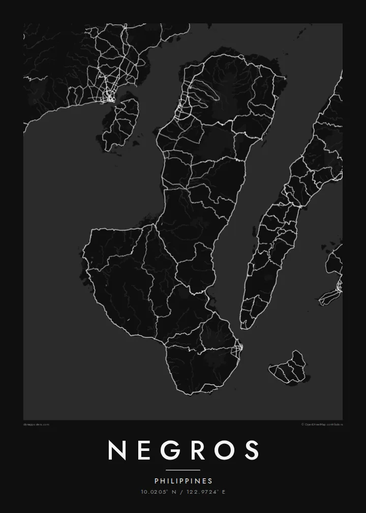
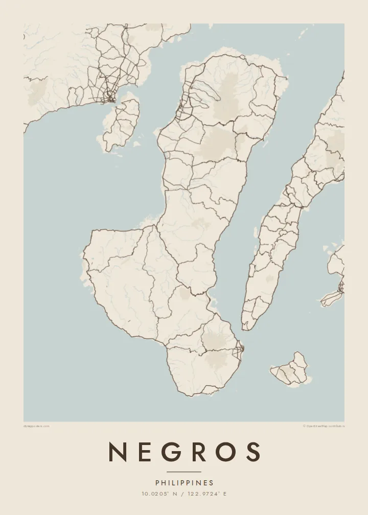
The active volcano dominates the northern half of the island, a wide cone surrounded by forest that pushes roads and towns out toward the coasts.
Qeeqabak kaartah poster · Philippines
10.0205° N / 122.9724° E
A boot-shaped Visayan island split by a volcanic spine, with sugar-cane plains on the west and a narrower coast to the east.



Inki magaala, konoy gaba
Qande inkih tibbixeeh derre baguley table. Kulli qande missoowa caagid—daabbisimta, dirbaabu-le kaadu HD fayla akah.
 Cagalah pixels · 24 × 36″ daabbi fayla
Maxxaacah qeeqa
Tama usuk cagalah daabbi faylak 100% qambaala. Kulli poster — daabbisimta, dirbaabu-le kaadu download geytimta — ni-server-ittal 300 DPI-l ederimta, 7,200 × 10,800 pixels fanah, tokkel iyyi ellee catoy 24 × 36″ daabbi baxsi bahisak raaqu.
Gidarih


Kaarta
Negros is the fourth-largest island in the Philippines, a long landmass in the central Visayas that bends from north to south-east. A chain of mountains runs down its length and divides it in two, not only on the map but administratively: Negros Occidental on the western side and Negros Oriental on the eastern side face different seas and look toward different neighbouring islands.
Mount Kanlaon, an active stratovolcano and the highest peak in the Visayas, rises in the north-central part of the island. West of the mountains lie broad, flat plains long given over to sugar cane, and the map there fills with a dense lattice of farm roads and towns. Bacolod, the largest city, sits on this western coast facing Guimaras Strait and Panay.
On the south-east coast, Dumaguete is a university city with a seaside boulevard, looking out toward the island of Siquijor. A Negros map poster brings these two halves together: the orderly western plains, the volcanic ridge along the middle, the tighter, steeper eastern shore, and the coastal highway that loops around almost the whole island.
The active volcano dominates the northern half of the island, a wide cone surrounded by forest that pushes roads and towns out toward the coasts.
Between the mountains and Guimaras Strait, flat farmland carries a dense web of roads and towns, including Bacolod, Silay and Talisay, one after another along the coast.
At the south-east corner the city of Dumaguete gathers around its seafront boulevard and university campus, the densest cluster of streets on the Negros Oriental side.
Kok tanim ab
Ayro, migaq hinnay kok tan xagar osis; gaba, ballaqa hinnay xiqa soorris.
Free preview qansarissi kee watermark-le. Daabbisimtaan kee HD fayla 300 DPI-l, 7,200 × 10,800 px fanah, watermark maleh ederimta.
Macah Negros
For many families Negros is home, whether their roots lie in a sugar town in the west or in a village above Dumaguete. The whole island on one sheet shows both provinces together and the mountains between them, a map that easily starts a conversation.
Label it with a family name, a hometown or a date that matters, and choose one of five styles, from Classic black & white and Noir to Paper, Blueprint and Sand. The $9 digital files come in six print sizes without a watermark, ready for any local printer.
Negros poster orme| Maxxaacah ballaqa | Qeeqa | Faylal |
|---|---|---|
| 30 × 40 cm (11.8 × 15.7″) | 3,543 × 4,724 px | PNG · PDF |
| 29.7 × 42 cm (A3, 11.7 × 16.5″) | 3,508 × 4,961 px | PNG · PDF |
| 42 × 59.4 cm (A2, 16.5 × 23.4″) | 4,961 × 7,016 px | PNG · PDF |
| 45.7 × 61 cm (18 × 24″) | 5,400 × 7,200 px | PNG · PDF |
| 50 × 70 cm (19.7 × 27.6″) | 5,906 × 8,268 px | PNG · PDF |
| 61 × 91.4 cm (24 × 36″) | 7,200 × 10,800 px | PNG · PDF |
Tabbaltah, limo-wayta xaqqa-le ablo 900 px ballaqa le, asta le, iskiriinih keh tan. HD faylal gexsoh inkih addal 8× fanah qeeqa le, poster ballaqa inkih addal meqeh maxxaacimta.
Baxxaqqa qari le qandiy dooriy, tohuk lakal Daabbisimtah Poster — kutuk kee, faxximek, dirbaabu — hinnay HD Digital Fayla dooru. Checkout inki wagitti geytima, kaadu ku-orme page keenih adissa akke waqdi caagoy kummite.
Usuk 200 gsm-le catam kutuk warqatal, lica katiy caagitte $39-ik hane ayta 30 × 40 cm-ik 24 × 36″ fanah, xaagu keenil warreeh.
Ee. Sarrah-le dirbaabu doori — bad, gudduc, oak-le hinnay bad-madabuy. Usuk finqisiimam ellee sange qarab-le kaadu qari umukku iyya keenih taagu. Dirbaabu-le poster $99-ik hane, xaagu keenil warreeh.
Shipping is free worldwide. Each poster is printed by the nearest of our print partners in 30+ countries and usually arrives in 3–7 business days. You can follow the status and tracking under My Orders. A few countries take 2–5 weeks, and where we don't ship yet, the site tells you before you pay.
Geytimeek 14 ayróy addal foto naah rubbaay, cisab-le daabbisiynah hinnay ku-lacay gacisnaah.
Ee. Tama page-l edito addal, migaaq, subtitle kee coordinates sarrah faxxem fanah badal, kaadu qande kee katiy doori. Daabbisimtah, dirbaabu-le kaadu digital orme inkih ku-design cagalah yekkelen.
$9 bacisak 300 DPI PNG kee daabbisimtah adissime PDF fayla lica katiy inkih, watermark maleh, ayyi meki daabbisimtah geeytitta. Cisab makkoysemty ana? Awqak, watermark-le free preview download-eh.
