Hachiman-bori canal
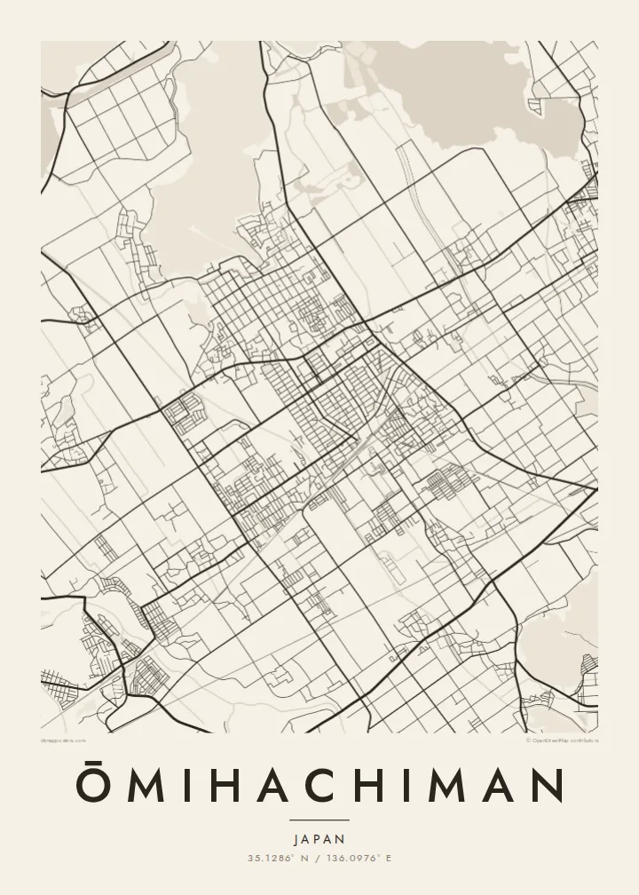
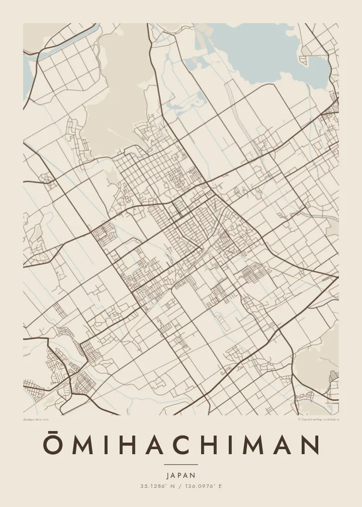
The old trade canal bends through the historic district below the mountain. On the poster it is a slim, deliberate line of water inside the orderly street grid.
Qeeqabak kaartah poster · Japan
35.1286° N / 136.0976° E
An old merchant town between Mount Hachiman and Lake Biwa, laced with a stone-lined canal and reed-filled lagoons.



Inki magaala, konoy gaba
Qande inkih tibbixeeh derre baguley table. Kulli qande missoowa caagid—daabbisimta, dirbaabu-le kaadu HD fayla akah.
 Cagalah pixels · 24 × 36″ daabbi fayla
Maxxaacah qeeqa
Tama usuk cagalah daabbi faylak 100% qambaala. Kulli poster — daabbisimta, dirbaabu-le kaadu download geytimta — ni-server-ittal 300 DPI-l ederimta, 7,200 × 10,800 pixels fanah, tokkel iyyi ellee catoy 24 × 36″ daabbi baxsi bahisak raaqu.
Gidarih


Kaarta
Ōmihachiman lies on the eastern shore of Lake Biwa, Japan's largest lake. The historic core sits at the foot of Mount Hachiman, a small forested peak that once held a castle built by Toyotomi Hidetsugu in the late sixteenth century. Below it, the old town's streets form a tidy grid that the castle-town planners laid out for trade.
Running through that grid is the Hachiman-bori, a canal that linked the town to the lake and carried goods for the Ōmi merchants. These traders were famous across Japan for their business ethics. To the north and west, the map dissolves into the Nishinoko lagoons and reed beds, then open water, with Okishima further out, one of the rare inhabited islands in a freshwater lake.
In the twentieth century the American architect William Merrell Vories settled here and designed many buildings still standing in the town. An Ōmihachiman map poster brings together a surprising amount on one sheet: a grid of merchant streets, a canal curve, a wooded hill and the soft edges of the lake.
The old trade canal bends through the historic district below the mountain. On the poster it is a slim, deliberate line of water inside the orderly street grid.
This small forested peak, once the site of Hidetsugu's castle, rises directly behind the old town. It shows as a dark, unbuilt mass at the top of the grid.
Lagoons and reed beds open into the lake, where Okishima island floats offshore. Together they turn the northern half of the map into shoreline and water.
Kok tanim ab
Ayro, migaq hinnay kok tan xagar osis; gaba, ballaqa hinnay xiqa soorris.
Free preview qansarissi kee watermark-le. Daabbisimtaan kee HD fayla 300 DPI-l, 7,200 × 10,800 px fanah, watermark maleh ederimta.
Macah Ōmihachiman
Ōmihachiman appeals to anyone who has walked its canal, studied the Ōmi merchants or admired Vories' buildings. Its mix of water and grid is also simply beautiful on paper. It makes a considered print for a reading room or a quiet corner.
Set the title in your own words, add a date or a line of text as the subtitle, and keep or edit the coordinates. Paper and Sand bring out the historic feel, while Noir makes the lake read as deep shadow. HD files are $9, and prints can be framed.
Ōmihachiman poster orme| Maxxaacah ballaqa | Qeeqa | Faylal |
|---|---|---|
| 30 × 40 cm11.8 × 15.7″ | 3,543 × 4,724 px | PNG · PDF |
| 29.7 × 42 cm (A3)11.7 × 16.5″ | 3,508 × 4,961 px | PNG · PDF |
| 42 × 59.4 cm (A2)16.5 × 23.4″ | 4,961 × 7,016 px | PNG · PDF |
| 45.7 × 61 cm18 × 24″ | 5,400 × 7,200 px | PNG · PDF |
| 50 × 70 cm19.7 × 27.6″ | 5,906 × 8,268 px | PNG · PDF |
| 61 × 91.4 cm24 × 36″ | 7,200 × 10,800 px | PNG · PDF |
Tabbaltah, limo-wayta xaqqa-le ablo 900 px ballaqa le, asta le, iskiriinih keh tan. HD faylal gexsoh inkih addal 8× fanah qeeqa le, poster ballaqa inkih addal meqeh maxxaacimta.
Baxxaqqa qari le qandiy dooriy, tohuk lakal Daabbisimtah Poster — kutuk kee, faxximek, dirbaabu — hinnay HD Digital Fayla dooru. Checkout inki wagitti geytima, kaadu ku-orme page keenih adissa akke waqdi caagoy kummite.
Usuk 200 gsm-le catam kutuk warqatal, lica katiy caagitte $39-ik hane ayta 30 × 40 cm-ik 24 × 36″ fanah, xaagu keenil warreeh.
Ee. Sarrah-le dirbaabu doori — bad, gudduc, oak-le hinnay bad-madabuy. Usuk finqisiimam ellee sange qarab-le kaadu qari umukku iyya keenih taagu. Dirbaabu-le poster $99-ik hane, xaagu keenil warreeh.
Dirsa 60+ baaxoh bilsa. Poster kasa 30+ baaxoh nel print kaadu yan kee dirgeh kaxxa kee tanah printa, kee 3–7 xaqu ayyaamah yaaxigeeh. Xaaloo kee tracking "Ac Order" gexsitam. Kaadu baaxo 2–5 isbuuc yaaxigeeh, nanu dirsi yanin baaxoh sajiitah site ku kalah tekkeh.
Geytimeek 14 ayróy addal foto naah rubbaay, cisab-le daabbisiynah hinnay ku-lacay gacisnaah.
Ee. Tama page-l edito addal, migaaq, subtitle kee coordinates sarrah faxxem fanah badal, kaadu qande kee katiy doori. Daabbisimtah, dirbaabu-le kaadu digital orme inkih ku-design cagalah yekkelen.
$9 bacisak 300 DPI PNG kee daabbisimtah adissime PDF fayla lica katiy inkih, watermark maleh, ayyi meki daabbisimtah geeytitta. Cisab makkoysemty ana? Awqak, watermark-le free preview download-eh.
Xayyo
