İstiklal Avenue
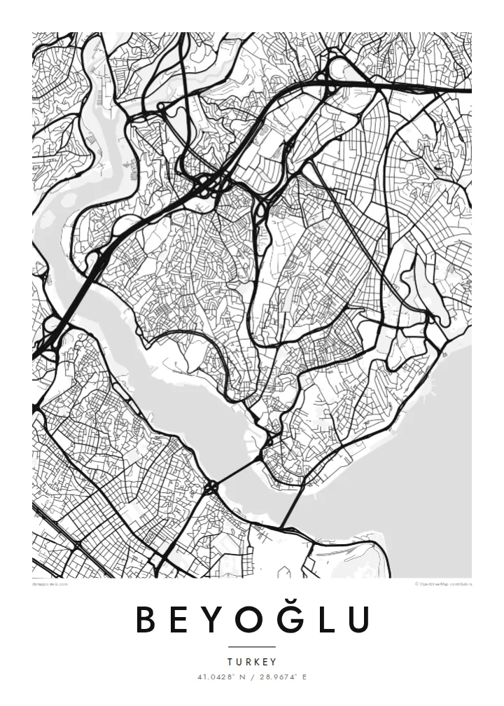
The pedestrian avenue from Taksim to Tünel follows the ridge in a long, slightly curving line. It is the clearest single stroke on the map.
Minimalistički poster mape · Turska
41.0428° N / 28.9674° E
A hilly district above the Golden Horn and Bosphorus, with a pedestrian avenue running along the ridge from Taksim to Galata


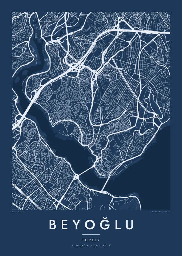

Jedan grad, pet raspoloženja
Dodirnite stil da ga vidite na zidu. Svi stilovi koštaju isto — bilo da su odštampani, uramljeni ili kao HD fajlovi.
 Stvarni pikseli · fajl za štampu 24 × 36″
Oštro za štampu
Ovo je isječak u punoj veličini (100%) stvarnog fajla za štampu. Svaki poster — odštampan, uramljen ili preuzet — renderuje se na našim serverima u rezoluciji 300 DPI, do 7,200 × 10,800 piksela, tako da čak i najsitnije ulice ostaju oštre na otisku 24 × 36″.
Na zidu


Mapa
Beyoğlu covers the high ground north of the Golden Horn, where the land rises steeply from the water to a long ridge. The streets follow that terrain. Short, steep lanes and stairways drop down towards Karaköy and the Bosphorus shore, while the main avenue runs along the top. On the map, the district looks like a spine with ribs.
That spine is İstiklal Avenue, a pedestrian street about a kilometre and a half long. It links Taksim Square at the northern end to Tünel near the Galata Tower. A red heritage tram runs along it. At the southern end, the Tünel funicular, opened in 1875, carries passengers down the slope to Karaköy and is one of the oldest underground railways in the world.
Once known as Pera, the district was home to embassies, merchants and a large non-Muslim population in the late Ottoman period. Many of its apartment buildings and arcades date from that time. A Beyoğlu map poster shows how steep ground, a single strong avenue and two bodies of water shaped one of Istanbul's most distinctive districts.
The pedestrian avenue from Taksim to Tünel follows the ridge in a long, slightly curving line. It is the clearest single stroke on the map.
The medieval stone tower stands on the southern slope above Karaköy. It marks the point where the district begins its descent to the Golden Horn.
Short, steep streets and flights of steps connect the ridge to the waterfront, giving the map a dense, fine-grained texture on its southern and eastern edges.
Učinite ga svojim
Dodajte datum, ime ili vlastiti tekst, promijenite stil, veličinu ili orijentaciju.
Besplatan pregled je niske rezolucije sa vodenim žigom. Štampani posteri i HD fajlovi se renderuju u rezoluciji 300 DPI, do 7,200 × 10,800 px, bez vodenog žiga.
Zašto Beyoğlu
Beyoğlu is where many people lived their Istanbul years, whether as students, new arrivals or night owls. A map of its ridge and slopes holds those streets together more faithfully than any photograph.
Personalise the title and subtitle with a date, an address or a line of your own. Choose one of five styles. Noir suits the district's late evenings, while Paper gives it the look of an old city plan.
Naručite poster Beyoğlu| Veličina printa | Rezolucija | Fajlovi |
|---|---|---|
| 30 × 40 cm (11.8 × 15.7″) | 3,543 × 4,724 px | PNG · PDF |
| 29.7 × 42 cm (A3, 11.7 × 16.5″) | 3,508 × 4,961 px | PNG · PDF |
| 42 × 59.4 cm (A2, 16.5 × 23.4″) | 4,961 × 7,016 px | PNG · PDF |
| 45.7 × 61 cm (18 × 24″) | 5,400 × 7,200 px | PNG · PDF |
| 50 × 70 cm (19.7 × 27.6″) | 5,906 × 8,268 px | PNG · PDF |
| 61 × 91.4 cm (24 × 36″) | 7,200 × 10,800 px | PNG · PDF |
Poređenja radi, besplatni pregled je širok 900 px, ima vodeni žig i namijenjen je ekranima. HD fajlovi imaju do 8× veću rezoluciju u svakom smjeru i čisto se štampaju u punoj veličini postera.
Odaberite stil na vrhu stranice, a zatim izaberite Štampani poster — veličinu i, po želji, ram — ili Digitalne HD fajlove. Plaćanje se obavlja u jednom koraku, a stranica vaše narudžbe se ažurira čim uplata prođe.
Štampa se na premium mat papiru gramature 200 g/m² u jednoj od šest veličina, od 30 × 40 cm do 24 × 36″. Štampani posteri počinju od {printFrom}, dostava uključena.
Da. Odaberite ram od masivnog drveta u crnoj, bijeloj, prirodnoj hrastovoj ili tamnoj boji drveta. Dolazi sa nelomljivim staklom i spreman je za vješanje. Uramljeni posteri počinju od {framedFrom}, dostava uključena.
Dostava je besplatna širom svijeta. Svaki poster štampa najbliži od naših partnera za štampu u više od 30 zemalja, a obično stiže za 3–7 radnih dana. Status i praćenje pošiljke možete pratiti u odjeljku Moje narudžbe.
Pošaljite nam fotografiju u roku od 14 dana od dostave i besplatno ćemo ga ponovo odštampati ili vam vratiti novac.
Da. U editoru na ovoj stranici možete promijeniti naslov, podnaslov i red sa koordinatama po želji, te odabrati stil i veličinu. Štampane, uramljene i digitalne narudžbe koriste tačno vaš dizajn.
Za $9 dobijate PNG fajlove u rezoluciji 300 DPI i PDF fajlove spremne za štampu u svih šest veličina, bez vodenog žiga, koje možete odštampati bilo gdje. Niste još sigurni? Prvo preuzmite besplatan pregled sa vodenim žigom.
U blizini
