Tórshavn and Tinganes
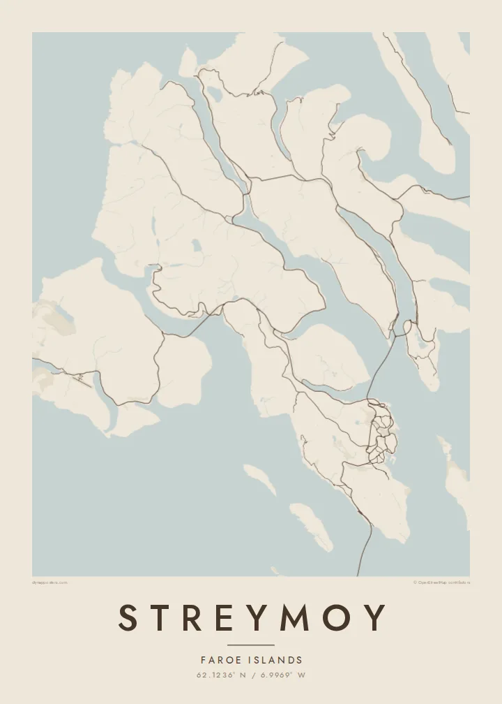
The capital's streets fan out from the harbour, with the rocky Tinganes peninsula at its centre. It is the densest cluster of lines anywhere in the Faroes.
Póster de mapa minimalista · Islas Feroe
62.1236° N / 6.9969° W
The largest Faroe island, a long mountain spine notched by fjords, with Tórshavn tucked into its southeastern shore.


Una ciudad, cinco ambientes
Toca un estilo para verlo en la pared. Todos los estilos cuestan lo mismo: impreso, enmarcado o en archivos HD.
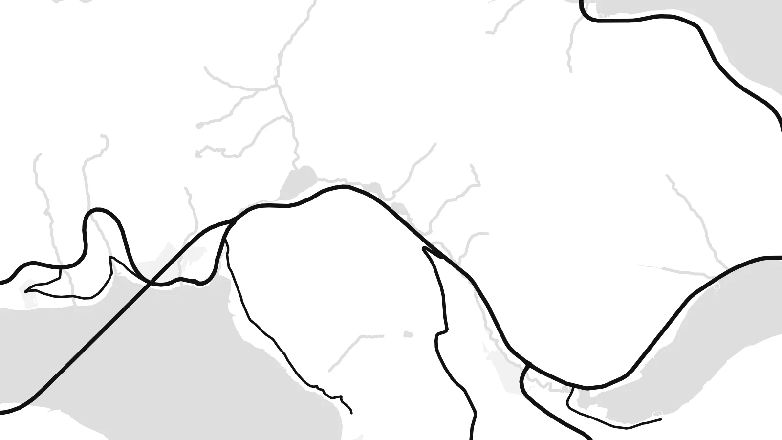 Píxeles reales · archivo de impresión de 24 × 36″
Nitidez de impresión
Este es un recorte al 100% del archivo de impresión real. Cada póster —impreso, enmarcado o descargado— se renderiza en nuestros servidores a 300 DPI, hasta 7,200 × 10,800 píxeles, para que hasta las calles más pequeñas se vean nítidas en una impresión de 24 × 36″.
En la pared


El mapa
Streymoy is the largest and most populous of the Faroe Islands, a long island running northwest to southeast between Vágar and Eysturoy. From above it looks like a mountain spine with steep flanks, the coast notched by fjords and the interior crossed by only a handful of roads. Villages sit on narrow shelves of flat ground where valleys meet the sea.
Tórshavn, the capital, occupies the southeastern coast, its streets climbing from the harbour and the small Tinganes peninsula, where the Faroese government sits among turf-roofed buildings. To the south, Kirkjubøur holds the medieval ruins of the Magnus Cathedral. On the north coast, Saksun sits above a tidal lagoon that fills and drains with the sea.
Streymoy is tied to its neighbours by a short bridge across the sound to Eysturoy and by tunnels running beneath the sea, so most journeys in the archipelago pass through it. A Streymoy map poster shows how these links pull the island into the centre of the Faroes, with Tórshavn as its densest point and long empty ridges stretching north.
The capital's streets fan out from the harbour, with the rocky Tinganes peninsula at its centre. It is the densest cluster of lines anywhere in the Faroes.
A narrow channel separates Streymoy from Eysturoy, spanned by a short bridge. On the map it reads almost like a river, the thinnest gap between two islands.
In the north, a small tidal lagoon opens to the sea through a narrow channel below the village of Saksun, a delicate shape on an otherwise steep coastline.
Hazlo tuyo
Añade una fecha, un nombre o una frase propia, y cambia el estilo, el tamaño o la orientación.
La vista previa gratuita es de baja resolución y con marca de agua. Las impresiones y los archivos HD se renderizan a 300 DPI, hasta 7,200 × 10,800 px, sin marca de agua.
Por qué Streymoy
For Faroese families and anyone who has lived in Tórshavn, Streymoy is home ground. For visitors it is where most journeys start and end. The island's long outline and cut coast make a strong, graphic poster.
Use the title for a village or street name, the subtitle for a date, and the coordinates line for a precise spot. Choose one of five styles, Classic black & white, Noir, Paper, Blueprint or Sand, as a $9 HD file or a printed poster.
Pedir el póster Streymoy| Tamaño de impresión | Resolución | Archivos |
|---|---|---|
| 30 × 40 cm11.8 × 15.7″ | 3,543 × 4,724 px | PNG · PDF |
| 29.7 × 42 cm (A3)11.7 × 16.5″ | 3,508 × 4,961 px | PNG · PDF |
| 42 × 59.4 cm (A2)16.5 × 23.4″ | 4,961 × 7,016 px | PNG · PDF |
| 45.7 × 61 cm18 × 24″ | 5,400 × 7,200 px | PNG · PDF |
| 50 × 70 cm19.7 × 27.6″ | 5,906 × 8,268 px | PNG · PDF |
| 61 × 91.4 cm24 × 36″ | 7,200 × 10,800 px | PNG · PDF |
Como referencia, la vista previa gratuita mide 900 px de ancho, lleva marca de agua y está pensada para pantallas. Los archivos HD tienen hasta 8 veces más resolución en cada dirección y se imprimen con total nitidez a tamaño póster.
Elige un estilo arriba de la página y luego selecciona Póster Impreso —un tamaño y, si quieres, un marco— o Archivos Digitales HD. El pago se hace en un solo paso, y tu página de pedido se actualiza en cuanto se confirma el pago.
Se imprime en papel mate premium de 200 g/m² en uno de seis tamaños, desde 30 × 40 cm hasta 24 × 36″. Los pósters impresos cuestan desde $39, envío incluido.
Sí. Elige un marco de madera maciza en negro, blanco, roble natural o madera oscura. Incluye vidrio irrompible y llega listo para colgar. Los pósters enmarcados cuestan desde $99, envío incluido.
El envío es gratis a más de 60 países. Cada póster lo imprime el socio de impresión más cercano de nuestra red en más de 30 países y suele llegar en 3–7 días hábiles. Puedes seguir el estado y el seguimiento en Mis pedidos. Algunos países tardan de 2 a 5 semanas y, si aún no enviamos a tu país, la web te lo indica antes de pagar.
Envíanos una foto dentro de los 14 días posteriores a la entrega y te lo reimprimimos gratis o te devolvemos el dinero.
Sí. En el editor de esta página, cambia el título, el subtítulo y la línea de coordenadas por lo que quieras, y elige un estilo y un tamaño. Los pedidos impresos, enmarcados y digitales usan exactamente tu diseño.
Por $9 obtienes archivos PNG a 300 DPI y PDF listos para imprimir en los seis tamaños, sin marca de agua, para imprimir donde quieras. ¿Aún no estás seguro? Descarga primero una vista previa gratis con marca de agua.
Cerca
