Luganville waterfront
The town stretches along the Segond Channel, with wide streets laid out in wartime. It is the densest cluster on the map and the natural focus for a close crop.
Minimalist map poster · Vanuatu
15.1563° S / 166.9007° E
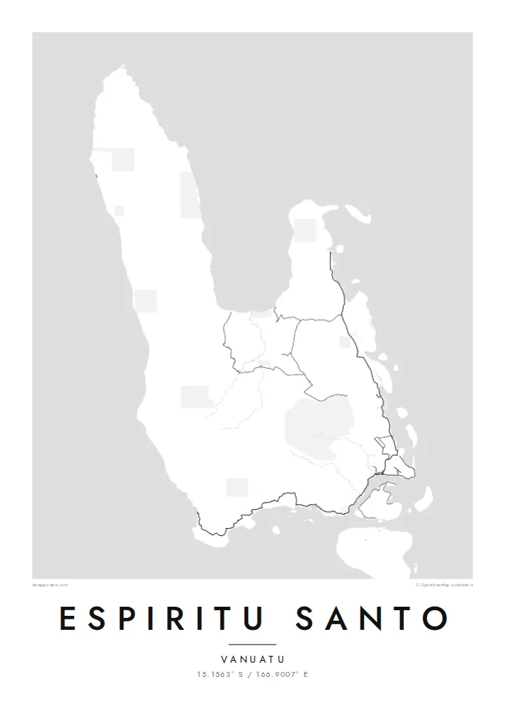
Vanuatu's largest island, with a wall of mountains in the west and a lower, reef-edged east where the roads run.


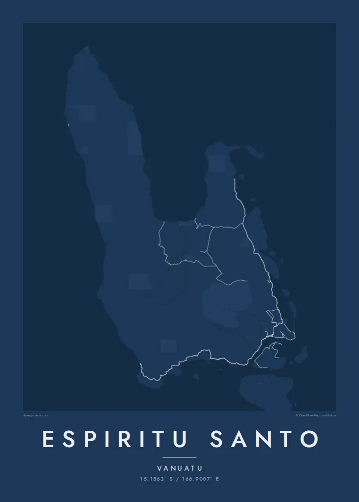

One city, five moods
Ekamowa emwit style ouga bwe ouga ekamowa e dedaña ñan bwega. Style otata a kor eangan — eprint, eframe ke HD files.
 Pixel ekwan · 24 × 36″ print file
Print-sharp
Enin 100% crop eo mai print file eo elango. Poster otata — eprint, eframe ke edownload — erender iaan server bwir e 300 DPI, dedaña ñan 7,200 × 10,800 pixels, bwe lane ekekedik ekwan ebwe crisp iaan print 24 × 36″.
Ituro


The map
Espiritu Santo is the largest island in Vanuatu, and its map is lopsided in an interesting way. The western side is a high range that includes Mount Tabwemasana, the country's highest peak, with deep valleys and almost no roads. The east is lower and gentler, crossed by rivers and scattered with small islands, and almost all of the island's roads are here.
Luganville, the second town of Vanuatu, sits on the south coast facing the Segond Channel. Its straight streets and long waterfront date mostly from the Second World War, when the United States built a major base here. An Espiritu Santo map poster picks up that grid, the coastal road heading north up the east side, and a shoreline that breaks into islets and passages.
The island's name comes from the navigator Pedro Fernandes de Queirós, who arrived in 1606 believing he had found the great southern continent. Off Luganville lies the wreck of the SS President Coolidge, a troopship sunk by mines in 1942 and now one of the best-known wreck dives in the world. Inland, freshwater blue holes dot the eastern lowlands.
The town stretches along the Segond Channel, with wide streets laid out in wartime. It is the densest cluster on the map and the natural focus for a close crop.
Steep mountains, including Mount Tabwemasana at almost 1,900 metres, fill the western half of the island. Their contours give the print strong texture where there are no roads.
The east coast breaks into small offshore islands, sheltered passages and white-sand bays such as Champagne Beach near Hog Harbour. This broken outline contrasts with the solid western shore.
Make it yours
Add a date, a name or a line of your own, switch style, size or orientation.
Preview ededa low-resolution im watermark. Print im HD files erender iaan 300 DPI, dedaña ñan 7,200 × 10,800 px, ededa watermark.
Why Espiritu Santo
Espiritu Santo means something to divers who have explored the Coolidge, to families with roots in its villages, and to descendants of those stationed there during the war. The empty western mountains against the busier east give the composition real weight.
Personalise the title, subtitle and coordinates line to mark a dive, a posting or a homecoming. Then choose Classic black & white, Noir, Paper, Blueprint or Sand. The $9 download includes six print sizes, each as a 300 DPI PNG and a print-ready PDF.
Oder poster Espiritu Santo| Print size | Resolution | Files |
|---|---|---|
| 30 × 40 cm11.8 × 15.7″ | 3,543 × 4,724 px | PNG · PDF |
| 29.7 × 42 cm (A3)11.7 × 16.5″ | 3,508 × 4,961 px | PNG · PDF |
| 42 × 59.4 cm (A2)16.5 × 23.4″ | 4,961 × 7,016 px | PNG · PDF |
| 45.7 × 61 cm18 × 24″ | 5,400 × 7,200 px | PNG · PDF |
| 50 × 70 cm19.7 × 27.6″ | 5,906 × 8,268 px | PNG · PDF |
| 61 × 91.4 cm24 × 36″ | 7,200 × 10,800 px | PNG · PDF |
For comparison, the free preview is 900 px wide, watermarked and meant for screens. The HD files have up to 8× the resolution in each direction and print cleanly at full poster size.
Emwit style iaan capña page, im dogen Printed Poster — size eo, im framme ouga tomwin — ke Digital HD Files. Checkout eaer sit step, im order page bwira eupdate iaan payment eo emej.
Eprint iaan matte paper 200 gsm, iaan size eo eo, mai 30 × 40 cm ñan 24 × 36″. Poster eprint eo emeja iaan $39, shipping ededo.
Eko. Emwit frame wood solid iaan black, white, oak natural ke wood dark. Etaña shatterproof glazing im ready ñan hang. Poster eframe emeja iaan $99, shipping ededo.
Shipping ma free ägen 60+ country. Poster ngaga eo e print ägen print partner nearest ibiema 30+ country, ae e tep ägen 3–7 business day. Ngaga kor status ae tracking ibe My Orders. Country ibiema e tep 2–5 week, ae country ngaga ibe shipping e bwaren, website e ibin oen bwa ngaga pay.
Kabun photo bwira iaan 14 aean mai delivery, im bwira ereprint ededo ke erefund.
Eko. Iaan editor page eanin, ouga change title, subtitle, im coordinates line ñan tomwin ouga koda, im emwit style im size. Order eprint, eframe im digital otata ekamowa design ouga tomwin.
Iaan $9 ouga ereub 300 DPI PNG im PDF print-ready iaan size otata eo, ededa watermark, ñan print ekamowa tomwin. Ouga aewedik? Download preview ededa watermarked kabun.
