The Kame
A towering cliff on the west coast, among the highest in Britain, where the land drops almost vertically to the sea. On the map the contour lines crowd together sharply.
Minimalist map poster · United Kingdom
60.1338° N / 2.0779° W
A small, high Shetland island rising to great western cliffs, with its few crofts spread along the eastern side.



One city, five moods
Ekamowa emwit style ouga bwe ouga ekamowa e dedaña ñan bwega. Style otata a kor eangan — eprint, eframe ke HD files.
 Pixel ekwan · 24 × 36″ print file
Print-sharp
Enin 100% crop eo mai print file eo elango. Poster otata — eprint, eframe ke edownload — erender iaan server bwir e 300 DPI, dedaña ñan 7,200 × 10,800 pixels, bwe lane ekekedik ekwan ebwe crisp iaan print 24 × 36″.
Ituro


The map
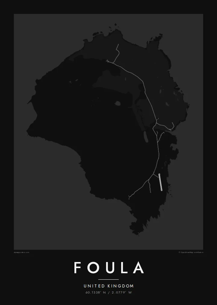
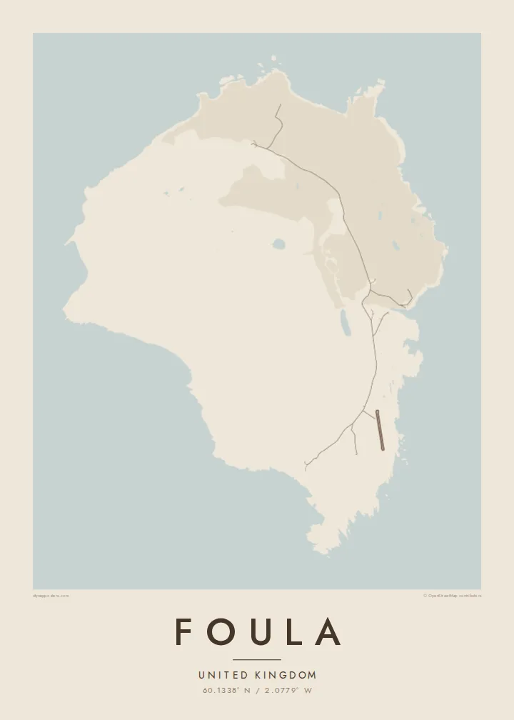
Foula lies well west of mainland Shetland and is one of the most remote inhabited islands in Britain. On a map it is a compact, rounded block of land, but the relief tells the real story. High hills rise steeply toward the west and end in sheer sea cliffs. The eastern side slopes gently down to the shore, where the crofts and the small harbour are.
The Kame, on the west coast, is among the highest sea cliffs in the United Kingdom. The hills and moorland hold large seabird colonies, including great skuas. Foula also keeps an old custom: the community still follows the Julian calendar for its festive season and celebrates Christmas in early January.
Only a few dozen people live here, and the island is reached by a small ferry or light aircraft when the weather allows. A Foula map poster shows a place where human lines are few and faint. There is a single road along the east, and height, wind and the Atlantic shape almost everything else.
A towering cliff on the west coast, among the highest in Britain, where the land drops almost vertically to the sea. On the map the contour lines crowd together sharply.
The island's homes and fields are spread along the gentler east side. A single road links them and makes up nearly all of the map's human detail.
Several steep hills fill the heart of the island. They give the map strong relief and a sense of height that is unusual for such a small place.
Make it yours
Add a date, a name or a line of your own, switch style, size or orientation.
Preview ededa low-resolution im watermark. Print im HD files erender iaan 300 DPI, dedaña ñan 7,200 × 10,800 px, ededa watermark.
Why Foula
Foula draws people who love the far edges of the British Isles: birdwatchers, walkers and those with Shetland roots. Its high, lonely form gives the print real presence, even at the smallest size.
Personalise the title and subtitle with a name, a crossing date or a line of verse, keep the coordinates, and choose one of five styles. Order a matte poster, framed or unframed, or download the full set of HD files.
Oder poster Foula| Print size | Resolution | Files |
|---|---|---|
| 30 × 40 cm11.8 × 15.7″ | 3,543 × 4,724 px | PNG · PDF |
| 29.7 × 42 cm (A3)11.7 × 16.5″ | 3,508 × 4,961 px | PNG · PDF |
| 42 × 59.4 cm (A2)16.5 × 23.4″ | 4,961 × 7,016 px | PNG · PDF |
| 45.7 × 61 cm18 × 24″ | 5,400 × 7,200 px | PNG · PDF |
| 50 × 70 cm19.7 × 27.6″ | 5,906 × 8,268 px | PNG · PDF |
| 61 × 91.4 cm24 × 36″ | 7,200 × 10,800 px | PNG · PDF |
For comparison, the free preview is 900 px wide, watermarked and meant for screens. The HD files have up to 8× the resolution in each direction and print cleanly at full poster size.
Emwit style iaan capña page, im dogen Printed Poster — size eo, im framme ouga tomwin — ke Digital HD Files. Checkout eaer sit step, im order page bwira eupdate iaan payment eo emej.
Eprint iaan matte paper 200 gsm, iaan size eo eo, mai 30 × 40 cm ñan 24 × 36″. Poster eprint eo emeja iaan $39, shipping ededo.
Eko. Emwit frame wood solid iaan black, white, oak natural ke wood dark. Etaña shatterproof glazing im ready ñan hang. Poster eframe emeja iaan $99, shipping ededo.
Shipping ma free ägen 60+ country. Poster ngaga eo e print ägen print partner nearest ibiema 30+ country, ae e tep ägen 3–7 business day. Ngaga kor status ae tracking ibe My Orders. Country ibiema e tep 2–5 week, ae country ngaga ibe shipping e bwaren, website e ibin oen bwa ngaga pay.
Kabun photo bwira iaan 14 aean mai delivery, im bwira ereprint ededo ke erefund.
Eko. Iaan editor page eanin, ouga change title, subtitle, im coordinates line ñan tomwin ouga koda, im emwit style im size. Order eprint, eframe im digital otata ekamowa design ouga tomwin.
Iaan $9 ouga ereub 300 DPI PNG im PDF print-ready iaan size otata eo, ededa watermark, ñan print ekamowa tomwin. Ouga aewedik? Download preview ededa watermarked kabun.
