Mavis Grind
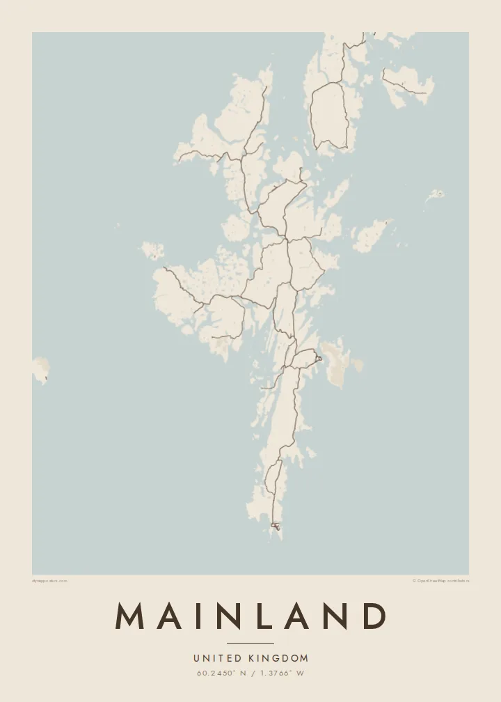
At this narrow isthmus, the waters of the North Sea and the Atlantic nearly meet. It is the thinnest point of the island, and on the map the coastline almost touches.
Minimalist map poster · United Kingdom
60.2450° N / 1.3766° W
The largest Shetland island, a long, ragged spine of land so cut by voes that the sea is never far away


One city, five moods
Ekamowa emwit style ouga bwe ouga ekamowa e dedaña ñan bwega. Style otata a kor eangan — eprint, eframe ke HD files.
 Pixel ekwan · 24 × 36″ print file
Print-sharp
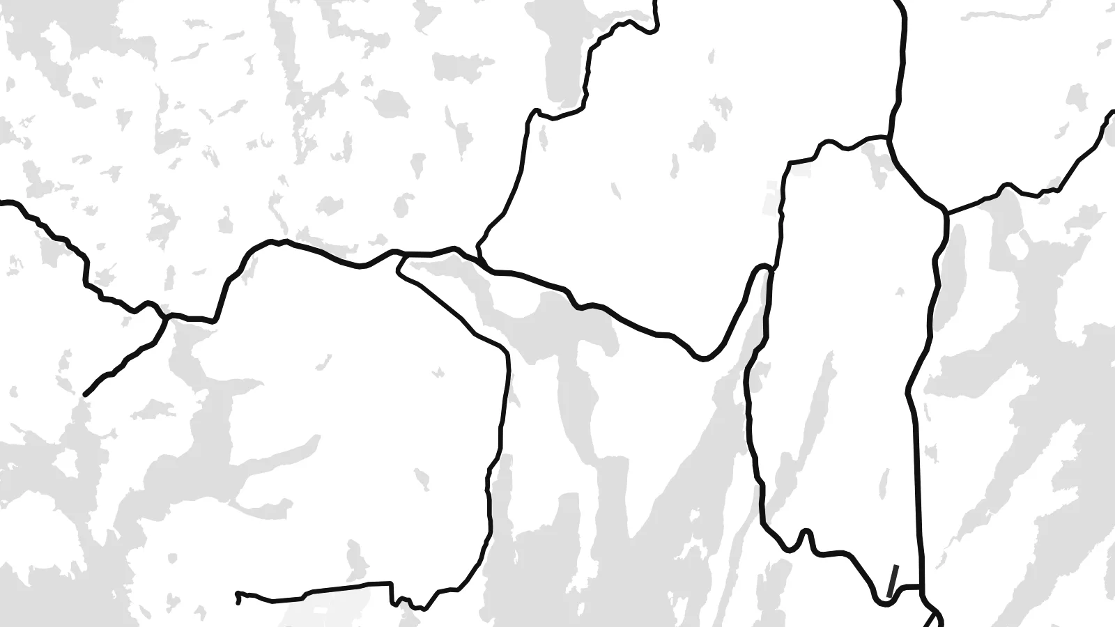
Enin 100% crop eo mai print file eo elango. Poster otata — eprint, eframe ke edownload — erender iaan server bwir e 300 DPI, dedaña ñan 7,200 × 10,800 pixels, bwe lane ekekedik ekwan ebwe crisp iaan print 24 × 36″.
Ituro


The map
Shetland's Mainland is long and narrow, running north to south, and its coastline is extraordinarily indented. Long inlets called voes cut deep into it from both sides, so the island often seems to be made of several peninsulas held together by thin necks of land. Main roads follow these narrow strips and join scattered crofting settlements, bays and harbours from Sumburgh in the south to the northern headlands.
Lerwick, the capital of Shetland, lies on the east coast facing Bressay. Each winter it hosts the Up Helly Aa fire festival. At Mavis Grind, the land narrows so much that the North Sea and the Atlantic are separated by only a short strip of ground. Near the southern tip, the settlement site at Jarlshof shows thousands of years of continuous occupation.
A Mainland map poster is a study in coastline. Voes, sounds and islands intertwine, and the outline is almost as long as a much larger landmass. Lerwick's harbour streets form the densest cluster. The rest is a pattern of roads, lochs and bays that makes Shetland's geography unusually clear.
At this narrow isthmus, the waters of the North Sea and the Atlantic nearly meet. It is the thinnest point of the island, and on the map the coastline almost touches.
Shetland's capital stretches along its sheltered harbour on the east coast, facing the island of Bressay. It has the densest street pattern on the island.
Long, fjord-like inlets cut into the island from both sides. They break it into peninsulas and give the poster its intricate, branching outline.
Make it yours
Add a date, a name or a line of your own, switch style, size or orientation.
Preview ededa low-resolution im watermark. Print im HD files erender iaan 300 DPI, dedaña ñan 7,200 × 10,800 px, ededa watermark.
Why Mainland
Shetlanders living elsewhere, and visitors who came for the birds, the light and Up Helly Aa, find in this outline a very recognisable image of home or of a journey. The ragged coast looks especially striking in Noir, with the land picked out in light lines.
Add your own title and subtitle, a family name or the date of a crossing, and choose from Classic black & white, Noir, Paper, Blueprint or Sand. Download the HD files for $9 or order a matte print with an optional frame.
Oder poster Mainland| Print size | Resolution | Files |
|---|---|---|
| 30 × 40 cm11.8 × 15.7″ | 3,543 × 4,724 px | PNG · PDF |
| 29.7 × 42 cm (A3)11.7 × 16.5″ | 3,508 × 4,961 px | PNG · PDF |
| 42 × 59.4 cm (A2)16.5 × 23.4″ | 4,961 × 7,016 px | PNG · PDF |
| 45.7 × 61 cm18 × 24″ | 5,400 × 7,200 px | PNG · PDF |
| 50 × 70 cm19.7 × 27.6″ | 5,906 × 8,268 px | PNG · PDF |
| 61 × 91.4 cm24 × 36″ | 7,200 × 10,800 px | PNG · PDF |
For comparison, the free preview is 900 px wide, watermarked and meant for screens. The HD files have up to 8× the resolution in each direction and print cleanly at full poster size.
Emwit style iaan capña page, im dogen Printed Poster — size eo, im framme ouga tomwin — ke Digital HD Files. Checkout eaer sit step, im order page bwira eupdate iaan payment eo emej.
Eprint iaan matte paper 200 gsm, iaan size eo eo, mai 30 × 40 cm ñan 24 × 36″. Poster eprint eo emeja iaan $39, shipping ededo.
Eko. Emwit frame wood solid iaan black, white, oak natural ke wood dark. Etaña shatterproof glazing im ready ñan hang. Poster eframe emeja iaan $99, shipping ededo.
Shipping ma free ägen 60+ country. Poster ngaga eo e print ägen print partner nearest ibiema 30+ country, ae e tep ägen 3–7 business day. Ngaga kor status ae tracking ibe My Orders. Country ibiema e tep 2–5 week, ae country ngaga ibe shipping e bwaren, website e ibin oen bwa ngaga pay.
Kabun photo bwira iaan 14 aean mai delivery, im bwira ereprint ededo ke erefund.
Eko. Iaan editor page eanin, ouga change title, subtitle, im coordinates line ñan tomwin ouga koda, im emwit style im size. Order eprint, eframe im digital otata ekamowa design ouga tomwin.
Iaan $9 ouga ereub 300 DPI PNG im PDF print-ready iaan size otata eo, ededa watermark, ñan print ekamowa tomwin. Ouga aewedik? Download preview ededa watermarked kabun.
