Shared urban area
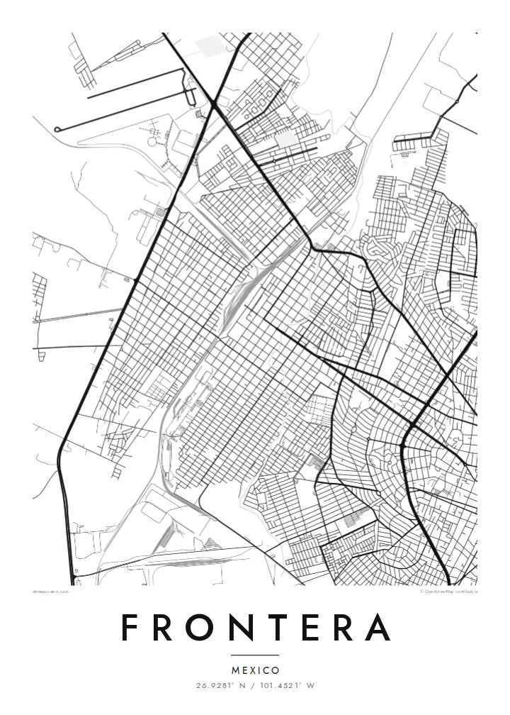
Frontera and Monclova have grown together into one continuous built-up area. On the map, the grid runs from one to the other without a visible break, so the two read as one city.
Minimalist map poster · Mexico
26.9281° N / 101.4521° W
A desert-plain city grown into its neighbour Monclova, with river channels, rail lines and industrial blocks framed by bare sierras.
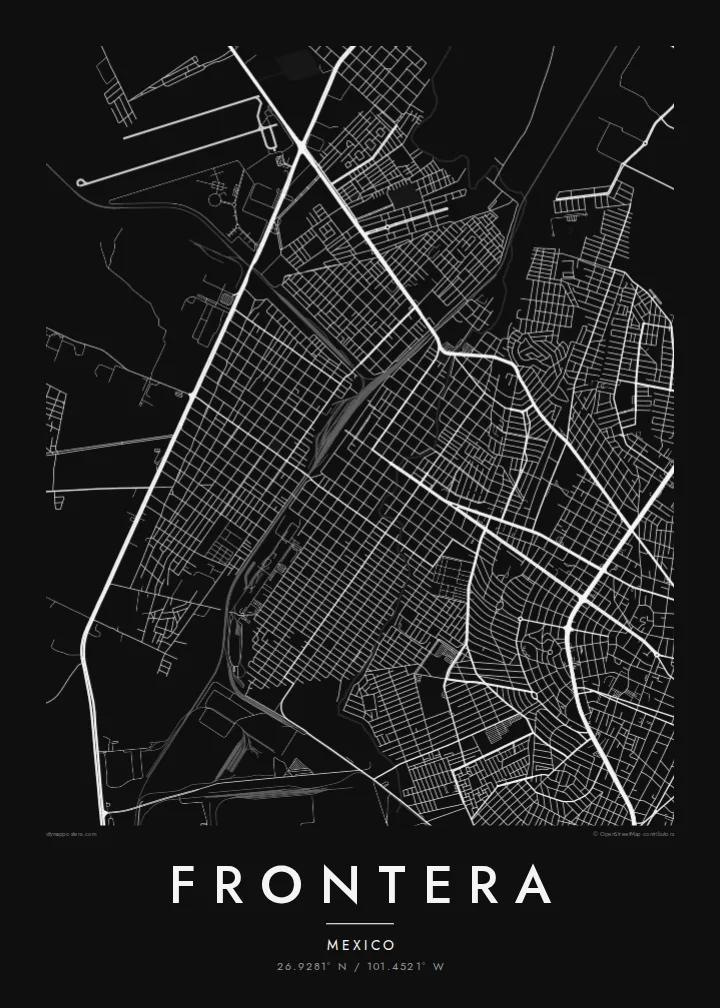


One city, five moods
Ekamowa emwit style ouga bwe ouga ekamowa e dedaña ñan bwega. Style otata a kor eangan — eprint, eframe ke HD files.
 Pixel ekwan · 24 × 36″ print file
Print-sharp
Enin 100% crop eo mai print file eo elango. Poster otata — eprint, eframe ke edownload — erender iaan server bwir e 300 DPI, dedaña ñan 7,200 × 10,800 pixels, bwe lane ekekedik ekwan ebwe crisp iaan print 24 × 36″.
Ituro


The map
Frontera sits on a broad, dry plain in central Coahuila, and from above it is hard to tell where it ends and Monclova begins. The two grew into one urban area, so the street grid runs straight across the municipal line. Long, straight avenues cut across smaller residential blocks. Pale mountain ridges rise on the horizon on almost every side.
Much of the map is shaped by work. Rail spurs, large industrial lots and wide roads for heavy traffic tie Frontera to the steel industry that defined the Monclova region in the twentieth century. Between them sit tight neighbourhoods of small parcels. On paper they look like fine texture set against the big, simple shapes of the plants and yards.
A Frontera map poster keeps this contrast clean: dense housing, large industrial footprints and the thin lines of the local watercourses, drawn in one weight of ink. Because the river channels are dry for much of the year, the city's shape comes mainly from roads and rails. That gives the poster a structured, almost diagrammatic look.
Frontera and Monclova have grown together into one continuous built-up area. On the map, the grid runs from one to the other without a visible break, so the two read as one city.
Large rectangular lots and rail spurs show the region's steel-making past. They form wide, calm shapes that sit apart from the fine grain of the residential streets around them.
Around the city, the lines thin out quickly into open ground. That emptiness is typical of Coahuila's dry plains, and it gives the street network a clear, sharp edge.
Make it yours
Add a date, a name or a line of your own, switch style, size or orientation.
Preview ededa low-resolution im watermark. Print im HD files erender iaan 300 DPI, dedaña ñan 7,200 × 10,800 px, ededa watermark.
Why Frontera
For people from Frontera, this map shows home at the scale people actually live it: the avenue to work, the neighbourhood block, the edge where the city gives way to open land. It also suits anyone whose family history runs through northern Mexico's industrial towns.
You can set your own title, subtitle and coordinates line, for example a family name or a year you moved. Then pick Classic black & white, Noir, Paper, Blueprint or Sand. Blueprint suits the city's industrial geometry especially well.
Oder poster Frontera| Print size | Resolution | Files |
|---|---|---|
| 30 × 40 cm (11.8 × 15.7″) | 3,543 × 4,724 px | PNG · PDF |
| 29.7 × 42 cm (A3, 11.7 × 16.5″) | 3,508 × 4,961 px | PNG · PDF |
| 42 × 59.4 cm (A2, 16.5 × 23.4″) | 4,961 × 7,016 px | PNG · PDF |
| 45.7 × 61 cm (18 × 24″) | 5,400 × 7,200 px | PNG · PDF |
| 50 × 70 cm (19.7 × 27.6″) | 5,906 × 8,268 px | PNG · PDF |
| 61 × 91.4 cm (24 × 36″) | 7,200 × 10,800 px | PNG · PDF |
For comparison, the free preview is 900 px wide, watermarked and meant for screens. The HD files have up to 8× the resolution in each direction and print cleanly at full poster size.
Emwit style iaan capña page, im dogen Printed Poster — size eo, im framme ouga tomwin — ke Digital HD Files. Checkout eaer sit step, im order page bwira eupdate iaan payment eo emej.
Eprint iaan matte paper 200 gsm, iaan size eo eo, mai 30 × 40 cm ñan 24 × 36″. Poster eprint eo emeja iaan {printFrom}, shipping ededo.
Eko. Emwit frame wood solid iaan black, white, oak natural ke wood dark. Etaña shatterproof glazing im ready ñan hang. Poster eframe emeja iaan {framedFrom}, shipping ededo.
Eaeoen e ngaaba ngeni ouwa age ngaabe. Ngaeo poster e ibiyaneo ibon e print partner eg ibom ngaen ingi ngae 30+ eben, e naeo e yan ngaae e 3–7 aon wan ewa. Kom ngaa e eain ingi tracking ibon My Orders. Tauweo ebe 2–5 wik, ingi ibon ngaen ibun e ngaeo ngaeigie, e saet e sooe nuwe kom e pae.
Kabun photo bwira iaan 14 aean mai delivery, im bwira ereprint ededo ke erefund.
Eko. Iaan editor page eanin, ouga change title, subtitle, im coordinates line ñan tomwin ouga koda, im emwit style im size. Order eprint, eframe im digital otata ekamowa design ouga tomwin.
Iaan $9 ouga ereub 300 DPI PNG im PDF print-ready iaan size otata eo, ededa watermark, ñan print ekamowa tomwin. Ouga aewedik? Download preview ededa watermarked kabun.
Nearby
