Third Mainland Bridge
A long, gently curving line across the lagoon from the mainland to Lagos Island. On the poster it is one of the most striking single strokes, crossing open water with nothing on either side.
Minimalist map poster · Nigeria
6.4541° N / 3.3947° E
Islands, lagoons and long bridges where the city meets the Atlantic along a straight sandy coastline
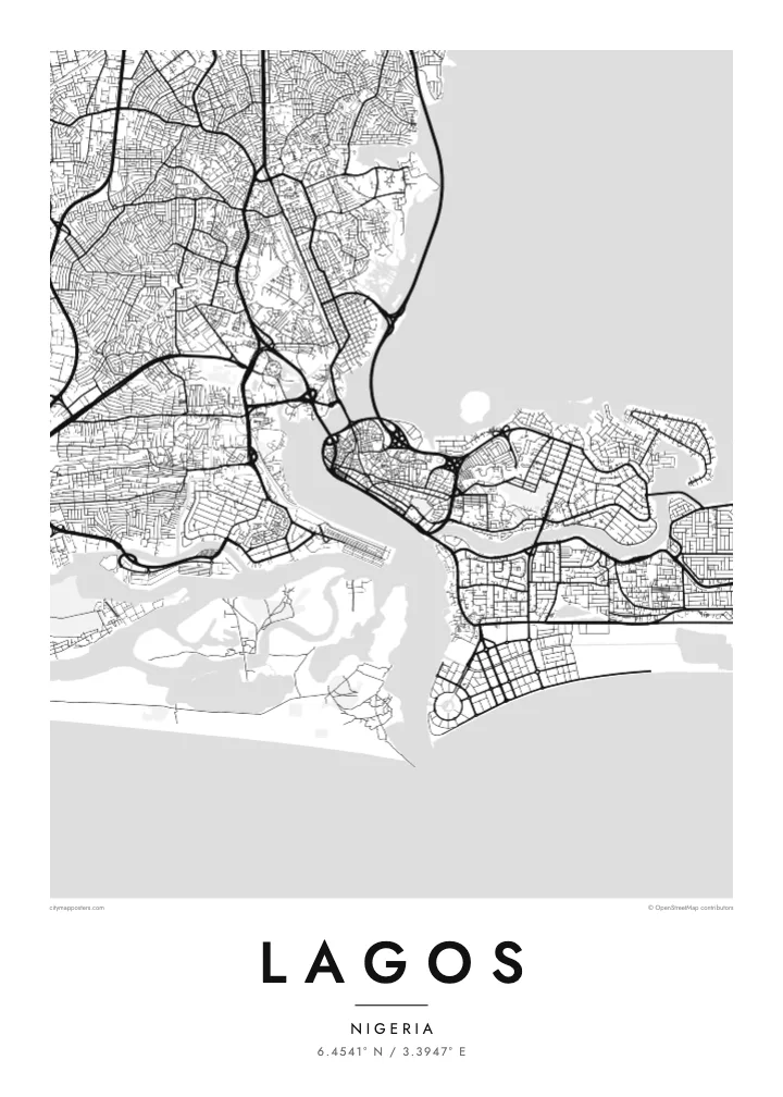
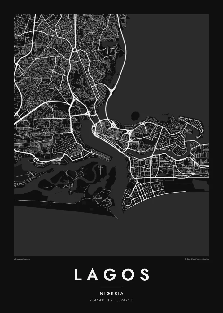
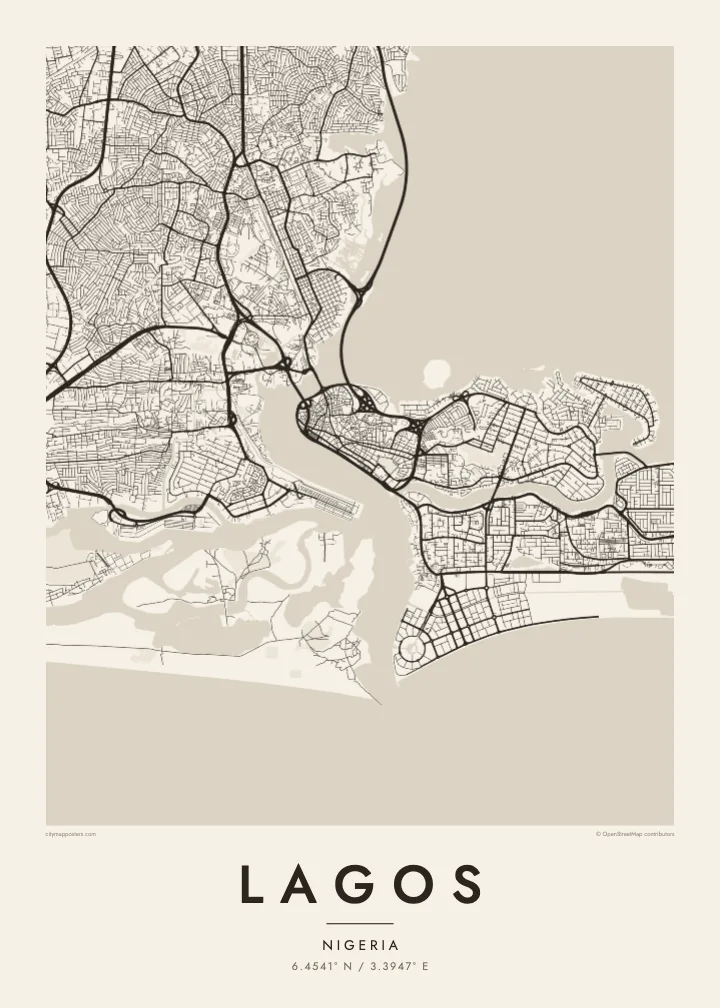

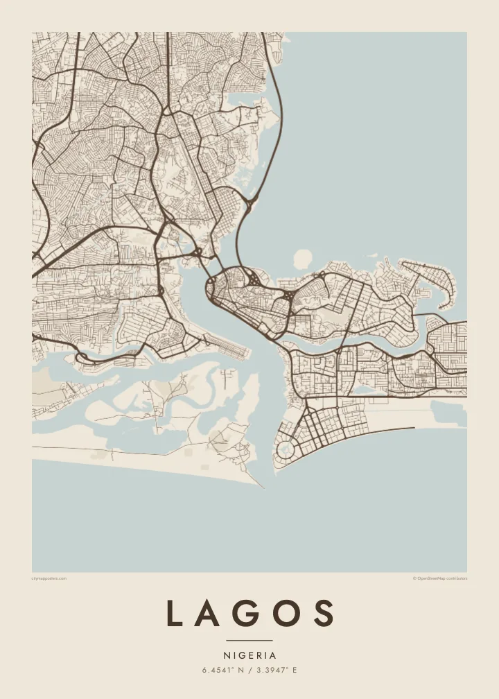
One city, five moods
Ekamowa emwit style ouga bwe ouga ekamowa e dedaña ñan bwega. Style otata a kor eangan — eprint, eframe ke HD files.
 Pixel ekwan · 24 × 36″ print file
Print-sharp
Enin 100% crop eo mai print file eo elango. Poster otata — eprint, eframe ke edownload — erender iaan server bwir e 300 DPI, dedaña ñan 7,200 × 10,800 pixels, bwe lane ekekedik ekwan ebwe crisp iaan print 24 × 36″.
Ituro


The map
Lagos is a city built across water. The Lagos Lagoon spreads to the north and east, a narrow channel links it to the Atlantic, and the urban area is divided between the mainland and a group of islands: Lagos Island, Ikoyi and Victoria Island. East of them, the Lekki peninsula runs along the coast for many kilometres, pressed between the lagoon on one side and the ocean on the other.
Three main bridges connect the islands to the mainland: the Carter Bridge, the Eko Bridge and the Third Mainland Bridge, which runs for about 11.8 kilometres across the lagoon and is often listed among the longest bridges in Africa. The mainland spreads outward in a dense network of districts such as Yaba, Surulere and Ikeja, while the ocean coastline to the south is almost perfectly straight.
Lagos was Nigeria’s capital until 1991, when the seat of government moved to Abuja, and it remains the country’s commercial centre. Along the Atlantic edge of Victoria Island, Eko Atlantic is being built on land reclaimed from the sea. A Lagos map poster captures a coastline and a lagoon that are still being redrawn.
A long, gently curving line across the lagoon from the mainland to Lagos Island. On the poster it is one of the most striking single strokes, crossing open water with nothing on either side.
The old core of the city occupies these islands, with tight streets on Lagos Island and a looser layout in Ikoyi, separated by a narrow creek and surrounded by lagoon water.
A long strip of land running east along the coast, laid out with estates and roads between the lagoon and the Atlantic, giving the frame a strong horizontal line.
Make it yours
Add a date, a name or a line of your own, switch style, size or orientation.
Preview ededa low-resolution im watermark. Print im HD files erender iaan 300 DPI, dedaña ñan 7,200 × 10,800 px, ededa watermark.
Why Lagos
People hang Lagos for the city they grew up in, the one they return to for holidays or the one where they built a career. The water and bridges give it a shape that anyone who has crossed the lagoon will recognise at once.
Put your area, your surname or a date in the title and subtitle, and edit the coordinates line to mark a precise spot. Choose from five styles, Classic black & white, Noir, Paper, Blueprint and Sand, and download HD files for $9 or order a printed poster.
Oder poster Lagos| Print size | Resolution | Files |
|---|---|---|
| 30 × 40 cm (11.8 × 15.7″) | 3,543 × 4,724 px | PNG · PDF |
| 29.7 × 42 cm (A3, 11.7 × 16.5″) | 3,508 × 4,961 px | PNG · PDF |
| 42 × 59.4 cm (A2, 16.5 × 23.4″) | 4,961 × 7,016 px | PNG · PDF |
| 45.7 × 61 cm (18 × 24″) | 5,400 × 7,200 px | PNG · PDF |
| 50 × 70 cm (19.7 × 27.6″) | 5,906 × 8,268 px | PNG · PDF |
| 61 × 91.4 cm (24 × 36″) | 7,200 × 10,800 px | PNG · PDF |
For comparison, the free preview is 900 px wide, watermarked and meant for screens. The HD files have up to 8× the resolution in each direction and print cleanly at full poster size.
Emwit style iaan capña page, im dogen Printed Poster — size eo, im framme ouga tomwin — ke Digital HD Files. Checkout eaer sit step, im order page bwira eupdate iaan payment eo emej.
Eprint iaan matte paper 200 gsm, iaan size eo eo, mai 30 × 40 cm ñan 24 × 36″. Poster eprint eo emeja iaan $39, shipping ededo.
Eko. Emwit frame wood solid iaan black, white, oak natural ke wood dark. Etaña shatterproof glazing im ready ñan hang. Poster eframe emeja iaan $99, shipping ededo.
Eaeoen e ngaaba ngeni ouwa age ngaabe. Ngaeo poster e ibiyaneo ibon e print partner eg ibom ngaen ingi ngae 30+ eben, e naeo e yan ngaae e 3–7 aon wan ewa. Kom ngaa e eain ingi tracking ibon My Orders. Tauweo ebe 2–5 wik, ingi ibon ngaen ibun e ngaeo ngaeigie, e saet e sooe nuwe kom e pae.
Kabun photo bwira iaan 14 aean mai delivery, im bwira ereprint ededo ke erefund.
Eko. Iaan editor page eanin, ouga change title, subtitle, im coordinates line ñan tomwin ouga koda, im emwit style im size. Order eprint, eframe im digital otata ekamowa design ouga tomwin.
Iaan $9 ouga ereub 300 DPI PNG im PDF print-ready iaan size otata eo, ededa watermark, ñan print ekamowa tomwin. Ouga aewedik? Download preview ededa watermarked kabun.
