Champlain Islands
Grand Isle, North Hero and Isle La Motte form a chain of islands in the northern lake, linked by roads and bridges across the water.
Minimalist map poster · Canada
44.3214° N / 73.2683° W
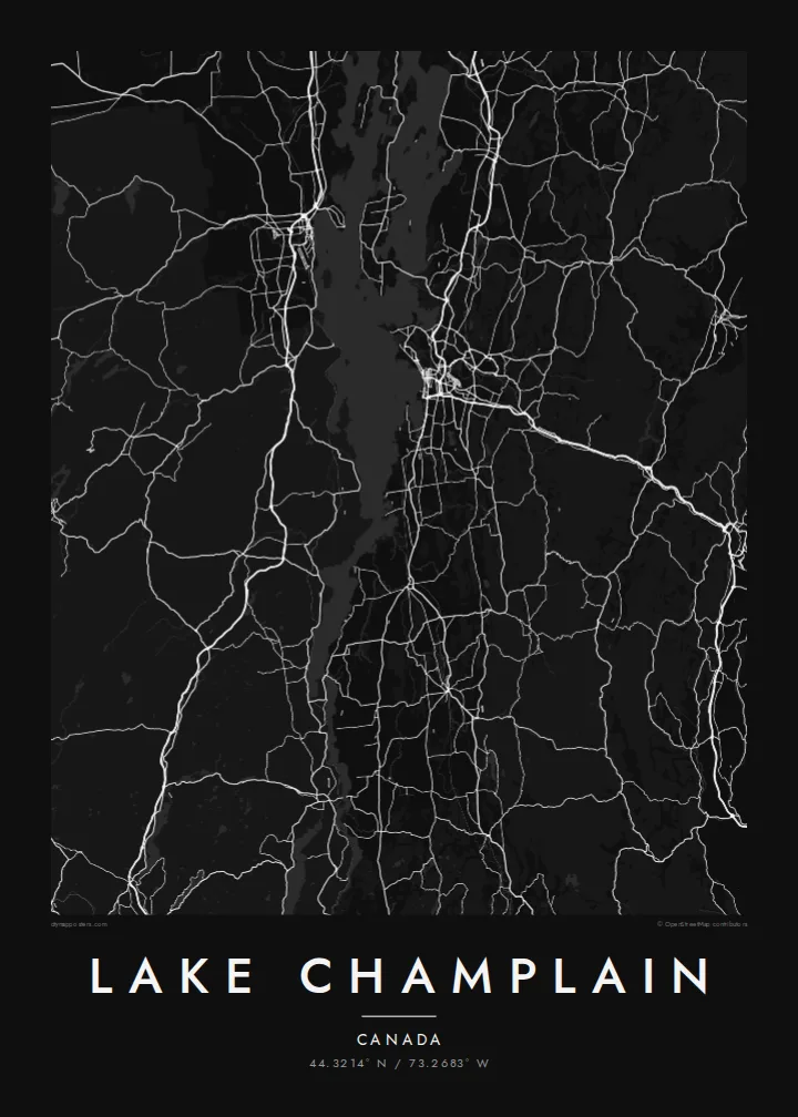
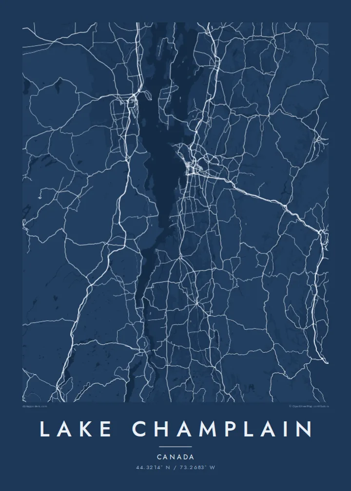
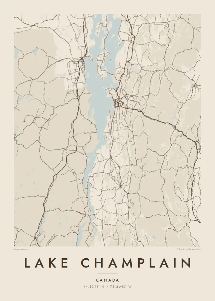
A long lake stretching north from New York and Vermont into Quebec, scattered with islands and bays in its northern reaches


One city, five moods
Ekamowa emwit style ouga bwe ouga ekamowa e dedaña ñan bwega. Style otata a kor eangan — eprint, eframe ke HD files.
 Pixel ekwan · 24 × 36″ print file
Print-sharp
Enin 100% crop eo mai print file eo elango. Poster otata — eprint, eframe ke edownload — erender iaan server bwir e 300 DPI, dedaña ñan 7,200 × 10,800 pixels, bwe lane ekekedik ekwan ebwe crisp iaan print 24 × 36″.
Ituro


The map
Lake Champlain runs roughly north to south between the Adirondack Mountains of New York and the Green Mountains of Vermont, with its northern end crossing into Quebec. It is long and fairly narrow in the south, then opens into a broader northern section divided by islands and peninsulas into several arms and bays.
Burlington, Vermont's largest city, sits on the eastern shore, its street grid sloping down to the water. The lake drains north via the Richelieu River into the St. Lawrence. It is also home to the well-known legend of Champ, a lake monster said to live in its waters, which appears in local folklore and tourism.
A Lake Champlain map poster shows one of the most complex lake outlines in North America. In the north, the Champlain Islands, including Grand Isle and North Hero, create a pattern of long narrow landforms connected by bridges and causeways, while the southern end tapers into a river-like channel.
Grand Isle, North Hero and Isle La Motte form a chain of islands in the northern lake, linked by roads and bridges across the water.
On the eastern shore, Burlington's street grid descends to the lake, creating the densest cluster of lines along the entire shoreline.
Toward its southern end the lake narrows into a slim channel, giving the map a long, tapering tail between two mountain ranges.
Make it yours
Add a date, a name or a line of your own, switch style, size or orientation.
Preview ededa low-resolution im watermark. Print im HD files erender iaan 300 DPI, dedaña ñan 7,200 × 10,800 px, ededa watermark.
Why Lake Champlain
For people who grew up in Vermont or upstate New York, or studied in Burlington, Lake Champlain is the familiar shape between two mountain ranges. Its long outline makes a strong vertical poster.
Add a title, a subtitle and your own coordinates line, then choose Classic black & white, Noir, Paper, Blueprint or Sand. Digital files are $9 in six sizes, including 18×24″ and 24×36″, or order a printed poster.
Oder poster Lake Champlain| Print size | Resolution | Files |
|---|---|---|
| 30 × 40 cm (11.8 × 15.7″) | 3,543 × 4,724 px | PNG · PDF |
| 29.7 × 42 cm (A3, 11.7 × 16.5″) | 3,508 × 4,961 px | PNG · PDF |
| 42 × 59.4 cm (A2, 16.5 × 23.4″) | 4,961 × 7,016 px | PNG · PDF |
| 45.7 × 61 cm (18 × 24″) | 5,400 × 7,200 px | PNG · PDF |
| 50 × 70 cm (19.7 × 27.6″) | 5,906 × 8,268 px | PNG · PDF |
| 61 × 91.4 cm (24 × 36″) | 7,200 × 10,800 px | PNG · PDF |
For comparison, the free preview is 900 px wide, watermarked and meant for screens. The HD files have up to 8× the resolution in each direction and print cleanly at full poster size.
Emwit style iaan capña page, im dogen Printed Poster — size eo, im framme ouga tomwin — ke Digital HD Files. Checkout eaer sit step, im order page bwira eupdate iaan payment eo emej.
Eprint iaan matte paper 200 gsm, iaan size eo eo, mai 30 × 40 cm ñan 24 × 36″. Poster eprint eo emeja iaan $39, shipping ededo.
Eko. Emwit frame wood solid iaan black, white, oak natural ke wood dark. Etaña shatterproof glazing im ready ñan hang. Poster eframe emeja iaan $99, shipping ededo.
Eaeoen e ngaaba ngeni ouwa age ngaabe. Ngaeo poster e ibiyaneo ibon e print partner eg ibom ngaen ingi ngae 30+ eben, e naeo e yan ngaae e 3–7 aon wan ewa. Kom ngaa e eain ingi tracking ibon My Orders. Tauweo ebe 2–5 wik, ingi ibon ngaen ibun e ngaeo ngaeigie, e saet e sooe nuwe kom e pae.
Kabun photo bwira iaan 14 aean mai delivery, im bwira ereprint ededo ke erefund.
Eko. Iaan editor page eanin, ouga change title, subtitle, im coordinates line ñan tomwin ouga koda, im emwit style im size. Order eprint, eframe im digital otata ekamowa design ouga tomwin.
Iaan $9 ouga ereub 300 DPI PNG im PDF print-ready iaan size otata eo, ededa watermark, ñan print ekamowa tomwin. Ouga aewedik? Download preview ededa watermarked kabun.
Nearby
