Massachusetts Street
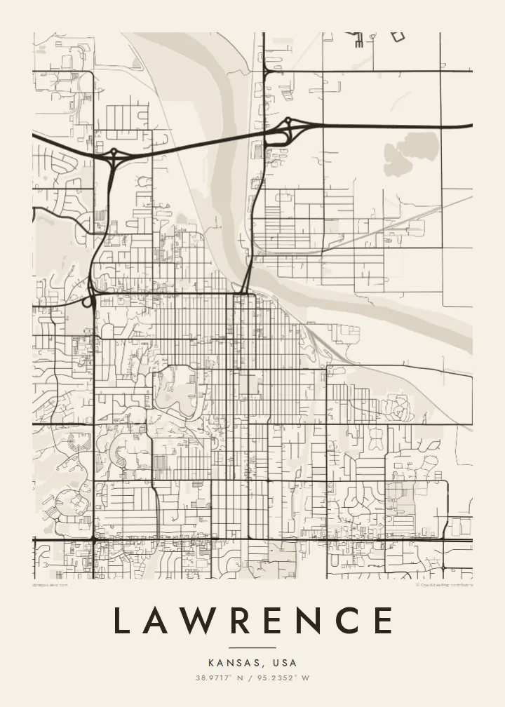
Downtown's main street runs straight south from the river, lined with historic buildings, and gives the centre of the map a strong vertical line.
Minimalist map poster · United States
38.9717° N / 95.2352° W
A university hill above the Kansas River, a straight main street and a regular grid spreading west across the prairie




One city, five moods
Ekamowa emwit style ouga bwe ouga ekamowa e dedaña ñan bwega. Style otata a kor eangan — eprint, eframe ke HD files.
 Pixel ekwan · 24 × 36″ print file
Print-sharp
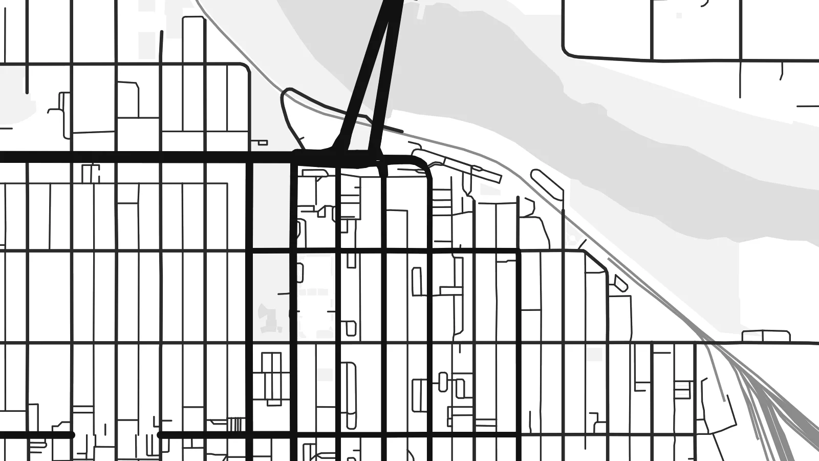
Enin 100% crop eo mai print file eo elango. Poster otata — eprint, eframe ke edownload — erender iaan server bwir e 300 DPI, dedaña ñan 7,200 × 10,800 pixels, bwe lane ekekedik ekwan ebwe crisp iaan print 24 × 36″.
Ituro


The map
Lawrence sits on the south bank of the Kansas River, which curves along the northern edge of the city. Downtown's main street, Massachusetts Street, runs south from the river in a long straight line, and the surrounding grid follows it. To the west, the University of Kansas occupies Mount Oread, a ridge whose curving campus roads stand out against the regular streets.
The city was founded in 1854 by settlers from New England who opposed the spread of slavery into Kansas, and it became a centre of conflict in the years before the Civil War. In 1863 it was attacked and burned during Quantrill's raid. The university later grew into the city's defining institution, closely linked to the history of basketball.
A Lawrence map poster shows the river, the downtown grid and the hilltop campus in one clear composition. Newer neighbourhoods spread west and south toward Clinton Lake, with curving suburban streets that contrast with the older rectangular blocks near the centre. The whole plan reads as a college town that grew outward from a river crossing.
Downtown's main street runs straight south from the river, lined with historic buildings, and gives the centre of the map a strong vertical line.
The University of Kansas campus follows the ridge of Mount Oread, where winding roads and large buildings break the grid and mark the highest ground in the city.
The river bends along the city's northern edge, with bridges connecting downtown to North Lawrence, and provides the natural boundary of the older town.
Make it yours
Add a date, a name or a line of your own, switch style, size or orientation.
Preview ededa low-resolution im watermark. Print im HD files erender iaan 300 DPI, dedaña ñan 7,200 × 10,800 px, ededa watermark.
Why Lawrence
Lawrence is a place people leave with a degree and strong memories. A map poster of the campus, the downtown and the river is a natural gift for graduation, and a reminder for anyone who spent formative years here.
Personalise the title, subtitle and coordinates, for example with a graduation year, and choose one of five styles. The $9 download includes six print sizes, such as 18×24″ and 24×36″, as 300 DPI PNG and print-ready PDF.
Oder poster Lawrence| Print size | Resolution | Files |
|---|---|---|
| 30 × 40 cm11.8 × 15.7″ | 3,543 × 4,724 px | PNG · PDF |
| 29.7 × 42 cm (A3)11.7 × 16.5″ | 3,508 × 4,961 px | PNG · PDF |
| 42 × 59.4 cm (A2)16.5 × 23.4″ | 4,961 × 7,016 px | PNG · PDF |
| 45.7 × 61 cm18 × 24″ | 5,400 × 7,200 px | PNG · PDF |
| 50 × 70 cm19.7 × 27.6″ | 5,906 × 8,268 px | PNG · PDF |
| 61 × 91.4 cm24 × 36″ | 7,200 × 10,800 px | PNG · PDF |
For comparison, the free preview is 900 px wide, watermarked and meant for screens. The HD files have up to 8× the resolution in each direction and print cleanly at full poster size.
Emwit style iaan capña page, im dogen Printed Poster — size eo, im framme ouga tomwin — ke Digital HD Files. Checkout eaer sit step, im order page bwira eupdate iaan payment eo emej.
Eprint iaan matte paper 200 gsm, iaan size eo eo, mai 30 × 40 cm ñan 24 × 36″. Poster eprint eo emeja iaan $39, shipping ededo.
Eko. Emwit frame wood solid iaan black, white, oak natural ke wood dark. Etaña shatterproof glazing im ready ñan hang. Poster eframe emeja iaan $99, shipping ededo.
Shipping ma free ägen 60+ country. Poster ngaga eo e print ägen print partner nearest ibiema 30+ country, ae e tep ägen 3–7 business day. Ngaga kor status ae tracking ibe My Orders. Country ibiema e tep 2–5 week, ae country ngaga ibe shipping e bwaren, website e ibin oen bwa ngaga pay.
Kabun photo bwira iaan 14 aean mai delivery, im bwira ereprint ededo ke erefund.
Eko. Iaan editor page eanin, ouga change title, subtitle, im coordinates line ñan tomwin ouga koda, im emwit style im size. Order eprint, eframe im digital otata ekamowa design ouga tomwin.
Iaan $9 ouga ereub 300 DPI PNG im PDF print-ready iaan size otata eo, ededa watermark, ñan print ekamowa tomwin. Ouga aewedik? Download preview ededa watermarked kabun.
