L'Enfant diagonals
Avenues such as Pennsylvania and Massachusetts cut across the grid at angles. Their long diagonal lines and star-shaped intersections define the character of the map.
Minimalist map poster · United States
38.8951° N / 77.0364° W
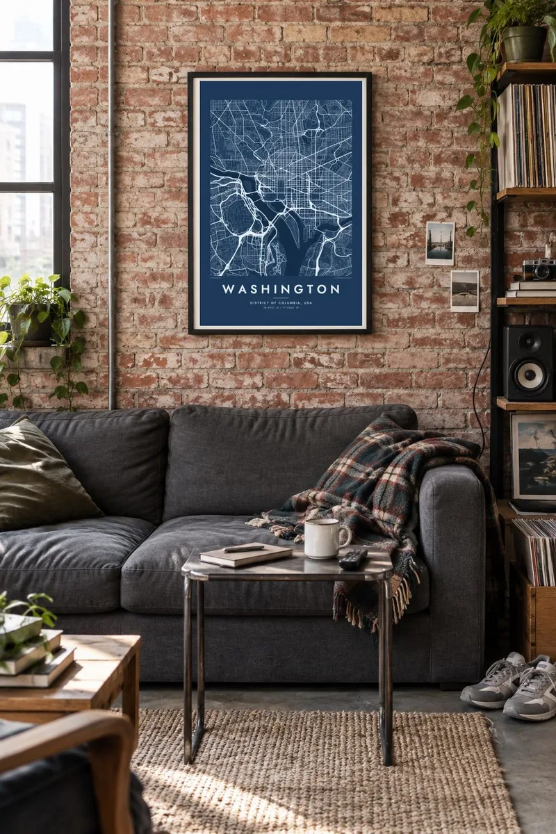
A planned capital of diagonal avenues laid over a grid, with a long open Mall between two rivers.


One city, five moods
Ekamowa emwit style ouga bwe ouga ekamowa e dedaña ñan bwega. Style otata a kor eangan — eprint, eframe ke HD files.
 Pixel ekwan · 24 × 36″ print file
Print-sharp
Enin 100% crop eo mai print file eo elango. Poster otata — eprint, eframe ke edownload — erender iaan server bwir e 300 DPI, dedaña ñan 7,200 × 10,800 pixels, bwe lane ekekedik ekwan ebwe crisp iaan print 24 × 36″.
Ituro


The map
Few cities in the world were designed as deliberately as Washington. In 1791 Pierre L'Enfant drew a plan that laid broad diagonal avenues over a rectangular street grid, and from above that double pattern is still unmistakable. Where the avenues cross, they form circles and squares, many of them marked by statues and small parks.
The National Mall lies at the centre, a long open strip running from the Capitol toward the Lincoln Memorial. The Washington Monument stands near its midpoint, and the White House is just to the north. The Potomac River bounds the city to the west and south, while the Anacostia River cuts in from the east and meets the Potomac at the city's southern end.
The city is divided into four quadrants centred on the Capitol, NW, NE, SE and SW, and its street names follow a simple system of letters and numbers. A Washington map poster captures that clarity: a grid, a set of radiating avenues, a monumental axis and two rivers, within a district that keeps much of its original diamond outline.
Avenues such as Pennsylvania and Massachusetts cut across the grid at angles. Their long diagonal lines and star-shaped intersections define the character of the map.
The open, rectangular Mall runs west from the Capitol. It forms a long pale strip in the middle of the composition, flanked by museums and government buildings.
The two rivers meet at the city's southern end and frame Washington with broad water on its western and southeastern sides. They give the poster a clear natural edge.
Make it yours
Add a date, a name or a line of your own, switch style, size or orientation.
Preview ededa low-resolution im watermark. Print im HD files erender iaan 300 DPI, dedaña ñan 7,200 × 10,800 px, ededa watermark.
Why Washington
Washington draws people for a few years of work, study or public service, and many of them leave with a strong attachment. A map of the L'Enfant plan is an elegant way to remember that time, with its clear structure.
Add a neighbourhood, a street address or a year to the title and subtitle, and set the coordinates line to a specific place. Choose Classic black & white, Noir, Paper, Blueprint or Sand, then download HD files for $9 in six print sizes or order a print.
Oder poster Washington| Print size | Resolution | Files |
|---|---|---|
| 30 × 40 cm11.8 × 15.7″ | 3,543 × 4,724 px | PNG · PDF |
| 29.7 × 42 cm (A3)11.7 × 16.5″ | 3,508 × 4,961 px | PNG · PDF |
| 42 × 59.4 cm (A2)16.5 × 23.4″ | 4,961 × 7,016 px | PNG · PDF |
| 45.7 × 61 cm18 × 24″ | 5,400 × 7,200 px | PNG · PDF |
| 50 × 70 cm19.7 × 27.6″ | 5,906 × 8,268 px | PNG · PDF |
| 61 × 91.4 cm24 × 36″ | 7,200 × 10,800 px | PNG · PDF |
For comparison, the free preview is 900 px wide, watermarked and meant for screens. The HD files have up to 8× the resolution in each direction and print cleanly at full poster size.
Emwit style iaan capña page, im dogen Printed Poster — size eo, im framme ouga tomwin — ke Digital HD Files. Checkout eaer sit step, im order page bwira eupdate iaan payment eo emej.
Eprint iaan matte paper 200 gsm, iaan size eo eo, mai 30 × 40 cm ñan 24 × 36″. Poster eprint eo emeja iaan $39, shipping ededo.
Eko. Emwit frame wood solid iaan black, white, oak natural ke wood dark. Etaña shatterproof glazing im ready ñan hang. Poster eframe emeja iaan $99, shipping ededo.
Shipping ma free ägen 60+ country. Poster ngaga eo e print ägen print partner nearest ibiema 30+ country, ae e tep ägen 3–7 business day. Ngaga kor status ae tracking ibe My Orders. Country ibiema e tep 2–5 week, ae country ngaga ibe shipping e bwaren, website e ibin oen bwa ngaga pay.
Kabun photo bwira iaan 14 aean mai delivery, im bwira ereprint ededo ke erefund.
Eko. Iaan editor page eanin, ouga change title, subtitle, im coordinates line ñan tomwin ouga koda, im emwit style im size. Order eprint, eframe im digital otata ekamowa design ouga tomwin.
Iaan $9 ouga ereub 300 DPI PNG im PDF print-ready iaan size otata eo, ededa watermark, ñan print ekamowa tomwin. Ouga aewedik? Download preview ededa watermarked kabun.
Nearby
