Desert grid
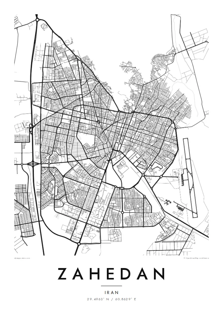
The central districts follow a regular pattern of straight streets and rectangular blocks, which reads on the poster as a crisp, well-defined shape against the empty plain.
Minimalist map poster · Iran
29.4963° N / 60.8629° E
A desert grid on a high plain near Iran's borders with Pakistan and Afghanistan, with bare ridges rising nearby.
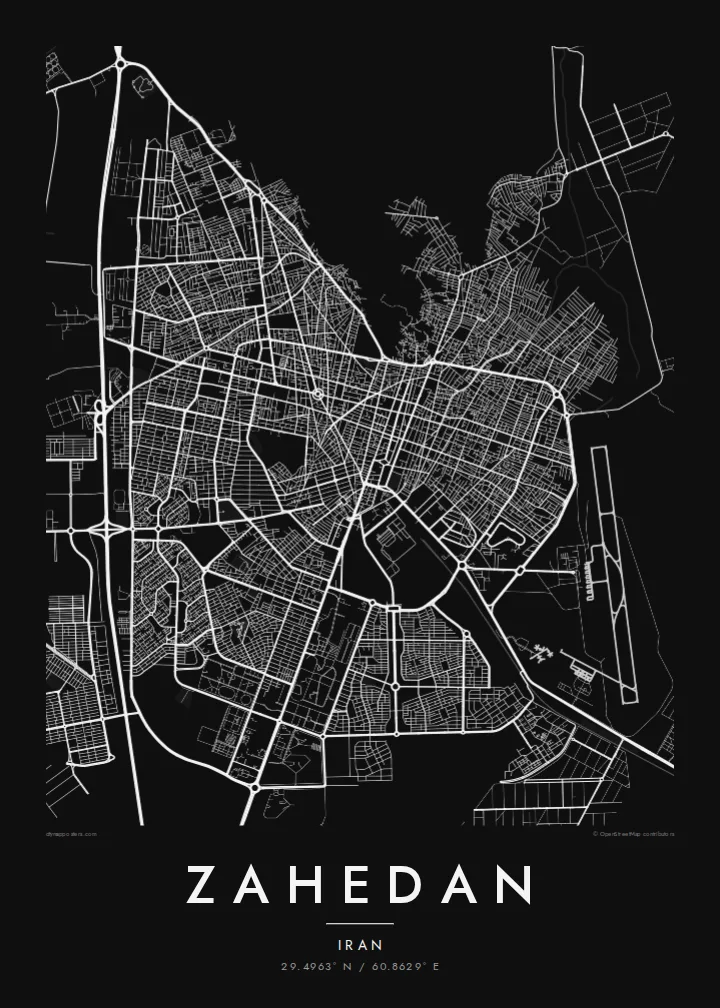


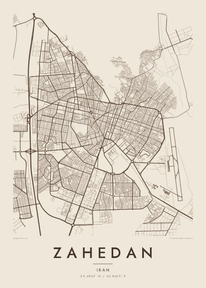
One city, five moods
Ekamowa emwit style ouga bwe ouga ekamowa e dedaña ñan bwega. Style otata a kor eangan — eprint, eframe ke HD files.
 Pixel ekwan · 24 × 36″ print file
Print-sharp
Enin 100% crop eo mai print file eo elango. Poster otata — eprint, eframe ke edownload — erender iaan server bwir e 300 DPI, dedaña ñan 7,200 × 10,800 pixels, bwe lane ekekedik ekwan ebwe crisp iaan print 24 × 36″.
Ituro


The map
Zahedan sits on an arid plateau in southeastern Iran, close to the point where the borders of Iran, Pakistan and Afghanistan meet. From above, the city is a broad, fairly regular grid of streets and blocks laid over flat desert ground, with long avenues crossing the centre and newer districts extending outward. Barren ridges rise at the edges of the plain, and highways lead off across open country.
The city was known as Duzdab until it was renamed Zahedan in the 1930s, and it grew in the twentieth century as a trading post and rail terminus, linked by a line to Quetta in Pakistan. Today it is the capital of Sistan and Baluchestan province, with a mixed Baluch and Persian population and a distinctive position between countries.
A Zahedan map poster shows a city whose clear plan contrasts with the emptiness around it. The grid forms a dense, orderly block, the roads spin out into the desert, and the surrounding hills are suggested by the absence of streets. In monochrome the result is spare and striking, a strong graphic image of a frontier city.
The central districts follow a regular pattern of straight streets and rectangular blocks, which reads on the poster as a crisp, well-defined shape against the empty plain.
Main roads leave the city toward Pakistan, Afghanistan and the Iranian interior, drawn as long lines running out to the edges of the frame.
The railway linking Zahedan to Quetta in Pakistan, and more recently to the Iranian network via Kerman, adds a smooth, continuous track to the map.
Make it yours
Add a date, a name or a line of your own, switch style, size or orientation.
Preview ededa low-resolution im watermark. Print im HD files erender iaan 300 DPI, dedaña ñan 7,200 × 10,800 px, ededa watermark.
Why Zahedan
Zahedan holds personal meaning for Baluch and Persian families across Iran and the diaspora, and for travellers who passed through on the overland route to South Asia. The map is a quiet way to honour that place without relying on stereotypes.
Customise the title, subtitle and coordinates line, and choose Classic black & white, Noir, Paper, Blueprint or Sand. The $9 download provides six print sizes as 300 DPI PNG and print-ready PDF files, with no watermark on the final images.
Oder poster Zahedan| Print size | Resolution | Files |
|---|---|---|
| 30 × 40 cm11.8 × 15.7″ | 3,543 × 4,724 px | PNG · PDF |
| 29.7 × 42 cm (A3)11.7 × 16.5″ | 3,508 × 4,961 px | PNG · PDF |
| 42 × 59.4 cm (A2)16.5 × 23.4″ | 4,961 × 7,016 px | PNG · PDF |
| 45.7 × 61 cm18 × 24″ | 5,400 × 7,200 px | PNG · PDF |
| 50 × 70 cm19.7 × 27.6″ | 5,906 × 8,268 px | PNG · PDF |
| 61 × 91.4 cm24 × 36″ | 7,200 × 10,800 px | PNG · PDF |
For comparison, the free preview is 900 px wide, watermarked and meant for screens. The HD files have up to 8× the resolution in each direction and print cleanly at full poster size.
Emwit style iaan capña page, im dogen Printed Poster — size eo, im framme ouga tomwin — ke Digital HD Files. Checkout eaer sit step, im order page bwira eupdate iaan payment eo emej.
Eprint iaan matte paper 200 gsm, iaan size eo eo, mai 30 × 40 cm ñan 24 × 36″. Poster eprint eo emeja iaan $39, shipping ededo.
Eko. Emwit frame wood solid iaan black, white, oak natural ke wood dark. Etaña shatterproof glazing im ready ñan hang. Poster eframe emeja iaan $99, shipping ededo.
Shipping ma free ägen 60+ country. Poster ngaga eo e print ägen print partner nearest ibiema 30+ country, ae e tep ägen 3–7 business day. Ngaga kor status ae tracking ibe My Orders. Country ibiema e tep 2–5 week, ae country ngaga ibe shipping e bwaren, website e ibin oen bwa ngaga pay.
Kabun photo bwira iaan 14 aean mai delivery, im bwira ereprint ededo ke erefund.
Eko. Iaan editor page eanin, ouga change title, subtitle, im coordinates line ñan tomwin ouga koda, im emwit style im size. Order eprint, eframe im digital otata ekamowa design ouga tomwin.
Iaan $9 ouga ereub 300 DPI PNG im PDF print-ready iaan size otata eo, ededa watermark, ñan print ekamowa tomwin. Ouga aewedik? Download preview ededa watermarked kabun.
