Polar Bear Pass
A low valley runs across the centre of the island and is protected as a national wildlife area. On the poster it shows as a soft break between the higher ground on either side.
Fakatino mape mukamuka · Canada
75.8310° N / 100.0623° W
A broad, ragged island of the high Arctic, its coast cut by long inlets and its interior laced with pale river valleys.


Taha e taone, lima e onoonoaga
Tapaki e taha puhala ke kitia ai ki luga he puipui. Kua tatai e totogi he tau puhala oti — pete he lolomi, poloka, po ke faila HD.
 Tau pikselo mooli · faila lolomi 24 × 36″
Maama mitaki ke lolomi
Ko e 100% e fahi mooli mai he faila lolomi. Ko e tau poster oti — pete kua lolomi, poloka, po ke utu hifo — kua taute ke he ha mautolu a tau tokoluga (server) ke he 300 DPI, hokotia ke he 7,200 × 10,800 piksela, ke maeke ai e tau ala ikiiki tote ke maaliali fakamitaki he lolomi 24 × 36″.
He Pā


Ko e mape
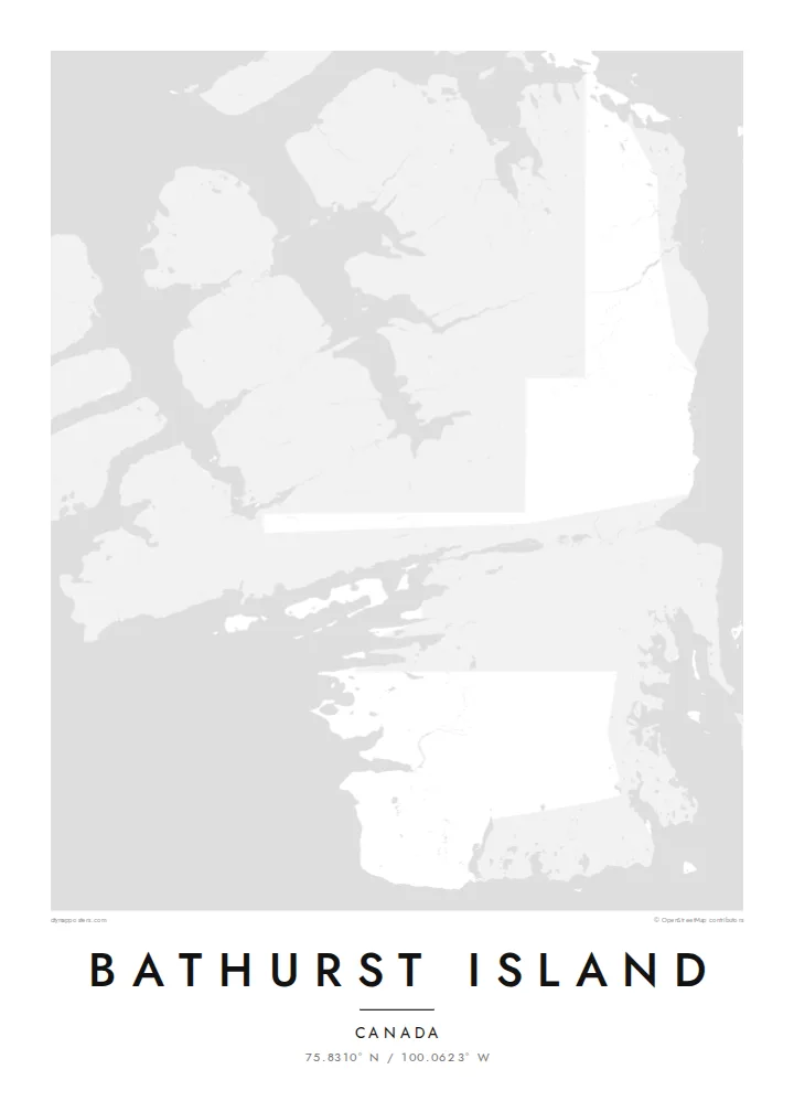
Bathurst Island is in the Queen Elizabeth Islands of Nunavut. It is one of the larger pieces of the Canadian Arctic Archipelago, and no one lives there permanently. On a map it reads as a single mass with a deeply notched outline. Bays push inland from every side, peninsulas reach out toward neighbouring islands, and the channels around it are wide enough to frame the land cleanly on the page.
There are no roads or towns, so the drawing is built from natural lines alone. Rivers run in shallow valleys across a low, rolling interior, small lakes are spread over the lowlands, and most of the detail sits along the shoreline. Near the middle of the island lies Polar Bear Pass, a lowland corridor protected for its wetlands and wildlife. It crosses the land from one coast to the other.
A Bathurst Island map poster suits someone drawn to remote places rather than famous skylines. The composition is quiet and almost abstract, a study of coastline against open water. It works well for anyone who has travelled or worked in the Arctic or followed its research expeditions. It also suits someone who wants a map with no streets at all, where the shape of the land does all the work.
A low valley runs across the centre of the island and is protected as a national wildlife area. On the poster it shows as a soft break between the higher ground on either side.
Long inlets and bays cut into the island from all directions. They give the outline a jagged, hand-drawn quality that holds the eye even at small print sizes.
Open channels separate Bathurst from its neighbours in the archipelago. They leave generous water around the land, so the composition feels spacious rather than crowded.
Taute ke ha hau
Lafi e aho, taha higoa po ke taha kupu haau, hiki e fakatino, lahi po ke tuaga.
Ko e kitiaaga nakai totogi kua tote e maaliali mo e fakamailoga vai. Ko e tau lolomi mo e tau faila HD kua taute ke he 300 DPI, hokotia ke he 7,200 × 10,800 px, nakai fai fakamailoga vai.
Ko e ha Bathurst Island
People choose this map for its restraint. There is no grid to read and no landmark to recognise, only a coastline shaped by ice and sea. That makes it a strong piece for a study, a hallway or a wall that needs something calm and unusual.
You can set your own title, subtitle and coordinates line, perhaps marking an expedition year or a date that matters to you. Then pick one of five styles. Blueprint and Noir bring out the water around the island, while Paper and Sand soften it.
Talaage e poster Bathurst Island| Lahi he lolomi | Maama | Tau faila |
|---|---|---|
| 30 × 40 cm11.8 × 15.7″ | 3,543 × 4,724 px | PNG · PDF |
| 29.7 × 42 cm (A3)11.7 × 16.5″ | 3,508 × 4,961 px | PNG · PDF |
| 42 × 59.4 cm (A2)16.5 × 23.4″ | 4,961 × 7,016 px | PNG · PDF |
| 45.7 × 61 cm18 × 24″ | 5,400 × 7,200 px | PNG · PDF |
| 50 × 70 cm19.7 × 27.6″ | 5,906 × 8,268 px | PNG · PDF |
| 61 × 91.4 cm24 × 36″ | 7,200 × 10,800 px | PNG · PDF |
Ke fakatatai, ko e fakatino noa kua 900 px e laulahi, fai fakamailoga mo e mo e tau mata komipiuta ni. Ko e tau faila HD kua ato hoko ke he 8× e maama ke he tau faahi takitaha mo e lolomi mitaki he lahi katoa he fakatino.
Fifili e taha puhala i luga he kupega, ti fifili e Poster Lolomi — e lahi mo e, kaeke ke manako ai koe, taha poloka — po ke Tau Faila HD Fakaeletonika. Ko e fakaotiaga totogi ko e taha gahua ni, ti ko e kupega he hau a talaaga ka fakafou fakahaga i mua he fakaotiaga e totogi.
Kua lolomi ai ke he pepa mitaki 200 gsm matte he taha he tau lahi ono, mai he 30 × 40 cm ke hoko ke he 24 × 36″. Kamata e tau poster lolomi mai he $39, kua putoia ai e utaaga.
E. Fifili e poloka akau malolō ke he lanu uli, tea, akau oki mooli, po ke akau pouli. Kua fakalataha mo e sioga malolō nakai malepe ti kua mautali ke tautau. Kamata e tau poster poloka mai he $99, kua putoia ai e utaaga.
Nakai totogi e fakafano ke he motu 60+. Ko e fakatino taha kua lolomi he fenoga lolomi ha mautolu kua tata mo e tau motu 30+, kua hoko mai he tau aho gahua 3–7. Maeke ia koe ke kikite e tuaga mo e fakamuitua he lalo he Haku Tau Fakatonu. Ke he falu motu kua 2–5 e tau tapu, ti ka nakai fakafano a mautolu ki ai, to fakaha he api tupe ia ki mua he totogi.
Fakafano mai e taha ata ki a mautolu he loto he 14 e tau aho tali mai he hokoaga, ti to lolomi foki e mautolu nakai totogi po ke liu atu e totogi ki a koe.
E. He editor i luga he kupega nei, hikihiki e matakupu, e matakupu lalo mo e laini coordinates ke he taha mena kua manako a koe ki ai, ti fifili e puhala mo e lahi. Ko e tau talaaga lolomi, poloka mo e fakaeletonika oti kua fakaaoga tonu e hau a fakatino.
Ma e $9 ka moua e koe e tau faila PNG 300 DPI mo e PDF kua mautali ke lolomi he tau lahi ono oti, nakai fai fakamailoga vai, ke lolomi i fe mena. Nakai maopoopo agaia? Utu hifo fakamua e kitiaaga nakai totogi ne fai fakamailoga vai.
Tata mai
