Resolute Bay
A small inlet on the south coast shelters the hamlet, the island's only settlement, which appears as a compact cluster beside the airport and shoreline.
Fakatino mape mukamuka · Canada
75.1356° N / 95.0074° W
A broad, low Arctic island of gravel plateau and shallow valleys, with a single small community on its southern shore.



Taha e taone, lima e onoonoaga
Tapaki e taha puhala ke kitia ai ki luga he puipui. Kua tatai e totogi he tau puhala oti — pete he lolomi, poloka, po ke faila HD.
 Tau pikselo mooli · faila lolomi 24 × 36″
Maama mitaki ke lolomi
Ko e 100% e fahi mooli mai he faila lolomi. Ko e tau poster oti — pete kua lolomi, poloka, po ke utu hifo — kua taute ke he ha mautolu a tau tokoluga (server) ke he 300 DPI, hokotia ke he 7,200 × 10,800 piksela, ke maeke ai e tau ala ikiiki tote ke maaliali fakamitaki he lolomi 24 × 36″.
He Pā


Ko e mape
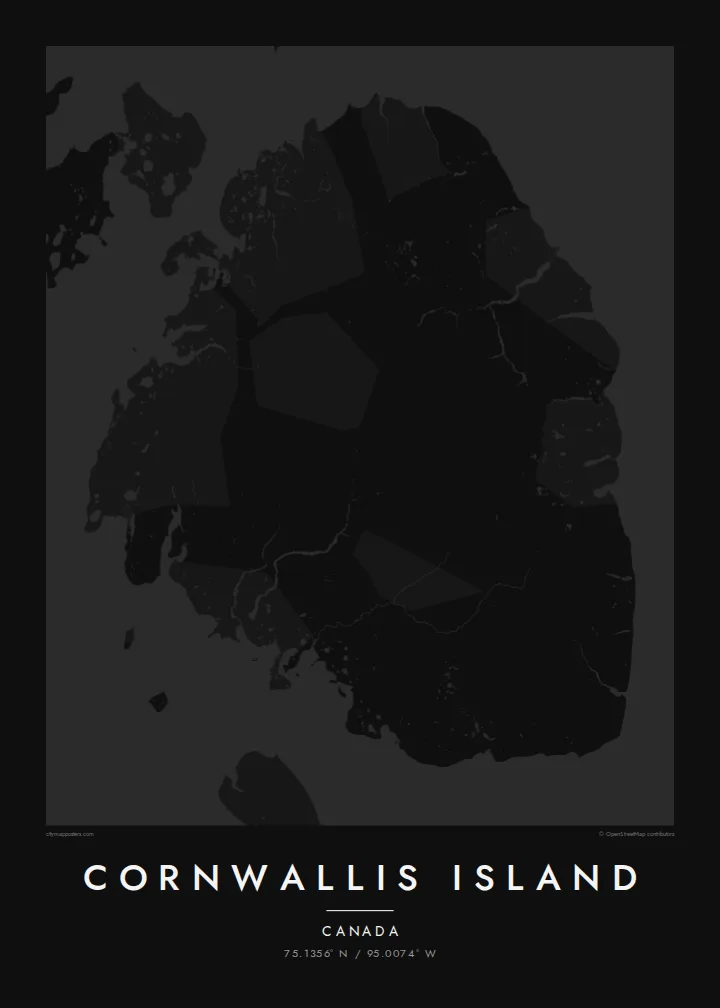
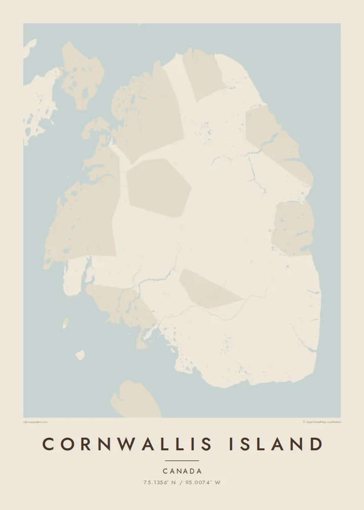
Cornwallis Island lies in the Canadian Arctic Archipelago in Nunavut, among the Queen Elizabeth Islands, with Barrow Strait along its southern coast. Its outline is broad and relatively compact, with a coastline of wide bays and low points. The interior is a polar desert of rolling plateaus and braided stream valleys, largely bare of vegetation and free of snow only for a short summer.
Resolute, called Qausuittuq in Inuktitut, is the island's only community and one of the northernmost in Canada. It was established in 1953 when Inuit families were relocated here from northern Quebec and Baffin Island, a history the Canadian government has since formally acknowledged. The hamlet and its airport sit near Resolute Bay, a small inlet on the south coast, with a short road network between them.
Qausuittuq means the place with no dawn, a reference to the long polar night. Resolute serves as a staging point for Arctic expeditions and research. A Cornwallis Island map poster shows how little human mark there is on so large an island: a few lines at the southern edge, and around them thousands of square kilometres of open land.
A small inlet on the south coast shelters the hamlet, the island's only settlement, which appears as a compact cluster beside the airport and shoreline.
The wide channel along the southern coast is part of the Northwest Passage, framing the island's lower edge with open water.
The interior is a low, stony upland threaded by stream beds, which prints as a vast, almost untouched field around the southern settlement.
Taute ke ha hau
Lafi e aho, taha higoa po ke taha kupu haau, hiki e fakatino, lahi po ke tuaga.
Ko e kitiaaga nakai totogi kua tote e maaliali mo e fakamailoga vai. Ko e tau lolomi mo e tau faila HD kua taute ke he 300 DPI, hokotia ke he 7,200 × 10,800 px, nakai fai fakamailoga vai.
Ko e ha Cornwallis Island
For people from Resolute, and for researchers, pilots and expedition staff who have passed through, this is a map of somewhere few others will ever see. Its emptiness is the point, and it holds a wall with quiet authority.
Personalise the title, perhaps with Qausuittuq, add a subtitle and a coordinates line, then choose Classic black & white, Noir, Paper, Blueprint or Sand. A free 900 px watermarked preview lets you check the result first.
Talaage e poster Cornwallis Island| Lahi he lolomi | Maama | Tau faila |
|---|---|---|
| 30 × 40 cm11.8 × 15.7″ | 3,543 × 4,724 px | PNG · PDF |
| 29.7 × 42 cm (A3)11.7 × 16.5″ | 3,508 × 4,961 px | PNG · PDF |
| 42 × 59.4 cm (A2)16.5 × 23.4″ | 4,961 × 7,016 px | PNG · PDF |
| 45.7 × 61 cm18 × 24″ | 5,400 × 7,200 px | PNG · PDF |
| 50 × 70 cm19.7 × 27.6″ | 5,906 × 8,268 px | PNG · PDF |
| 61 × 91.4 cm24 × 36″ | 7,200 × 10,800 px | PNG · PDF |
Ke fakatatai, ko e fakatino noa kua 900 px e laulahi, fai fakamailoga mo e mo e tau mata komipiuta ni. Ko e tau faila HD kua ato hoko ke he 8× e maama ke he tau faahi takitaha mo e lolomi mitaki he lahi katoa he fakatino.
Fifili e taha puhala i luga he kupega, ti fifili e Poster Lolomi — e lahi mo e, kaeke ke manako ai koe, taha poloka — po ke Tau Faila HD Fakaeletonika. Ko e fakaotiaga totogi ko e taha gahua ni, ti ko e kupega he hau a talaaga ka fakafou fakahaga i mua he fakaotiaga e totogi.
Kua lolomi ai ke he pepa mitaki 200 gsm matte he taha he tau lahi ono, mai he 30 × 40 cm ke hoko ke he 24 × 36″. Kamata e tau poster lolomi mai he $39, kua putoia ai e utaaga.
E. Fifili e poloka akau malolō ke he lanu uli, tea, akau oki mooli, po ke akau pouli. Kua fakalataha mo e sioga malolō nakai malepe ti kua mautali ke tautau. Kamata e tau poster poloka mai he $99, kua putoia ai e utaaga.
Nakai totogi e fakafano ke he motu 60+. Ko e fakatino taha kua lolomi he fenoga lolomi ha mautolu kua tata mo e tau motu 30+, kua hoko mai he tau aho gahua 3–7. Maeke ia koe ke kikite e tuaga mo e fakamuitua he lalo he Haku Tau Fakatonu. Ke he falu motu kua 2–5 e tau tapu, ti ka nakai fakafano a mautolu ki ai, to fakaha he api tupe ia ki mua he totogi.
Fakafano mai e taha ata ki a mautolu he loto he 14 e tau aho tali mai he hokoaga, ti to lolomi foki e mautolu nakai totogi po ke liu atu e totogi ki a koe.
E. He editor i luga he kupega nei, hikihiki e matakupu, e matakupu lalo mo e laini coordinates ke he taha mena kua manako a koe ki ai, ti fifili e puhala mo e lahi. Ko e tau talaaga lolomi, poloka mo e fakaeletonika oti kua fakaaoga tonu e hau a fakatino.
Ma e $9 ka moua e koe e tau faila PNG 300 DPI mo e PDF kua mautali ke lolomi he tau lahi ono oti, nakai fai fakamailoga vai, ke lolomi i fe mena. Nakai maopoopo agaia? Utu hifo fakamua e kitiaaga nakai totogi ne fai fakamailoga vai.
Tata mai
