Yuzhong peninsula
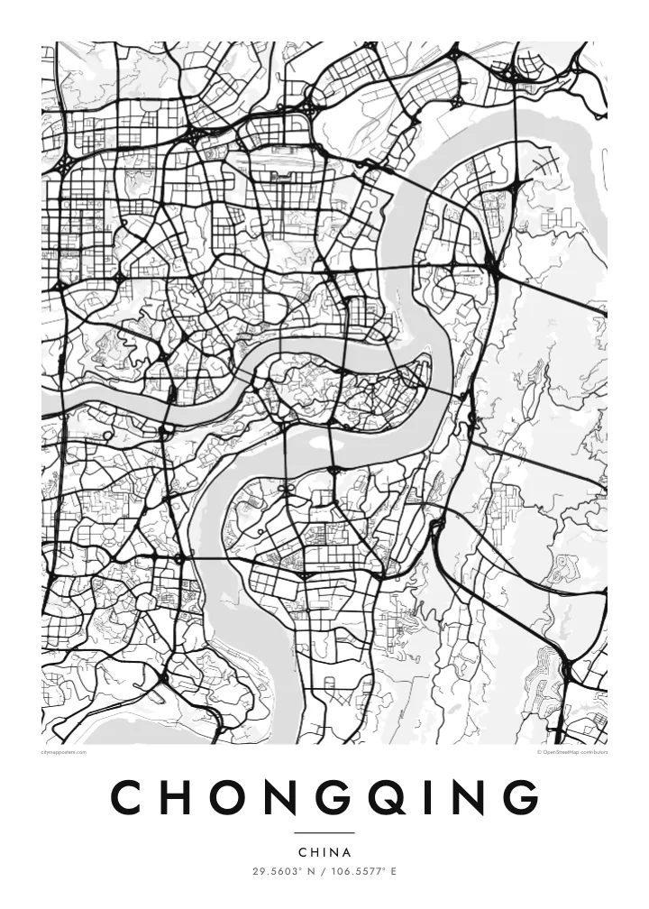
The old centre fills a slender finger of land between the Jialing and Yangtze, ending at Chaotianmen, where the two rivers meet and continue east as one.
Fakatino mape mukamuka · China
29.5603° N / 106.5577° E
A mountain city folded around the meeting of two rivers, its streets climbing hillsides and bridges stitching every bank together

Taha e taone, lima e onoonoaga
Tapaki e taha puhala ke kitia ai ki luga he puipui. Kua tatai e totogi he tau puhala oti — pete he lolomi, poloka, po ke faila HD.
 Tau pikselo mooli · faila lolomi 24 × 36″
Maama mitaki ke lolomi
Ko e 100% e fahi mooli mai he faila lolomi. Ko e tau poster oti — pete kua lolomi, poloka, po ke utu hifo — kua taute ke he ha mautolu a tau tokoluga (server) ke he 300 DPI, hokotia ke he 7,200 × 10,800 piksela, ke maeke ai e tau ala ikiiki tote ke maaliali fakamitaki he lolomi 24 × 36″.
He Pā


Ko e mape
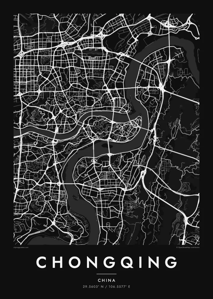
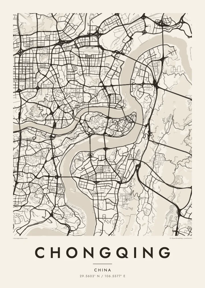
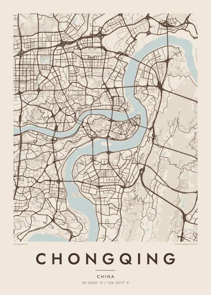
Chongqing is built where the Jialing River flows into the Yangtze, and the map makes that meeting point unmistakable. The historic core of Yuzhong occupies a narrow, rocky peninsula between the two rivers, tapering to a point at Chaotianmen, where the waters join. From there the city spreads across both banks and up into the surrounding ridges, filling valleys and hilltops alike.
Few large cities are this uneven. Streets here do not follow a grid; they curve along contour lines, switch back up slopes and stop abruptly at cliffs, so the pattern on paper looks more like a set of branching veins than a planned plan. Roads sit at different levels, and a building's ground floor on one side may be several storeys up on the other.
A Chongqing map poster turns this terrain into an intricate drawing. Its many bridges, which have earned it the nickname of China's bridge city, cross the Yangtze and Jialing again and again, linking districts that the rivers and hills would otherwise keep apart. The result is one of the most distinctive urban outlines in the world.
The old centre fills a slender finger of land between the Jialing and Yangtze, ending at Chaotianmen, where the two rivers meet and continue east as one.
Roads wind around hills rather than cutting through them, so neighbourhoods appear as curling clusters of streets separated by steep slopes and gaps where the ground falls away.
Dozens of bridges span the two rivers, and on the map they appear as a series of straight lines stitching the curving banks together at regular intervals.
Taute ke ha hau
Lafi e aho, taha higoa po ke taha kupu haau, hiki e fakatino, lahi po ke tuaga.
Ko e kitiaaga nakai totogi kua tote e maaliali mo e fakamailoga vai. Ko e tau lolomi mo e tau faila HD kua taute ke he 300 DPI, hokotia ke he 7,200 × 10,800 px, nakai fai fakamailoga vai.
Ko e ha Chongqing
For anyone who has climbed Chongqing's stairways, ridden the monorail through its hills or looked out over the rivers at night, this map is an unmistakable reminder of the city. It works as a piece for a home there, a keepsake from a trip or a gift for someone who grew up among its slopes.
Add a title and a date that matter to you, and choose from five styles: Classic black & white, Noir, Paper, Blueprint or Sand. The layered streets and river curves read clearly in every version, from dark Noir to warm, soft Sand.
Talaage e poster Chongqing| Lahi he lolomi | Maama | Tau faila |
|---|---|---|
| 30 × 40 cm11.8 × 15.7″ | 3,543 × 4,724 px | PNG · PDF |
| 29.7 × 42 cm (A3)11.7 × 16.5″ | 3,508 × 4,961 px | PNG · PDF |
| 42 × 59.4 cm (A2)16.5 × 23.4″ | 4,961 × 7,016 px | PNG · PDF |
| 45.7 × 61 cm18 × 24″ | 5,400 × 7,200 px | PNG · PDF |
| 50 × 70 cm19.7 × 27.6″ | 5,906 × 8,268 px | PNG · PDF |
| 61 × 91.4 cm24 × 36″ | 7,200 × 10,800 px | PNG · PDF |
Ke fakatatai, ko e fakatino noa kua 900 px e laulahi, fai fakamailoga mo e mo e tau mata komipiuta ni. Ko e tau faila HD kua ato hoko ke he 8× e maama ke he tau faahi takitaha mo e lolomi mitaki he lahi katoa he fakatino.
Fifili e taha puhala i luga he kupega, ti fifili e Poster Lolomi — e lahi mo e, kaeke ke manako ai koe, taha poloka — po ke Tau Faila HD Fakaeletonika. Ko e fakaotiaga totogi ko e taha gahua ni, ti ko e kupega he hau a talaaga ka fakafou fakahaga i mua he fakaotiaga e totogi.
Kua lolomi ai ke he pepa mitaki 200 gsm matte he taha he tau lahi ono, mai he 30 × 40 cm ke hoko ke he 24 × 36″. Kamata e tau poster lolomi mai he $39, kua putoia ai e utaaga.
E. Fifili e poloka akau malolō ke he lanu uli, tea, akau oki mooli, po ke akau pouli. Kua fakalataha mo e sioga malolō nakai malepe ti kua mautali ke tautau. Kamata e tau poster poloka mai he $99, kua putoia ai e utaaga.
Nakai totogi e fakafano ke he motu 60+. Ko e fakatino taha kua lolomi he fenoga lolomi ha mautolu kua tata mo e tau motu 30+, kua hoko mai he tau aho gahua 3–7. Maeke ia koe ke kikite e tuaga mo e fakamuitua he lalo he Haku Tau Fakatonu. Ke he falu motu kua 2–5 e tau tapu, ti ka nakai fakafano a mautolu ki ai, to fakaha he api tupe ia ki mua he totogi.
Fakafano mai e taha ata ki a mautolu he loto he 14 e tau aho tali mai he hokoaga, ti to lolomi foki e mautolu nakai totogi po ke liu atu e totogi ki a koe.
E. He editor i luga he kupega nei, hikihiki e matakupu, e matakupu lalo mo e laini coordinates ke he taha mena kua manako a koe ki ai, ti fifili e puhala mo e lahi. Ko e tau talaaga lolomi, poloka mo e fakaeletonika oti kua fakaaoga tonu e hau a fakatino.
Ma e $9 ka moua e koe e tau faila PNG 300 DPI mo e PDF kua mautali ke lolomi he tau lahi ono oti, nakai fai fakamailoga vai, ke lolomi i fe mena. Nakai maopoopo agaia? Utu hifo fakamua e kitiaaga nakai totogi ne fai fakamailoga vai.
Tata mai
