Dongjiang channels
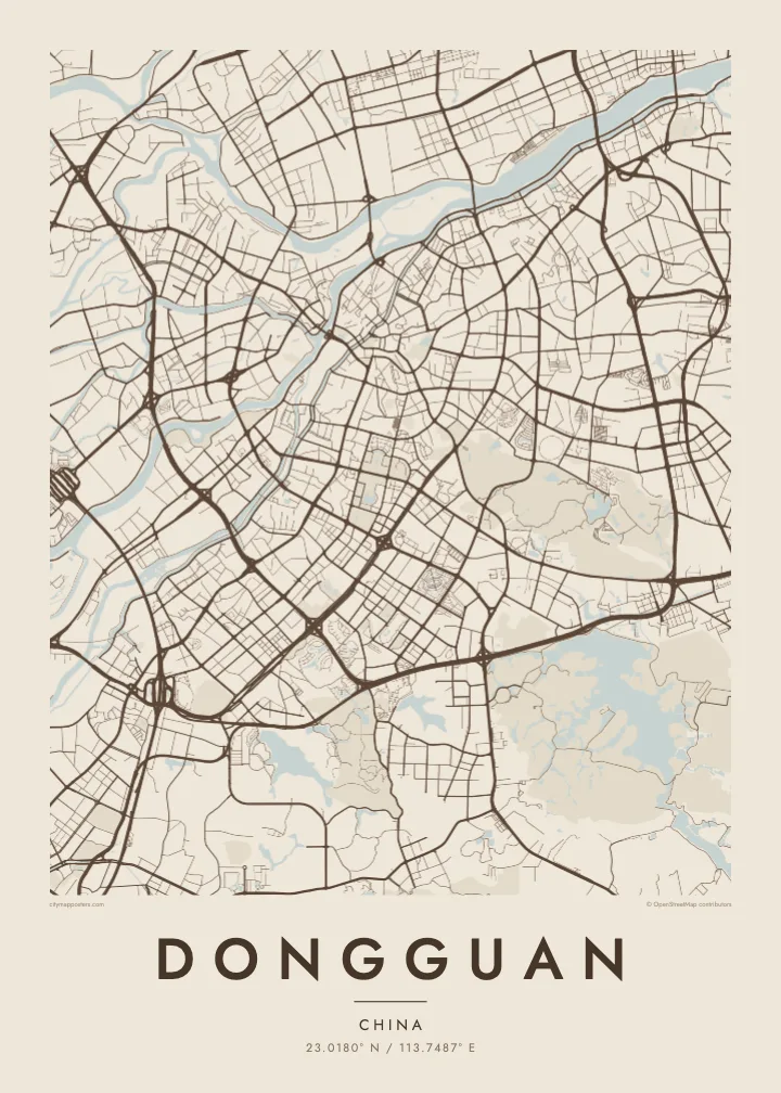
The East River splits into braided channels across the north of the city on its way to the delta, drawing pale lines through farmland and the newer districts along its banks.
Fakatino mape mukamuka · China
23.0180° N / 113.7487° E
A sprawling patchwork of towns between Guangzhou and Shenzhen, laced with river channels and edged by the Pearl River estuary.
Taha e taone, lima e onoonoaga
Tapaki e taha puhala ke kitia ai ki luga he puipui. Kua tatai e totogi he tau puhala oti — pete he lolomi, poloka, po ke faila HD.
 Tau pikselo mooli · faila lolomi 24 × 36″
Maama mitaki ke lolomi
Ko e 100% e fahi mooli mai he faila lolomi. Ko e tau poster oti — pete kua lolomi, poloka, po ke utu hifo — kua taute ke he ha mautolu a tau tokoluga (server) ke he 300 DPI, hokotia ke he 7,200 × 10,800 piksela, ke maeke ai e tau ala ikiiki tote ke maaliali fakamitaki he lolomi 24 × 36″.
He Pā


Ko e mape
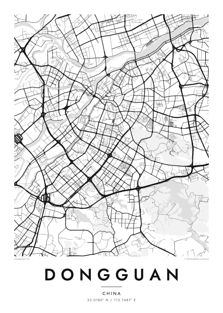
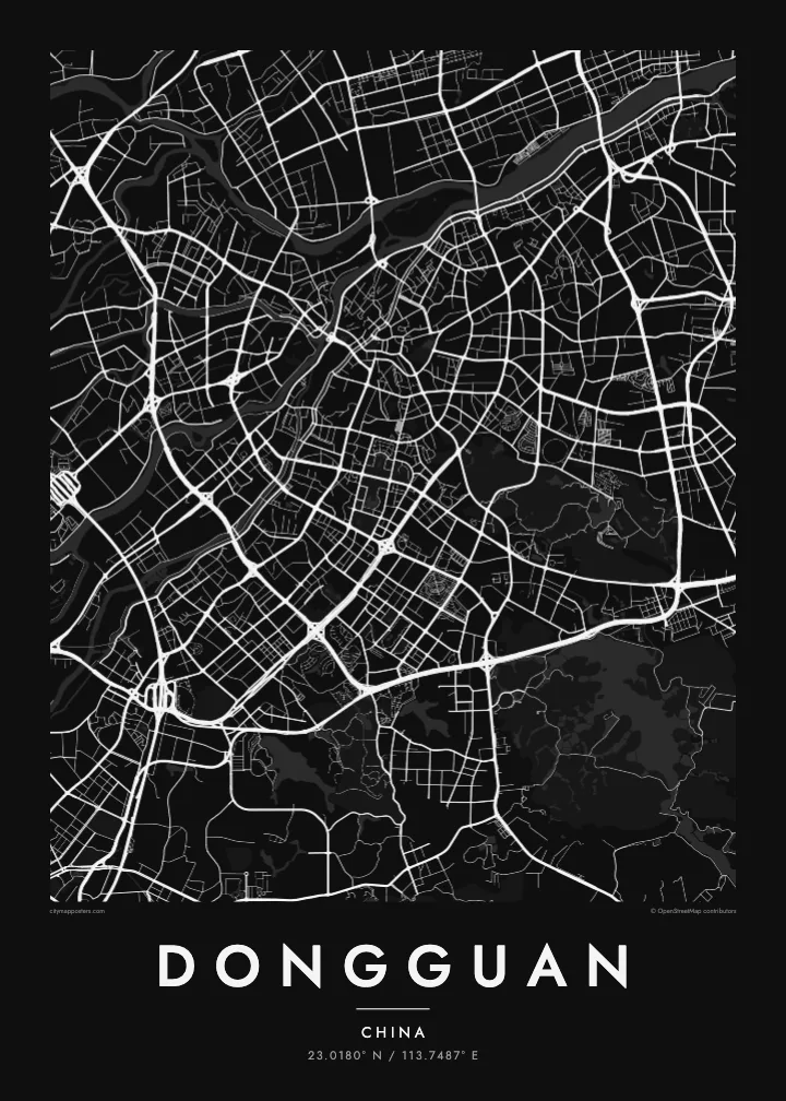
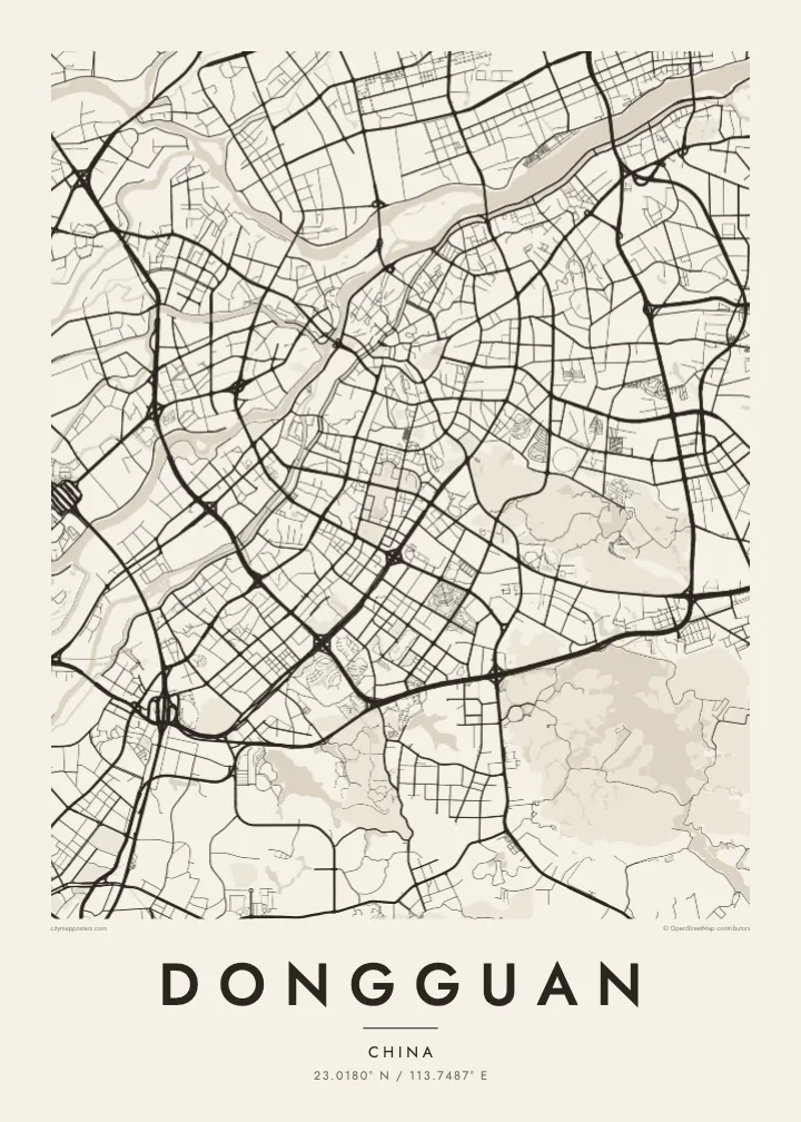
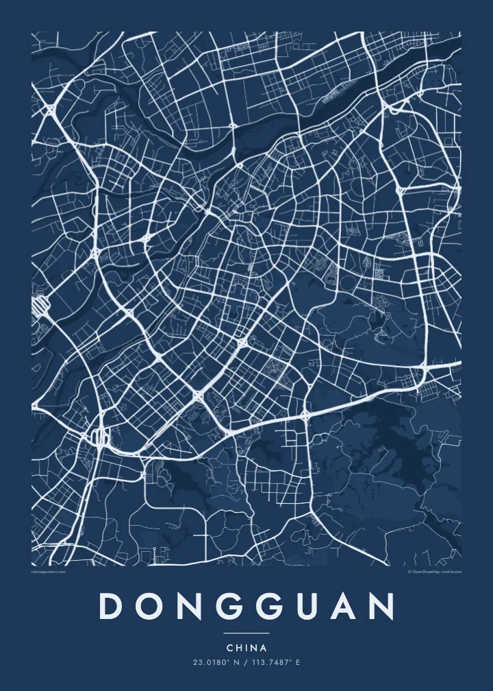
Dongguan has no single centre in the usual sense. The city is organised as a collection of towns under the municipal government, and from above they appear as separate clusters of streets joined by expressways across the Pearl River Delta. The Dongjiang, or East River, divides into several channels along the northern edge, while the western side faces the wide estuary.
The town of Humen, on the estuary side, is where the official Lin Zexu destroyed confiscated opium in 1839, an event that preceded the First Opium War. Today the Humen Bridge spans the Pearl River nearby, a long thin line on the map connecting Dongguan with the opposite shore. In the southeast, Songshan Lake shapes a greener district of research parks and campuses.
Dongguan became known in recent decades as one of the world's major manufacturing centres, and its layout reflects that growth: industrial blocks, broad arterial roads and older village cores sit side by side. A Dongguan map poster turns this complicated, polycentric landscape into a readable pattern of water, roads and town grids, with each cluster holding its own streets.
The East River splits into braided channels across the north of the city on its way to the delta, drawing pale lines through farmland and the newer districts along its banks.
A suspension bridge across the Pearl River estuary near Humen, where the land narrows toward the water. On the poster it leaves the Dongguan shore as a single, fine stroke.
An irregular lake in the southeast, wrapped by parkland and a newer technology district. Its branching shoreline stands out against the denser road networks of the surrounding towns.
Taute ke ha hau
Lafi e aho, taha higoa po ke taha kupu haau, hiki e fakatino, lahi po ke tuaga.
Ko e kitiaaga nakai totogi kua tote e maaliali mo e fakamailoga vai. Ko e tau lolomi mo e tau faila HD kua taute ke he 300 DPI, hokotia ke he 7,200 × 10,800 px, nakai fai fakamailoga vai.
Ko e ha Dongguan
Many people have spent formative working years in Dongguan, or have family spread across its towns. A map showing Humen, the city centre and the river channels together gives a sense of the whole place, rather than a single neighbourhood or factory district.
Personalise the title with the name of your town, add a date or a subtitle, and pick one of five styles, from Paper to Sand. The digital file comes in six print sizes, or you can order a matte printed poster with an optional wooden frame.
Talaage e poster Dongguan| Lahi he lolomi | Maama | Tau faila |
|---|---|---|
| 30 × 40 cm11.8 × 15.7″ | 3,543 × 4,724 px | PNG · PDF |
| 29.7 × 42 cm (A3)11.7 × 16.5″ | 3,508 × 4,961 px | PNG · PDF |
| 42 × 59.4 cm (A2)16.5 × 23.4″ | 4,961 × 7,016 px | PNG · PDF |
| 45.7 × 61 cm18 × 24″ | 5,400 × 7,200 px | PNG · PDF |
| 50 × 70 cm19.7 × 27.6″ | 5,906 × 8,268 px | PNG · PDF |
| 61 × 91.4 cm24 × 36″ | 7,200 × 10,800 px | PNG · PDF |
Ke fakatatai, ko e fakatino noa kua 900 px e laulahi, fai fakamailoga mo e mo e tau mata komipiuta ni. Ko e tau faila HD kua ato hoko ke he 8× e maama ke he tau faahi takitaha mo e lolomi mitaki he lahi katoa he fakatino.
Fifili e taha puhala i luga he kupega, ti fifili e Poster Lolomi — e lahi mo e, kaeke ke manako ai koe, taha poloka — po ke Tau Faila HD Fakaeletonika. Ko e fakaotiaga totogi ko e taha gahua ni, ti ko e kupega he hau a talaaga ka fakafou fakahaga i mua he fakaotiaga e totogi.
Kua lolomi ai ke he pepa mitaki 200 gsm matte he taha he tau lahi ono, mai he 30 × 40 cm ke hoko ke he 24 × 36″. Kamata e tau poster lolomi mai he $39, kua putoia ai e utaaga.
E. Fifili e poloka akau malolō ke he lanu uli, tea, akau oki mooli, po ke akau pouli. Kua fakalataha mo e sioga malolō nakai malepe ti kua mautali ke tautau. Kamata e tau poster poloka mai he $99, kua putoia ai e utaaga.
Nakai totogi e fakafano ke he motu 60+. Ko e fakatino taha kua lolomi he fenoga lolomi ha mautolu kua tata mo e tau motu 30+, kua hoko mai he tau aho gahua 3–7. Maeke ia koe ke kikite e tuaga mo e fakamuitua he lalo he Haku Tau Fakatonu. Ke he falu motu kua 2–5 e tau tapu, ti ka nakai fakafano a mautolu ki ai, to fakaha he api tupe ia ki mua he totogi.
Fakafano mai e taha ata ki a mautolu he loto he 14 e tau aho tali mai he hokoaga, ti to lolomi foki e mautolu nakai totogi po ke liu atu e totogi ki a koe.
E. He editor i luga he kupega nei, hikihiki e matakupu, e matakupu lalo mo e laini coordinates ke he taha mena kua manako a koe ki ai, ti fifili e puhala mo e lahi. Ko e tau talaaga lolomi, poloka mo e fakaeletonika oti kua fakaaoga tonu e hau a fakatino.
Ma e $9 ka moua e koe e tau faila PNG 300 DPI mo e PDF kua mautali ke lolomi he tau lahi ono oti, nakai fai fakamailoga vai, ke lolomi i fe mena. Nakai maopoopo agaia? Utu hifo fakamua e kitiaaga nakai totogi ne fai fakamailoga vai.
Tata mai
