Canal de Santa Cruz
This narrow tidal channel wraps the island's western side and separates it from the mainland. On paper it becomes a thin, winding line of water edged by the irregular outline of the mangroves.
Fakatino mape mukamuka · Brazil
7.7478° S / 34.8256° W
An island separated from the Pernambuco mainland by a narrow mangrove channel, with a ragged Atlantic shoreline of beaches and sandbars.


Taha e taone, lima e onoonoaga
Tapaki e taha puhala ke kitia ai ki luga he puipui. Kua tatai e totogi he tau puhala oti — pete he lolomi, poloka, po ke faila HD.
 Tau pikselo mooli · faila lolomi 24 × 36″
Maama mitaki ke lolomi
Ko e 100% e fahi mooli mai he faila lolomi. Ko e tau poster oti — pete kua lolomi, poloka, po ke utu hifo — kua taute ke he ha mautolu a tau tokoluga (server) ke he 300 DPI, hokotia ke he 7,200 × 10,800 piksela, ke maeke ai e tau ala ikiiki tote ke maaliali fakamitaki he lolomi 24 × 36″.
He Pā


Ko e mape
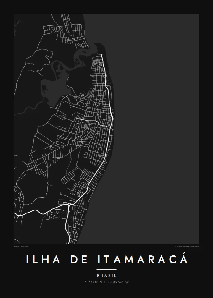
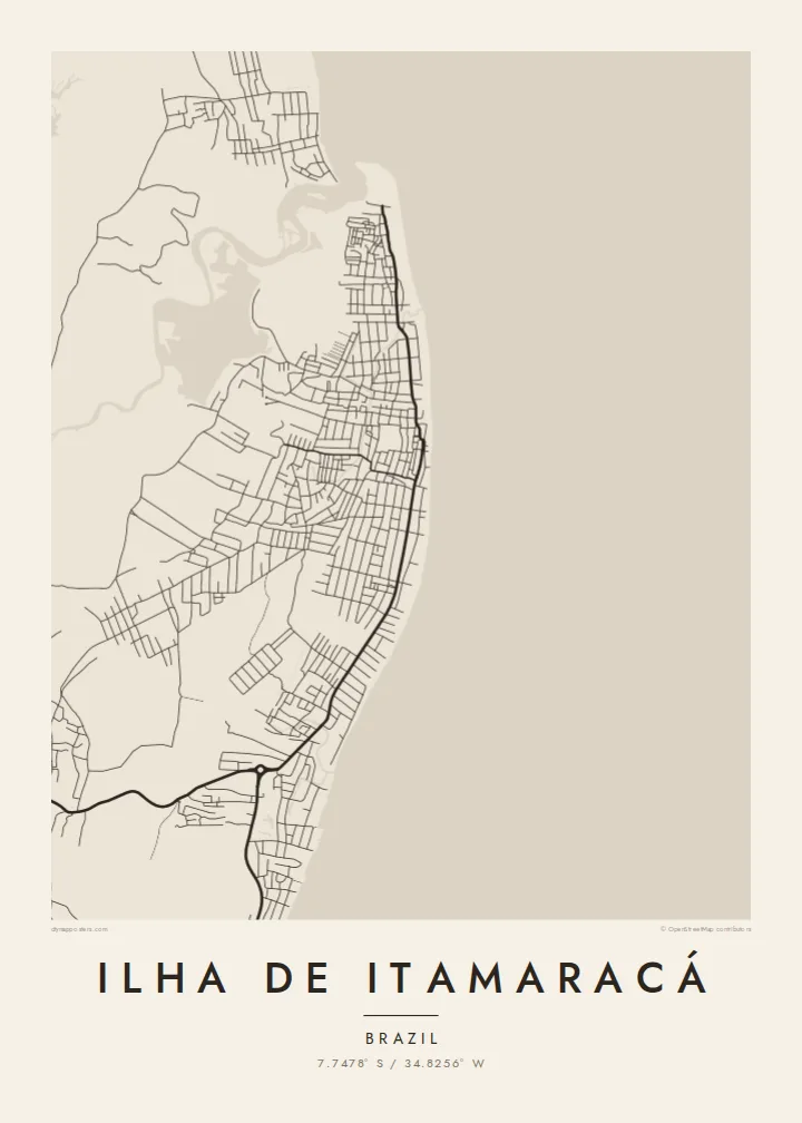
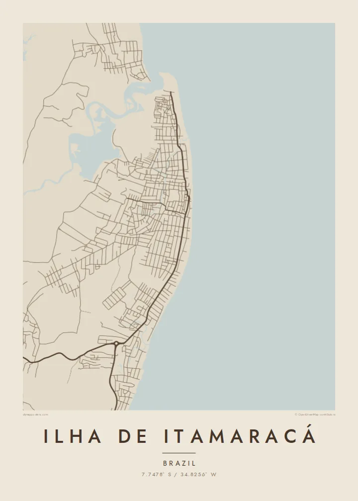
Ilha de Itamaracá lies just north of Recife. The Canal de Santa Cruz, a slim tidal channel lined with mangroves, cuts it off from the mainland. On a map the island reads as a rounded, irregular shape, and one road bridge links it to the continent at Itapissuma. The eastern edge faces the open Atlantic. The western edge dissolves into the soft, branching lines of estuary and swamp.
The settlement is spread thinly along the coast rather than packed into one centre. Beachfront streets follow the curve of the shore, and a few roads cut inland through palms and scrubland. Vila Velha is one of the oldest colonial settlements in Brazil and sits on higher ground. At the southern tip stands Forte Orange, a star-shaped fort begun by the Dutch in the seventeenth century.
A Ilha de Itamaracá map poster keeps that relationship between land and water in view. The coastline carries most of the drawing, the channel supplies a fine inner contour, and the few streets add a light, open texture. Offshore, the Coroa do Avião sandbank shows at low tide as a small pale sliver, and it gives the composition an unexpected accent.
This narrow tidal channel wraps the island's western side and separates it from the mainland. On paper it becomes a thin, winding line of water edged by the irregular outline of the mangroves.
At the southern end, the star-shaped Dutch fort shows up as a small geometric form next to the water. It is one of the most distinctive shapes anywhere on this coastline.
Along the eastern shore the streets follow the beaches in long, slightly bent lines. They trace the island's outer edge more than they form a grid.
Taute ke ha hau
Lafi e aho, taha higoa po ke taha kupu haau, hiki e fakatino, lahi po ke tuaga.
Ko e kitiaaga nakai totogi kua tote e maaliali mo e fakamailoga vai. Ko e tau lolomi mo e tau faila HD kua taute ke he 300 DPI, hokotia ke he 7,200 × 10,800 px, nakai fai fakamailoga vai.
Ko e ha Ilha de Itamaracá
Some people know Itamaracá from weekend trips out of Recife, from childhood holidays, or from boat rides to the sandbank. For them, the island's outline is instantly recognisable. A poster turns it into a quiet reminder of salt air and slow afternoons, drawn only in line and shape.
You can personalise the title, subtitle and coordinates line with a family name, a date or the name of a beach. Choose from five styles: Classic black & white, Noir, Paper, Blueprint or Sand. Download the HD files for $9, or order a matte print with an optional wooden frame.
Talaage e poster Ilha de Itamaracá| Lahi he lolomi | Maama | Tau faila |
|---|---|---|
| 30 × 40 cm11.8 × 15.7″ | 3,543 × 4,724 px | PNG · PDF |
| 29.7 × 42 cm (A3)11.7 × 16.5″ | 3,508 × 4,961 px | PNG · PDF |
| 42 × 59.4 cm (A2)16.5 × 23.4″ | 4,961 × 7,016 px | PNG · PDF |
| 45.7 × 61 cm18 × 24″ | 5,400 × 7,200 px | PNG · PDF |
| 50 × 70 cm19.7 × 27.6″ | 5,906 × 8,268 px | PNG · PDF |
| 61 × 91.4 cm24 × 36″ | 7,200 × 10,800 px | PNG · PDF |
Ke fakatatai, ko e fakatino noa kua 900 px e laulahi, fai fakamailoga mo e mo e tau mata komipiuta ni. Ko e tau faila HD kua ato hoko ke he 8× e maama ke he tau faahi takitaha mo e lolomi mitaki he lahi katoa he fakatino.
Fifili e taha puhala i luga he kupega, ti fifili e Poster Lolomi — e lahi mo e, kaeke ke manako ai koe, taha poloka — po ke Tau Faila HD Fakaeletonika. Ko e fakaotiaga totogi ko e taha gahua ni, ti ko e kupega he hau a talaaga ka fakafou fakahaga i mua he fakaotiaga e totogi.
Kua lolomi ai ke he pepa mitaki 200 gsm matte he taha he tau lahi ono, mai he 30 × 40 cm ke hoko ke he 24 × 36″. Kamata e tau poster lolomi mai he $39, kua putoia ai e utaaga.
E. Fifili e poloka akau malolō ke he lanu uli, tea, akau oki mooli, po ke akau pouli. Kua fakalataha mo e sioga malolō nakai malepe ti kua mautali ke tautau. Kamata e tau poster poloka mai he $99, kua putoia ai e utaaga.
Nakai totogi e fakafano ke he motu 60+. Ko e fakatino taha kua lolomi he fenoga lolomi ha mautolu kua tata mo e tau motu 30+, kua hoko mai he tau aho gahua 3–7. Maeke ia koe ke kikite e tuaga mo e fakamuitua he lalo he Haku Tau Fakatonu. Ke he falu motu kua 2–5 e tau tapu, ti ka nakai fakafano a mautolu ki ai, to fakaha he api tupe ia ki mua he totogi.
Fakafano mai e taha ata ki a mautolu he loto he 14 e tau aho tali mai he hokoaga, ti to lolomi foki e mautolu nakai totogi po ke liu atu e totogi ki a koe.
E. He editor i luga he kupega nei, hikihiki e matakupu, e matakupu lalo mo e laini coordinates ke he taha mena kua manako a koe ki ai, ti fifili e puhala mo e lahi. Ko e tau talaaga lolomi, poloka mo e fakaeletonika oti kua fakaaoga tonu e hau a fakatino.
Ma e $9 ka moua e koe e tau faila PNG 300 DPI mo e PDF kua mautali ke lolomi he tau lahi ono oti, nakai fai fakamailoga vai, ke lolomi i fe mena. Nakai maopoopo agaia? Utu hifo fakamua e kitiaaga nakai totogi ne fai fakamailoga vai.
Tata mai
