The Bosphorus
A winding strait about 30 kilometres long separating the European and Asian shores. On the map it forms a clean dividing line, crossed by three suspension bridges between the Marmara and the Black Sea.
Fakatino mape mukamuka · Türkiye
41.0138° N / 28.9497° E
A city split by the Bosphorus, with the Golden Horn curving inland and the Sea of Marmara closing the south
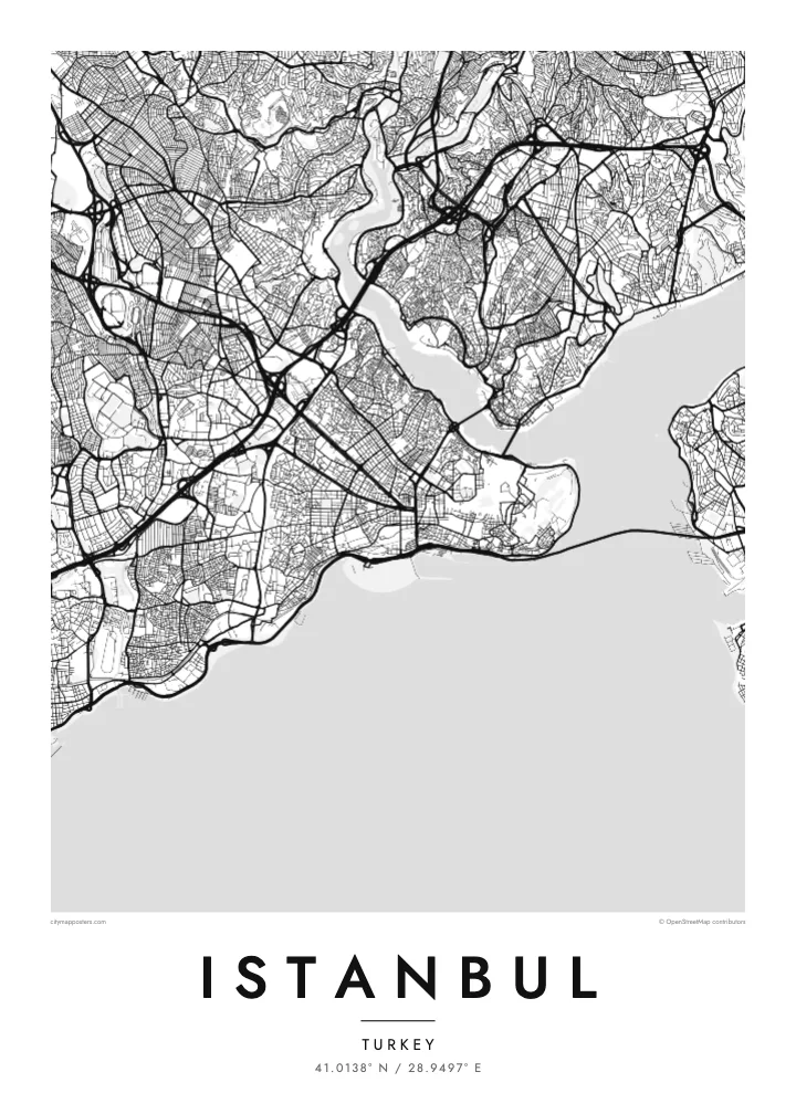
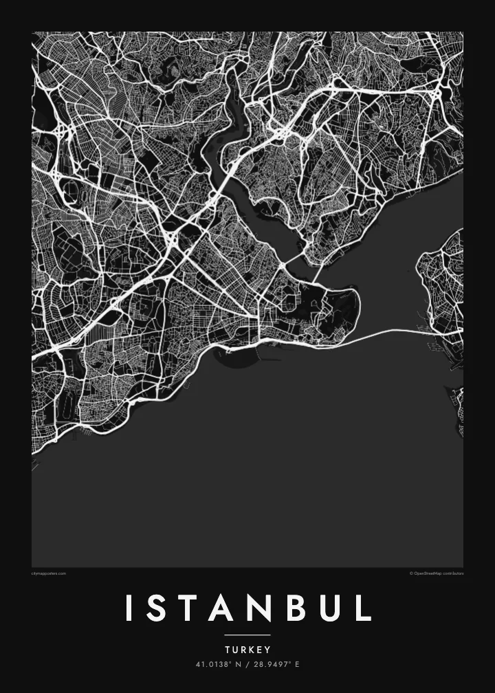
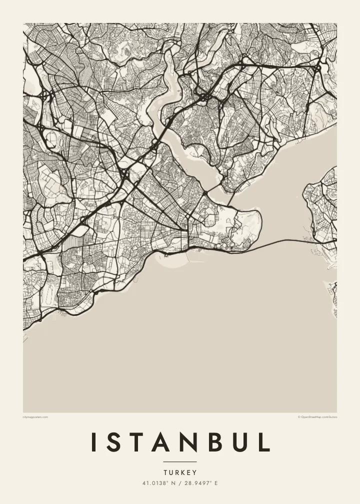

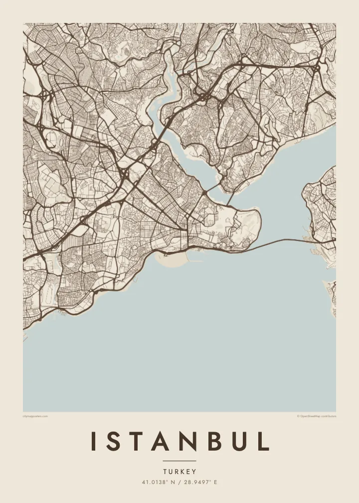
Taha e taone, lima e onoonoaga
Tapaki e taha puhala ke kitia ai ki luga he puipui. Kua tatai e totogi he tau puhala oti — pete he lolomi, poloka, po ke faila HD.
 Tau pikselo mooli · faila lolomi 24 × 36″
Maama mitaki ke lolomi
Ko e 100% e fahi mooli mai he faila lolomi. Ko e tau poster oti — pete kua lolomi, poloka, po ke utu hifo — kua taute ke he ha mautolu a tau tokoluga (server) ke he 300 DPI, hokotia ke he 7,200 × 10,800 piksela, ke maeke ai e tau ala ikiiki tote ke maaliali fakamitaki he lolomi 24 × 36″.
He Pā


Ko e mape
Istanbul is defined by three bodies of water. The Bosphorus strait runs north to south between Europe and Asia, the Golden Horn cuts a long curved inlet into the European side, and the Sea of Marmara lines the southern shore. Between them, the land breaks into distinct pieces, each with its own street pattern, and the city reads as a group of shores facing one another.
The historic peninsula, bounded by the Golden Horn and the Marmara, still carries the line of the Theodosian Walls along its landward side and a tangle of old streets around Hagia Sophia and the Grand Bazaar. Across the Galata Bridge, Beyoğlu climbs its hill. The Asian shore, with Üsküdar and Kadıköy, spreads more loosely, and suspension bridges span the Bosphorus further north.
As Byzantium, then Constantinople, the city served as a capital of the Roman, Byzantine and Ottoman empires for more than fifteen centuries. Its historic areas were inscribed as a UNESCO World Heritage Site in 1985. An Istanbul map poster makes the geography behind that history easy to see: a narrow strait, a sheltered harbour and a peninsula that was simple to defend.
A winding strait about 30 kilometres long separating the European and Asian shores. On the map it forms a clean dividing line, crossed by three suspension bridges between the Marmara and the Black Sea.
This horn-shaped inlet curves north-west from the Bosphorus, separating the historic peninsula from Galata and Beyoğlu. Its outline is one of the most recognisable shapes on any map of the city.
The fifth-century land walls run from the Golden Horn to the Sea of Marmara, marking the western edge of the old city as a long, slightly curving line.
Taute ke ha hau
Lafi e aho, taha higoa po ke taha kupu haau, hiki e fakatino, lahi po ke tuaga.
Ko e kitiaaga nakai totogi kua tote e maaliali mo e fakamailoga vai. Ko e tau lolomi mo e tau faila HD kua taute ke he 300 DPI, hokotia ke he 7,200 × 10,800 px, nakai fai fakamailoga vai.
Ko e ha Istanbul
Istanbul is a map for people who have crossed between its shores by ferry, lived on one side and worked on the other, or simply remember the view from a hill above the water. The coastlines alone make a composition that needs no explanation.
Set the title as Istanbul or a single neighbourhood, add a subtitle with a date or a name, and choose how the coordinates appear. The poster comes in Classic black & white, Noir, Paper, Blueprint and Sand, as instant HD files or printed and shipped.
Talaage e poster Istanbul| Lahi he lolomi | Maama | Tau faila |
|---|---|---|
| 30 × 40 cm11.8 × 15.7″ | 3,543 × 4,724 px | PNG · PDF |
| 29.7 × 42 cm (A3)11.7 × 16.5″ | 3,508 × 4,961 px | PNG · PDF |
| 42 × 59.4 cm (A2)16.5 × 23.4″ | 4,961 × 7,016 px | PNG · PDF |
| 45.7 × 61 cm18 × 24″ | 5,400 × 7,200 px | PNG · PDF |
| 50 × 70 cm19.7 × 27.6″ | 5,906 × 8,268 px | PNG · PDF |
| 61 × 91.4 cm24 × 36″ | 7,200 × 10,800 px | PNG · PDF |
Ke fakatatai, ko e fakatino noa kua 900 px e laulahi, fai fakamailoga mo e mo e tau mata komipiuta ni. Ko e tau faila HD kua ato hoko ke he 8× e maama ke he tau faahi takitaha mo e lolomi mitaki he lahi katoa he fakatino.
Fifili e taha puhala i luga he kupega, ti fifili e Poster Lolomi — e lahi mo e, kaeke ke manako ai koe, taha poloka — po ke Tau Faila HD Fakaeletonika. Ko e fakaotiaga totogi ko e taha gahua ni, ti ko e kupega he hau a talaaga ka fakafou fakahaga i mua he fakaotiaga e totogi.
Kua lolomi ai ke he pepa mitaki 200 gsm matte he taha he tau lahi ono, mai he 30 × 40 cm ke hoko ke he 24 × 36″. Kamata e tau poster lolomi mai he $39, kua putoia ai e utaaga.
E. Fifili e poloka akau malolō ke he lanu uli, tea, akau oki mooli, po ke akau pouli. Kua fakalataha mo e sioga malolō nakai malepe ti kua mautali ke tautau. Kamata e tau poster poloka mai he $99, kua putoia ai e utaaga.
Nakai totogi e fakafano ke he motu 60+. Ko e fakatino taha kua lolomi he fenoga lolomi ha mautolu kua tata mo e tau motu 30+, kua hoko mai he tau aho gahua 3–7. Maeke ia koe ke kikite e tuaga mo e fakamuitua he lalo he Haku Tau Fakatonu. Ke he falu motu kua 2–5 e tau tapu, ti ka nakai fakafano a mautolu ki ai, to fakaha he api tupe ia ki mua he totogi.
Fakafano mai e taha ata ki a mautolu he loto he 14 e tau aho tali mai he hokoaga, ti to lolomi foki e mautolu nakai totogi po ke liu atu e totogi ki a koe.
E. He editor i luga he kupega nei, hikihiki e matakupu, e matakupu lalo mo e laini coordinates ke he taha mena kua manako a koe ki ai, ti fifili e puhala mo e lahi. Ko e tau talaaga lolomi, poloka mo e fakaeletonika oti kua fakaaoga tonu e hau a fakatino.
Ma e $9 ka moua e koe e tau faila PNG 300 DPI mo e PDF kua mautali ke lolomi he tau lahi ono oti, nakai fai fakamailoga vai, ke lolomi i fe mena. Nakai maopoopo agaia? Utu hifo fakamua e kitiaaga nakai totogi ne fai fakamailoga vai.
Tata mai
