Pool Malebo
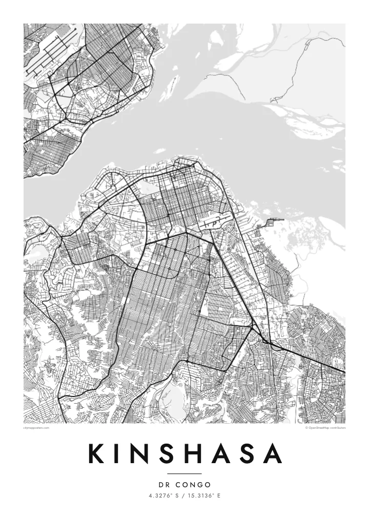
The Congo River spreads into a wide basin here, broken by long, low islands. It fills the northern side of the map and separates Kinshasa from Brazzaville on the opposite shore.
Fakatino mape mukamuka · Congo - Kinshasa
4.3276° S / 15.3136° E
A vast city spread along the south bank of the Congo River, facing Brazzaville across the water at Pool Malebo


Taha e taone, lima e onoonoaga
Tapaki e taha puhala ke kitia ai ki luga he puipui. Kua tatai e totogi he tau puhala oti — pete he lolomi, poloka, po ke faila HD.
 Tau pikselo mooli · faila lolomi 24 × 36″
Maama mitaki ke lolomi
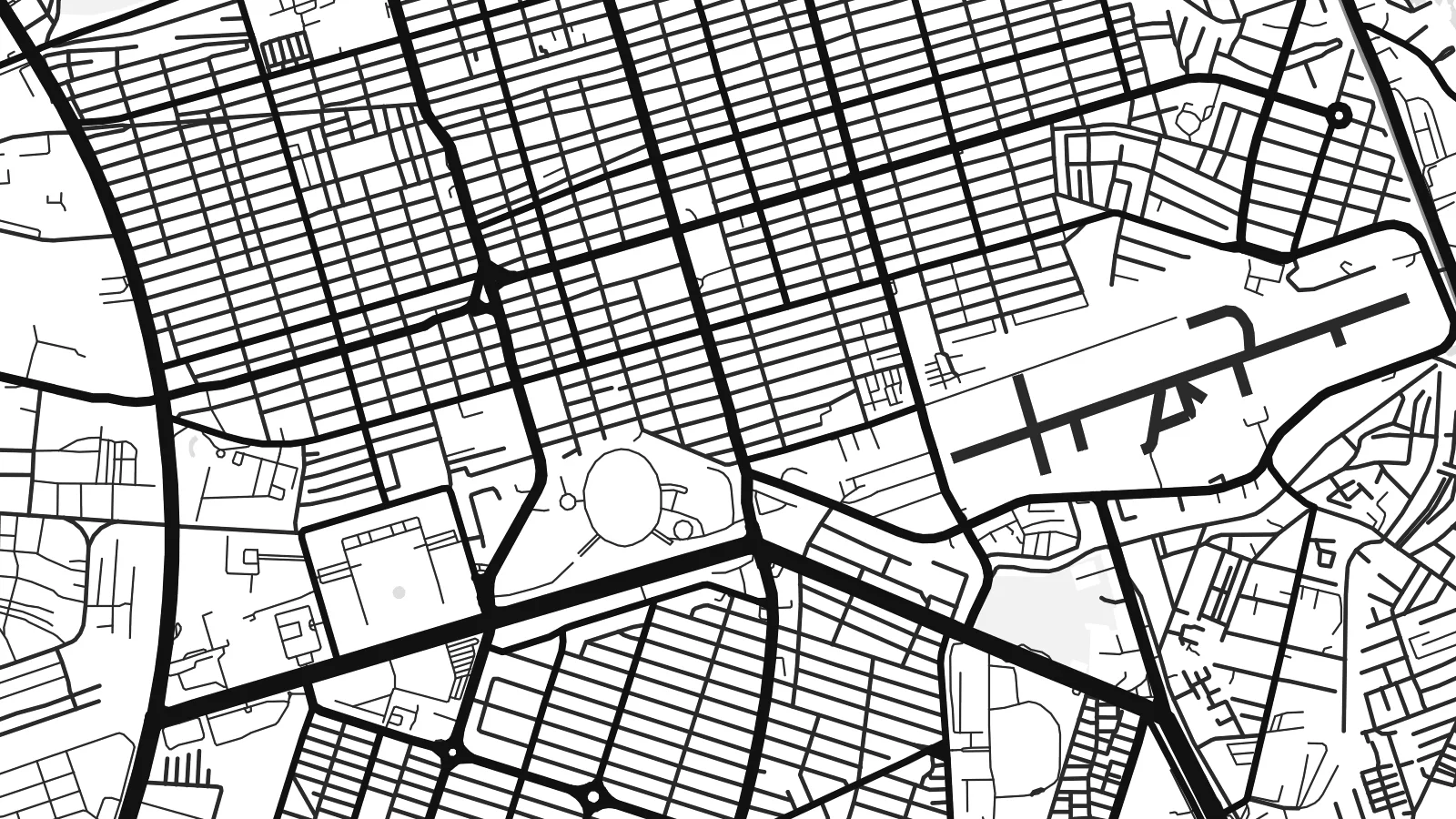
Ko e 100% e fahi mooli mai he faila lolomi. Ko e tau poster oti — pete kua lolomi, poloka, po ke utu hifo — kua taute ke he ha mautolu a tau tokoluga (server) ke he 300 DPI, hokotia ke he 7,200 × 10,800 piksela, ke maeke ai e tau ala ikiiki tote ke maaliali fakamitaki he lolomi 24 × 36″.
He Pā


Ko e mape
Kinshasa lies where the Congo River widens into Pool Malebo, a broad, lake-like stretch dotted with islands, before narrowing again into rapids downstream. The city runs along the southern shore, with the administrative district of Gombe on the riverfront and neighbourhoods fanning out south and east over a wide plain. On a map, the river is the dominant form: a large, calm expanse along the top of the frame.
Gombe has the most regular streets, with the Boulevard du 30 Juin running roughly parallel to the river as the city’s main avenue. Beyond it, the communes form a dense, repeating texture of small blocks that extends toward N’djili Airport in the east. Low hills rise on the southern and western edges, and the Ngaliema area overlooks the river where it begins to fall toward the Livingstone rapids.
The city began as a trading post named Léopoldville, founded in 1881, and took the name Kinshasa in 1966. Across the river stands Brazzaville, capital of the Republic of the Congo, making the two among the closest pairs of national capitals in the world. A Kinshasa map poster can show both banks, a rare view of two capitals sharing one stretch of water.
The Congo River spreads into a wide basin here, broken by long, low islands. It fills the northern side of the map and separates Kinshasa from Brazzaville on the opposite shore.
The city’s principal avenue runs through Gombe close to the river, a long straight line that anchors the more regular street plan of the central district.
South and east of the centre, the communes spread across the plain as a fine, even grain of streets, giving the map a rich texture that continues almost to the edges of the frame.
Taute ke ha hau
Lafi e aho, taha higoa po ke taha kupu haau, hiki e fakatino, lahi po ke tuaga.
Ko e kitiaaga nakai totogi kua tote e maaliali mo e fakamailoga vai. Ko e tau lolomi mo e tau faila HD kua taute ke he 300 DPI, hokotia ke he 7,200 × 10,800 px, nakai fai fakamailoga vai.
Ko e ha Kinshasa
For many people Kinshasa is home, even from far away, and a map is one of the quietest ways to keep it present. The river, the long boulevard and the wide neighbourhood grid make a composition that belongs to this city and no other.
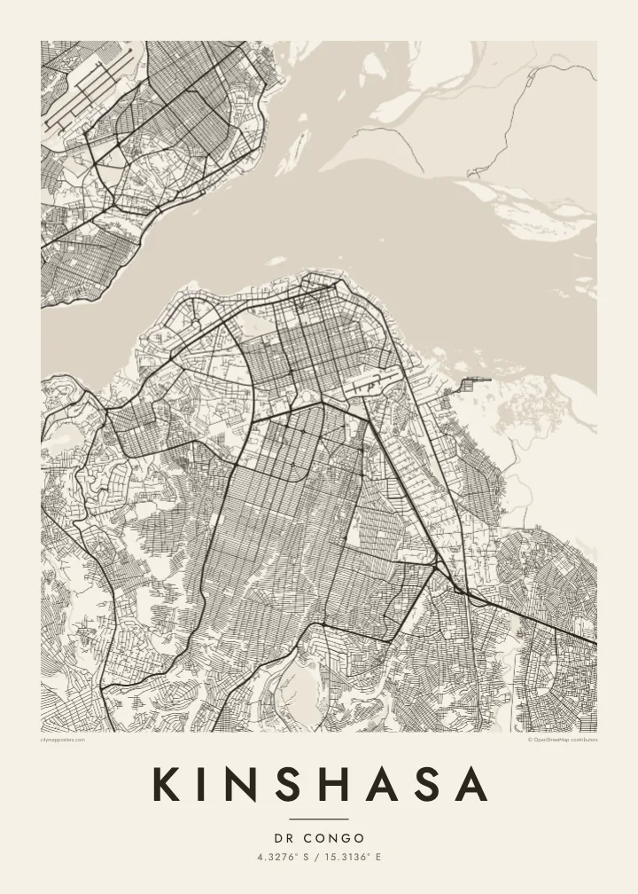
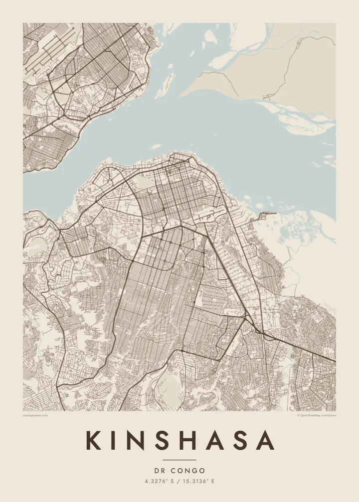
Write the name of your commune or your family in the title, add a date to the subtitle and keep or edit the coordinates line. Five styles are on offer, from Classic black & white and Noir to Paper, Blueprint and Sand.
Talaage e poster Kinshasa| Lahi he lolomi | Maama | Tau faila |
|---|---|---|
| 30 × 40 cm11.8 × 15.7″ | 3,543 × 4,724 px | PNG · PDF |
| 29.7 × 42 cm (A3)11.7 × 16.5″ | 3,508 × 4,961 px | PNG · PDF |
| 42 × 59.4 cm (A2)16.5 × 23.4″ | 4,961 × 7,016 px | PNG · PDF |
| 45.7 × 61 cm18 × 24″ | 5,400 × 7,200 px | PNG · PDF |
| 50 × 70 cm19.7 × 27.6″ | 5,906 × 8,268 px | PNG · PDF |
| 61 × 91.4 cm24 × 36″ | 7,200 × 10,800 px | PNG · PDF |
Ke fakatatai, ko e fakatino noa kua 900 px e laulahi, fai fakamailoga mo e mo e tau mata komipiuta ni. Ko e tau faila HD kua ato hoko ke he 8× e maama ke he tau faahi takitaha mo e lolomi mitaki he lahi katoa he fakatino.
Fifili e taha puhala i luga he kupega, ti fifili e Poster Lolomi — e lahi mo e, kaeke ke manako ai koe, taha poloka — po ke Tau Faila HD Fakaeletonika. Ko e fakaotiaga totogi ko e taha gahua ni, ti ko e kupega he hau a talaaga ka fakafou fakahaga i mua he fakaotiaga e totogi.
Kua lolomi ai ke he pepa mitaki 200 gsm matte he taha he tau lahi ono, mai he 30 × 40 cm ke hoko ke he 24 × 36″. Kamata e tau poster lolomi mai he $39, kua putoia ai e utaaga.
E. Fifili e poloka akau malolō ke he lanu uli, tea, akau oki mooli, po ke akau pouli. Kua fakalataha mo e sioga malolō nakai malepe ti kua mautali ke tautau. Kamata e tau poster poloka mai he $99, kua putoia ai e utaaga.
Nakai totogi e fakafano ke he motu 60+. Ko e fakatino taha kua lolomi he fenoga lolomi ha mautolu kua tata mo e tau motu 30+, kua hoko mai he tau aho gahua 3–7. Maeke ia koe ke kikite e tuaga mo e fakamuitua he lalo he Haku Tau Fakatonu. Ke he falu motu kua 2–5 e tau tapu, ti ka nakai fakafano a mautolu ki ai, to fakaha he api tupe ia ki mua he totogi.
Fakafano mai e taha ata ki a mautolu he loto he 14 e tau aho tali mai he hokoaga, ti to lolomi foki e mautolu nakai totogi po ke liu atu e totogi ki a koe.
E. He editor i luga he kupega nei, hikihiki e matakupu, e matakupu lalo mo e laini coordinates ke he taha mena kua manako a koe ki ai, ti fifili e puhala mo e lahi. Ko e tau talaaga lolomi, poloka mo e fakaeletonika oti kua fakaaoga tonu e hau a fakatino.
Ma e $9 ka moua e koe e tau faila PNG 300 DPI mo e PDF kua mautali ke lolomi he tau lahi ono oti, nakai fai fakamailoga vai, ke lolomi i fe mena. Nakai maopoopo agaia? Utu hifo fakamua e kitiaaga nakai totogi ne fai fakamailoga vai.
