The upper Lualaba
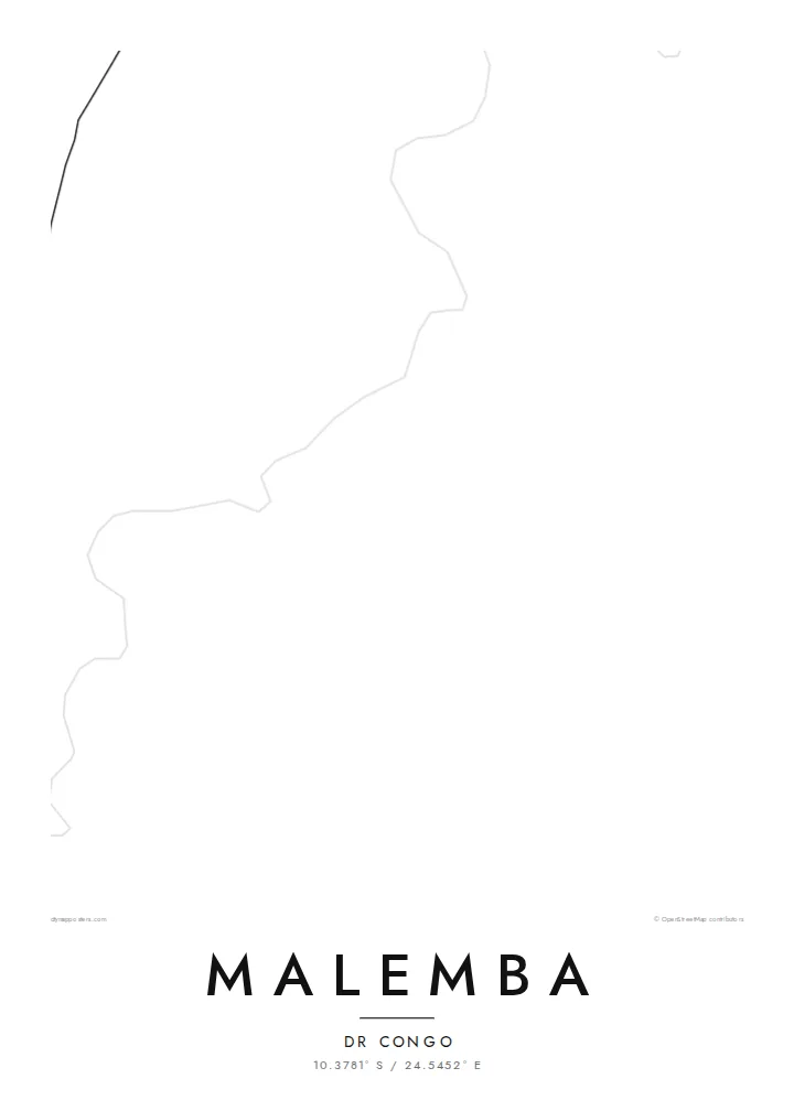
The river that later becomes the Congo passes the town as a broad, shifting line. It is the widest and most defining shape on the map and anchors the whole composition.
Fakatino mape mukamuka · Congo - Kinshasa
10.3781° S / 24.5452° E
A river town drawn along the upper Lualaba, where channels, marsh and scattered lanes meet the open savanna.


Taha e taone, lima e onoonoaga
Tapaki e taha puhala ke kitia ai ki luga he puipui. Kua tatai e totogi he tau puhala oti — pete he lolomi, poloka, po ke faila HD.
 Tau pikselo mooli · faila lolomi 24 × 36″
Maama mitaki ke lolomi
Ko e 100% e fahi mooli mai he faila lolomi. Ko e tau poster oti — pete kua lolomi, poloka, po ke utu hifo — kua taute ke he ha mautolu a tau tokoluga (server) ke he 300 DPI, hokotia ke he 7,200 × 10,800 piksela, ke maeke ai e tau ala ikiiki tote ke maaliali fakamitaki he lolomi 24 × 36″.
He Pā


Ko e mape
Malemba sits on the upper Lualaba, the long headstream of the Congo, in the south-east of the Democratic Republic of the Congo. From above, the river sets the scene. It is a wide ribbon edged by wetland, and the town's lanes run back from its bank toward drier ground. Few maps of central Africa show this much water and this little pavement in the same frame.
The surrounding country is low and flat. It belongs to a basin of lakes, swamps and seasonal floodplains, and protected land lies not far away. On a map this becomes a soft pattern of braided channels and pale open ground. The built area is a compact cluster of tracks and plots rather than a dense grid, so the river remains the strongest line on the sheet.
A Malemba map poster suits anyone who knows the place through the river: the landings, the water level after the rains, the distances measured in hours by boat rather than kilometres by road. Reduced to black lines on white, the town is modest and the water is generous. That balance is honest about how Malemba sits in its landscape.
The river that later becomes the Congo passes the town as a broad, shifting line. It is the widest and most defining shape on the map and anchors the whole composition.
Marsh and floodplain press close to the settlement. On the poster they read as fine, irregular edges where the land and the water never quite agree on a boundary.
Instead of a formal grid, the town is a loose web of tracks and lanes. The open spaces between them keep the design light and airy.
Taute ke ha hau
Lafi e aho, taha higoa po ke taha kupu haau, hiki e fakatino, lahi po ke tuaga.
Ko e kitiaaga nakai totogi kua tote e maaliali mo e fakamailoga vai. Ko e tau lolomi mo e tau faila HD kua taute ke he 300 DPI, hokotia ke he 7,200 × 10,800 px, nakai fai fakamailoga vai.
Ko e ha Malemba
People hang a map of Malemba to keep a river town close after moving away, or to mark years of work in the region. A title such as a family name or the year of a first journey turns the sheet into a record that belongs to one person.
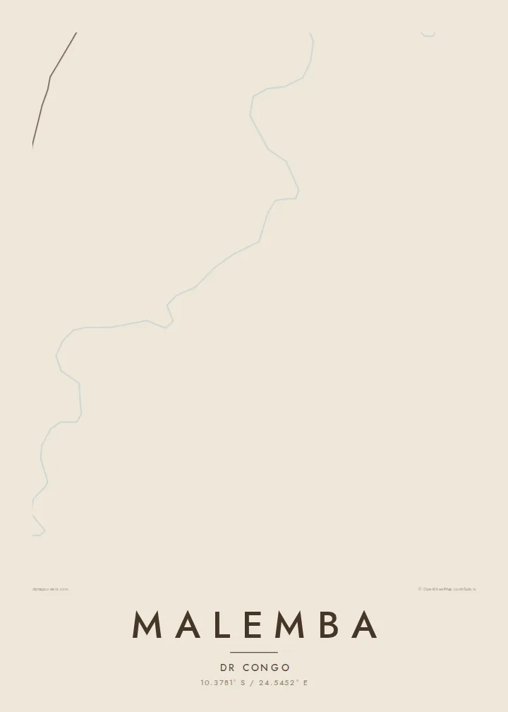
The layout comes in five styles: Classic black & white, Noir, Paper, Blueprint and Sand. Sand and Paper suit the warm tones of savanna country. The title, subtitle and coordinates line can all be edited before you download the HD file or order a print.
Talaage e poster Malemba| Lahi he lolomi | Maama | Tau faila |
|---|---|---|
| 30 × 40 cm11.8 × 15.7″ | 3,543 × 4,724 px | PNG · PDF |
| 29.7 × 42 cm (A3)11.7 × 16.5″ | 3,508 × 4,961 px | PNG · PDF |
| 42 × 59.4 cm (A2)16.5 × 23.4″ | 4,961 × 7,016 px | PNG · PDF |
| 45.7 × 61 cm18 × 24″ | 5,400 × 7,200 px | PNG · PDF |
| 50 × 70 cm19.7 × 27.6″ | 5,906 × 8,268 px | PNG · PDF |
| 61 × 91.4 cm24 × 36″ | 7,200 × 10,800 px | PNG · PDF |
Ke fakatatai, ko e fakatino noa kua 900 px e laulahi, fai fakamailoga mo e mo e tau mata komipiuta ni. Ko e tau faila HD kua ato hoko ke he 8× e maama ke he tau faahi takitaha mo e lolomi mitaki he lahi katoa he fakatino.
Fifili e taha puhala i luga he kupega, ti fifili e Poster Lolomi — e lahi mo e, kaeke ke manako ai koe, taha poloka — po ke Tau Faila HD Fakaeletonika. Ko e fakaotiaga totogi ko e taha gahua ni, ti ko e kupega he hau a talaaga ka fakafou fakahaga i mua he fakaotiaga e totogi.
Kua lolomi ai ke he pepa mitaki 200 gsm matte he taha he tau lahi ono, mai he 30 × 40 cm ke hoko ke he 24 × 36″. Kamata e tau poster lolomi mai he $39, kua putoia ai e utaaga.
E. Fifili e poloka akau malolō ke he lanu uli, tea, akau oki mooli, po ke akau pouli. Kua fakalataha mo e sioga malolō nakai malepe ti kua mautali ke tautau. Kamata e tau poster poloka mai he $99, kua putoia ai e utaaga.
Nakai totogi e fakafano ke he motu 60+. Ko e fakatino taha kua lolomi he fenoga lolomi ha mautolu kua tata mo e tau motu 30+, kua hoko mai he tau aho gahua 3–7. Maeke ia koe ke kikite e tuaga mo e fakamuitua he lalo he Haku Tau Fakatonu. Ke he falu motu kua 2–5 e tau tapu, ti ka nakai fakafano a mautolu ki ai, to fakaha he api tupe ia ki mua he totogi.
Fakafano mai e taha ata ki a mautolu he loto he 14 e tau aho tali mai he hokoaga, ti to lolomi foki e mautolu nakai totogi po ke liu atu e totogi ki a koe.
E. He editor i luga he kupega nei, hikihiki e matakupu, e matakupu lalo mo e laini coordinates ke he taha mena kua manako a koe ki ai, ti fifili e puhala mo e lahi. Ko e tau talaaga lolomi, poloka mo e fakaeletonika oti kua fakaaoga tonu e hau a fakatino.
Ma e $9 ka moua e koe e tau faila PNG 300 DPI mo e PDF kua mautali ke lolomi he tau lahi ono oti, nakai fai fakamailoga vai, ke lolomi i fe mena. Nakai maopoopo agaia? Utu hifo fakamua e kitiaaga nakai totogi ne fai fakamailoga vai.
