Channel to Miyajima
A slim stretch of the Inland Sea separates the mainland from the island, giving the map a strong horizontal band of open water between two landmasses.
Fakatino mape mukamuka · Japan
34.2833° N / 132.2667° E
A narrow coastal strip on the Hiroshima mainland, facing the island of Miyajima across a slim channel of sea


Taha e taone, lima e onoonoaga
Tapaki e taha puhala ke kitia ai ki luga he puipui. Kua tatai e totogi he tau puhala oti — pete he lolomi, poloka, po ke faila HD.
 Tau pikselo mooli · faila lolomi 24 × 36″
Maama mitaki ke lolomi
Ko e 100% e fahi mooli mai he faila lolomi. Ko e tau poster oti — pete kua lolomi, poloka, po ke utu hifo — kua taute ke he ha mautolu a tau tokoluga (server) ke he 300 DPI, hokotia ke he 7,200 × 10,800 piksela, ke maeke ai e tau ala ikiiki tote ke maaliali fakamitaki he lolomi 24 × 36″.
He Pā


Ko e mape
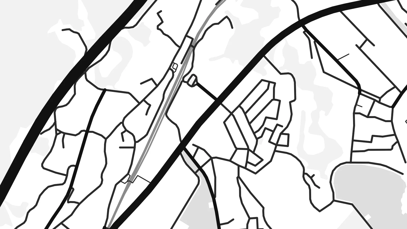
Ōno lies on the western shore of Hiroshima Bay, now part of the city of Hatsukaichi. On a map the town is a long, thin ribbon of streets squeezed between the Seto Inland Sea and steep wooded hills, with the railway and coastal road running parallel to the shore and short side streets climbing briefly before the slopes take over.
Across the water sits Itsukushima, better known as Miyajima, whose forested outline fills part of the frame. That pairing of mainland strip and island gives an Ōno-hara map poster an unusual balance: a dense line of settlement on one side, a quiet mountainous island on the other, and a narrow band of water between them.
The ferries to Miyajima leave from this stretch of coast, so many visitors pass through without noticing the town itself. The island's shrine, with its famous torii standing in the water, is a UNESCO World Heritage Site and one of the most recognised views in Japan.
A slim stretch of the Inland Sea separates the mainland from the island, giving the map a strong horizontal band of open water between two landmasses.
Transport lines run tightly along the shoreline, parallel to the water, forming long unbroken strokes that define the length of the town.
Wooded slopes rise quickly inland, so settlement stays on the narrow coastal flats and the upper part of the print remains open and calm.
Taute ke ha hau
Lafi e aho, taha higoa po ke taha kupu haau, hiki e fakatino, lahi po ke tuaga.
Ko e kitiaaga nakai totogi kua tote e maaliali mo e fakamailoga vai. Ko e tau lolomi mo e tau faila HD kua taute ke he 300 DPI, hokotia ke he 7,200 × 10,800 px, nakai fai fakamailoga vai.
Ko e ha Ōno-hara
Many people know this coast as the gateway to Miyajima, and for residents it is home, with the island always on the horizon. A map of Ōno holds both the town and the view it looks out on.
You can edit the title, subtitle and coordinates line to mark a stay, a move or a family connection, and choose between Classic black & white, Noir, Paper, Blueprint and Sand.
Talaage e poster Ōno-hara| Lahi he lolomi | Maama | Tau faila |
|---|---|---|
| 30 × 40 cm11.8 × 15.7″ | 3,543 × 4,724 px | PNG · PDF |
| 29.7 × 42 cm (A3)11.7 × 16.5″ | 3,508 × 4,961 px | PNG · PDF |
| 42 × 59.4 cm (A2)16.5 × 23.4″ | 4,961 × 7,016 px | PNG · PDF |
| 45.7 × 61 cm18 × 24″ | 5,400 × 7,200 px | PNG · PDF |
| 50 × 70 cm19.7 × 27.6″ | 5,906 × 8,268 px | PNG · PDF |
| 61 × 91.4 cm24 × 36″ | 7,200 × 10,800 px | PNG · PDF |
Ke fakatatai, ko e fakatino noa kua 900 px e laulahi, fai fakamailoga mo e mo e tau mata komipiuta ni. Ko e tau faila HD kua ato hoko ke he 8× e maama ke he tau faahi takitaha mo e lolomi mitaki he lahi katoa he fakatino.
Fifili e taha puhala i luga he kupega, ti fifili e Poster Lolomi — e lahi mo e, kaeke ke manako ai koe, taha poloka — po ke Tau Faila HD Fakaeletonika. Ko e fakaotiaga totogi ko e taha gahua ni, ti ko e kupega he hau a talaaga ka fakafou fakahaga i mua he fakaotiaga e totogi.
Kua lolomi ai ke he pepa mitaki 200 gsm matte he taha he tau lahi ono, mai he 30 × 40 cm ke hoko ke he 24 × 36″. Kamata e tau poster lolomi mai he $39, kua putoia ai e utaaga.
E. Fifili e poloka akau malolō ke he lanu uli, tea, akau oki mooli, po ke akau pouli. Kua fakalataha mo e sioga malolō nakai malepe ti kua mautali ke tautau. Kamata e tau poster poloka mai he $99, kua putoia ai e utaaga.
Nakai totogi e fakafano ke he motu 60+. Ko e fakatino taha kua lolomi he fenoga lolomi ha mautolu kua tata mo e tau motu 30+, kua hoko mai he tau aho gahua 3–7. Maeke ia koe ke kikite e tuaga mo e fakamuitua he lalo he Haku Tau Fakatonu. Ke he falu motu kua 2–5 e tau tapu, ti ka nakai fakafano a mautolu ki ai, to fakaha he api tupe ia ki mua he totogi.
Fakafano mai e taha ata ki a mautolu he loto he 14 e tau aho tali mai he hokoaga, ti to lolomi foki e mautolu nakai totogi po ke liu atu e totogi ki a koe.
E. He editor i luga he kupega nei, hikihiki e matakupu, e matakupu lalo mo e laini coordinates ke he taha mena kua manako a koe ki ai, ti fifili e puhala mo e lahi. Ko e tau talaaga lolomi, poloka mo e fakaeletonika oti kua fakaaoga tonu e hau a fakatino.
Ma e $9 ka moua e koe e tau faila PNG 300 DPI mo e PDF kua mautali ke lolomi he tau lahi ono oti, nakai fai fakamailoga vai, ke lolomi i fe mena. Nakai maopoopo agaia? Utu hifo fakamua e kitiaaga nakai totogi ne fai fakamailoga vai.
Tata mai
