Pioneer grid
Broad streets laid out on a compass-aligned grid form large, even blocks, a plan shared by many towns founded by Latter-day Saint settlers across the region.
Fakatino mape mukamuka · United States
43.8260° N / 111.7897° W
A wide-street grid on the upper Snake River Plain, anchored by a university campus and a temple on the hill.


Taha e taone, lima e onoonoaga
Tapaki e taha puhala ke kitia ai ki luga he puipui. Kua tatai e totogi he tau puhala oti — pete he lolomi, poloka, po ke faila HD.
 Tau pikselo mooli · faila lolomi 24 × 36″
Maama mitaki ke lolomi
Ko e 100% e fahi mooli mai he faila lolomi. Ko e tau poster oti — pete kua lolomi, poloka, po ke utu hifo — kua taute ke he ha mautolu a tau tokoluga (server) ke he 300 DPI, hokotia ke he 7,200 × 10,800 piksela, ke maeke ai e tau ala ikiiki tote ke maaliali fakamitaki he lolomi 24 × 36″.
He Pā


Ko e mape
Rexburg lies in south-eastern Idaho, on the upper Snake River Plain, with the Teton Range visible on the eastern horizon. Latter-day Saint settlers founded it in 1883, and its plan follows the pattern used in many of the towns they established. A regular grid of broad streets is aligned to the compass, with large square blocks that look notably spacious on a map.
The town is home to Brigham Young University–Idaho, whose campus covers a large area on rising ground near the centre, with the Rexburg Idaho Temple beside it. The Teton River runs along the northern side of town on its way to the Henrys Fork. In 1976, the collapse of the Teton Dam upstream sent floodwaters into the town, an event still remembered locally.
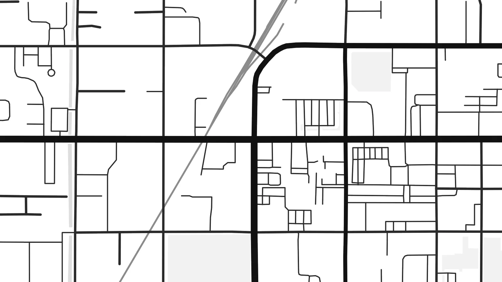
A Rexburg map poster shows the clarity of that original plan: straight streets, generous blocks, and the larger shapes of the campus and temple grounds. Around the town, the grid continues into farmland as section roads that run for miles in perfectly straight lines. In a minimal style, the result is orderly and open, much like the valley itself.
Broad streets laid out on a compass-aligned grid form large, even blocks, a plan shared by many towns founded by Latter-day Saint settlers across the region.
The university campus fills a substantial area near the centre, its buildings and open spaces standing out against the regular pattern of surrounding residential streets.
The Teton River runs along the northern side of town, a winding line that softens the otherwise strict geometry of streets and farm roads.
Taute ke ha hau
Lafi e aho, taha higoa po ke taha kupu haau, hiki e fakatino, lahi po ke tuaga.
Ko e kitiaaga nakai totogi kua tote e maaliali mo e fakamailoga vai. Ko e tau lolomi mo e tau faila HD kua taute ke he 300 DPI, hokotia ke he 7,200 × 10,800 px, nakai fai fakamailoga vai.
Ko e ha Rexburg
Students and graduates of BYU–Idaho often keep a map of Rexburg as a record of their years there, and families in Madison County hang it as a picture of home. It also makes a thoughtful gift for a graduation or a first move.
Personalise the title and subtitle with a name, a class year or a wedding date, and edit the coordinates line. Pick Classic black & white, Noir, Paper, Blueprint or Sand, and order a matte print or download the $9 HD files in six sizes.
Talaage e poster Rexburg| Lahi he lolomi | Maama | Tau faila |
|---|---|---|
| 30 × 40 cm11.8 × 15.7″ | 3,543 × 4,724 px | PNG · PDF |
| 29.7 × 42 cm (A3)11.7 × 16.5″ | 3,508 × 4,961 px | PNG · PDF |
| 42 × 59.4 cm (A2)16.5 × 23.4″ | 4,961 × 7,016 px | PNG · PDF |
| 45.7 × 61 cm18 × 24″ | 5,400 × 7,200 px | PNG · PDF |
| 50 × 70 cm19.7 × 27.6″ | 5,906 × 8,268 px | PNG · PDF |
| 61 × 91.4 cm24 × 36″ | 7,200 × 10,800 px | PNG · PDF |
Ke fakatatai, ko e fakatino noa kua 900 px e laulahi, fai fakamailoga mo e mo e tau mata komipiuta ni. Ko e tau faila HD kua ato hoko ke he 8× e maama ke he tau faahi takitaha mo e lolomi mitaki he lahi katoa he fakatino.
Fifili e taha puhala i luga he kupega, ti fifili e Poster Lolomi — e lahi mo e, kaeke ke manako ai koe, taha poloka — po ke Tau Faila HD Fakaeletonika. Ko e fakaotiaga totogi ko e taha gahua ni, ti ko e kupega he hau a talaaga ka fakafou fakahaga i mua he fakaotiaga e totogi.
Kua lolomi ai ke he pepa mitaki 200 gsm matte he taha he tau lahi ono, mai he 30 × 40 cm ke hoko ke he 24 × 36″. Kamata e tau poster lolomi mai he $39, kua putoia ai e utaaga.
E. Fifili e poloka akau malolō ke he lanu uli, tea, akau oki mooli, po ke akau pouli. Kua fakalataha mo e sioga malolō nakai malepe ti kua mautali ke tautau. Kamata e tau poster poloka mai he $99, kua putoia ai e utaaga.
Nakai totogi e fakafano ke he motu 60+. Ko e fakatino taha kua lolomi he fenoga lolomi ha mautolu kua tata mo e tau motu 30+, kua hoko mai he tau aho gahua 3–7. Maeke ia koe ke kikite e tuaga mo e fakamuitua he lalo he Haku Tau Fakatonu. Ke he falu motu kua 2–5 e tau tapu, ti ka nakai fakafano a mautolu ki ai, to fakaha he api tupe ia ki mua he totogi.
Fakafano mai e taha ata ki a mautolu he loto he 14 e tau aho tali mai he hokoaga, ti to lolomi foki e mautolu nakai totogi po ke liu atu e totogi ki a koe.
E. He editor i luga he kupega nei, hikihiki e matakupu, e matakupu lalo mo e laini coordinates ke he taha mena kua manako a koe ki ai, ti fifili e puhala mo e lahi. Ko e tau talaaga lolomi, poloka mo e fakaeletonika oti kua fakaaoga tonu e hau a fakatino.
Ma e $9 ka moua e koe e tau faila PNG 300 DPI mo e PDF kua mautali ke lolomi he tau lahi ono oti, nakai fai fakamailoga vai, ke lolomi i fe mena. Nakai maopoopo agaia? Utu hifo fakamua e kitiaaga nakai totogi ne fai fakamailoga vai.
Tata mai
