The Kame
A towering cliff on the west coast, among the highest in Britain, where the land drops almost vertically to the sea. On the map the contour lines crowd together sharply.
Poster minimalist cu hartă · Regatul Unit
60.1338° N / 2.0779° W
A small, high Shetland island rising to great western cliffs, with its few crofts spread along the eastern side.



Un oraș, cinci atmosfere
Atinge un stil ca să-l vezi pe perete. Toate stilurile costă la fel — tipărite, înrămate sau ca fișiere HD.
 Pixeli reali · fișier de print 24 × 36″
Clar la tipar
Acesta este un decupaj 100% din fișierul de print real. Fiecare poster — tipărit, înrămat sau descărcat — este randat pe serverele noastre la 300 DPI, până la 7,200 × 10,800 pixeli, ca și cele mai fine străzi să rămână clare la un print de 24 × 36″.
Pe perete


Harta
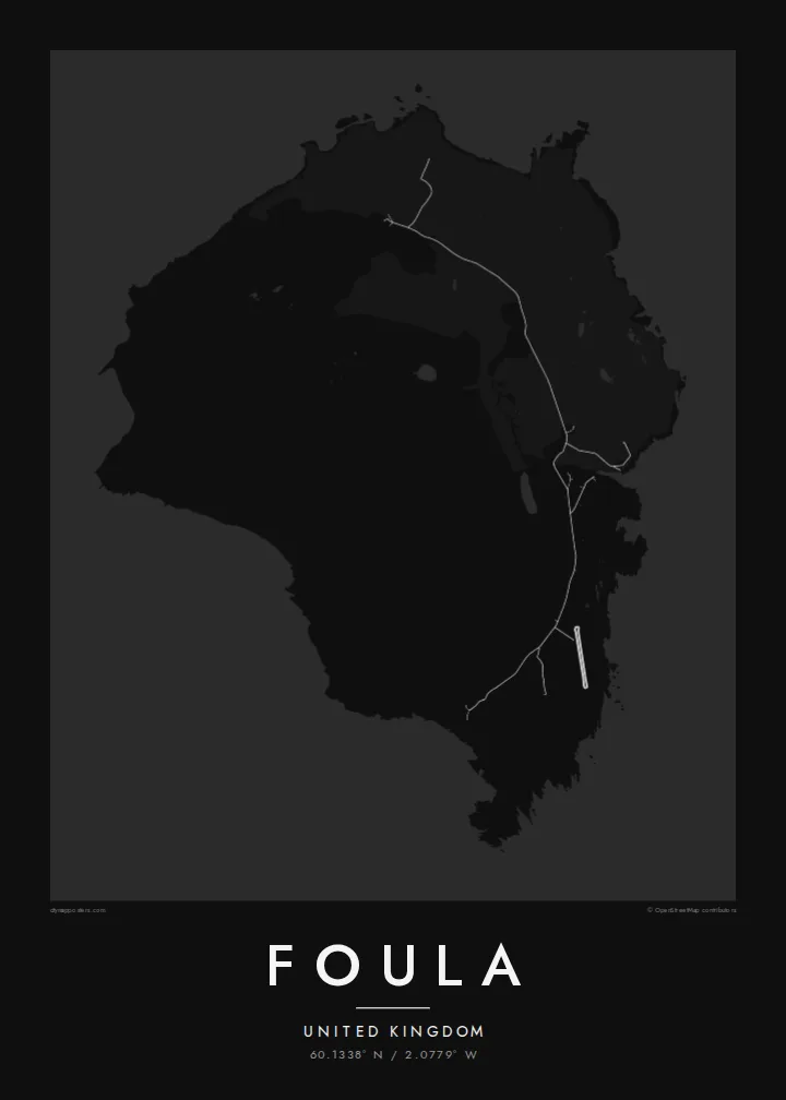
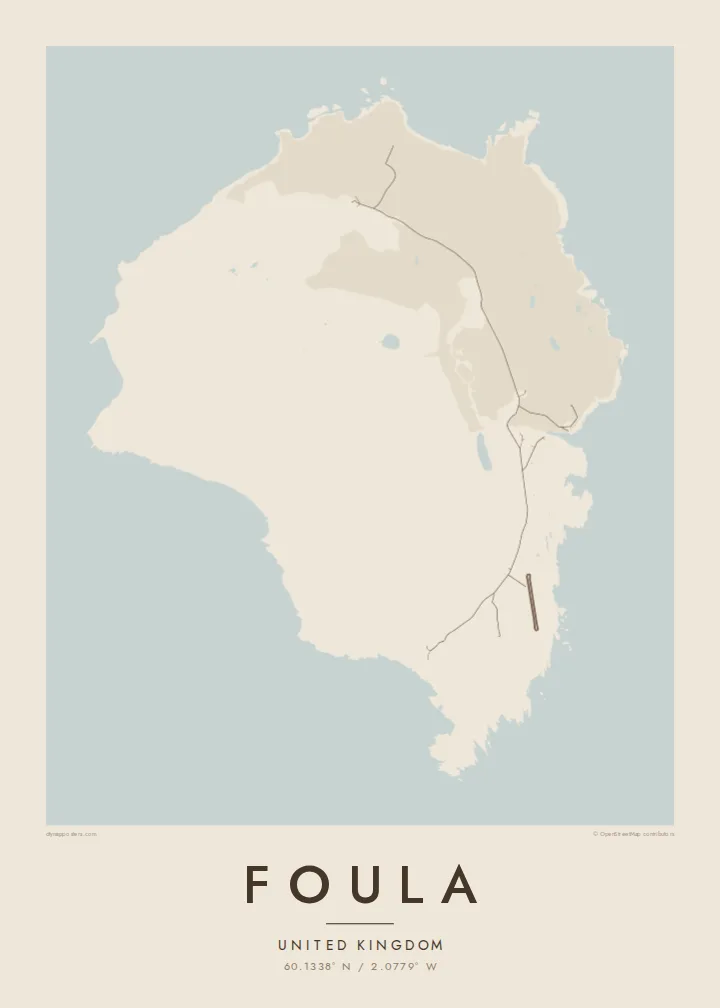
Foula lies well west of mainland Shetland and is one of the most remote inhabited islands in Britain. On a map it is a compact, rounded block of land, but the relief tells the real story. High hills rise steeply toward the west and end in sheer sea cliffs. The eastern side slopes gently down to the shore, where the crofts and the small harbour are.
The Kame, on the west coast, is among the highest sea cliffs in the United Kingdom. The hills and moorland hold large seabird colonies, including great skuas. Foula also keeps an old custom: the community still follows the Julian calendar for its festive season and celebrates Christmas in early January.
Only a few dozen people live here, and the island is reached by a small ferry or light aircraft when the weather allows. A Foula map poster shows a place where human lines are few and faint. There is a single road along the east, and height, wind and the Atlantic shape almost everything else.
A towering cliff on the west coast, among the highest in Britain, where the land drops almost vertically to the sea. On the map the contour lines crowd together sharply.
The island's homes and fields are spread along the gentler east side. A single road links them and makes up nearly all of the map's human detail.
Several steep hills fill the heart of the island. They give the map strong relief and a sense of height that is unusual for such a small place.
Personalizează-l
Adaugă o dată, un nume sau un rând scris de tine, schimbă stilul, dimensiunea sau orientarea.
Previzualizarea gratuită are rezoluție redusă și filigran. Posterele tipărite și fișierele HD sunt randate la 300 DPI, până la 7,200 × 10,800 px, fără filigran.
De ce Foula
Foula draws people who love the far edges of the British Isles: birdwatchers, walkers and those with Shetland roots. Its high, lonely form gives the print real presence, even at the smallest size.
Personalise the title and subtitle with a name, a crossing date or a line of verse, keep the coordinates, and choose one of five styles. Order a matte poster, framed or unframed, or download the full set of HD files.
Comandă posterul Foula| Dimensiune tipar | Rezoluție | Fișiere |
|---|---|---|
| 30 × 40 cm (11.8 × 15.7″) | 3,543 × 4,724 px | PNG · PDF |
| 29.7 × 42 cm (A3, 11.7 × 16.5″) | 3,508 × 4,961 px | PNG · PDF |
| 42 × 59.4 cm (A2, 16.5 × 23.4″) | 4,961 × 7,016 px | PNG · PDF |
| 45.7 × 61 cm (18 × 24″) | 5,400 × 7,200 px | PNG · PDF |
| 50 × 70 cm (19.7 × 27.6″) | 5,906 × 8,268 px | PNG · PDF |
| 61 × 91.4 cm (24 × 36″) | 7,200 × 10,800 px | PNG · PDF |
Pentru comparație, previzualizarea gratuită are 900 px lățime, are filigran și este destinată ecranelor. Fișierele HD au o rezoluție de până la 8 ori mai mare pe fiecare direcție și se tipăresc impecabil la dimensiunea completă a posterului.
Alege un stil în partea de sus a paginii, apoi selectează Poster Tipărit — o dimensiune și, dacă vrei, o ramă — sau Fișiere Digitale HD. Plata se face într-un singur pas, iar pagina comenzii tale se actualizează imediat ce plata este confirmată.
Este tipărit pe hârtie mată premium de 200 g/m² în una din șase dimensiuni, de la 30 × 40 cm la 24 × 36″. Posterele tipărite pornesc de la $39, livrare inclusă.
Da. Alege o ramă din lemn masiv în negru, alb, stejar natural sau lemn închis la culoare. Vine cu geam antișoc și e gata de agățat pe perete. Posterele înrămate pornesc de la $99, livrare inclusă.
Livrarea este gratuită în toată lumea. Fiecare poster este tipărit de cel mai apropiat dintre partenerii noștri de tipar din peste 30 de țări și ajunge de obicei în 3–7 zile lucrătoare. Poți urmări starea comenzii și numărul de urmărire la Comenzile mele. Câteva țări necesită 2–5 săptămâni, iar acolo unde nu livrăm încă, site-ul te anunță înainte de plată.
Trimite-ne o poză în termen de 14 zile de la livrare și îl vom retipări gratuit sau îți vom returna banii.
Da. În editorul de pe această pagină, schimbă titlul, subtitlul și linia cu coordonatele cum dorești, apoi alege un stil și o dimensiune. Comenzile tipărite, înrămate și digitale folosesc exact designul tău.
Pentru $9 primești fișiere PNG la 300 DPI și PDF pregătite pentru print, în toate cele șase dimensiuni, fără filigran, gata de tipărit oriunde. Nu ești sigur încă? Descarcă mai întâi o previzualizare gratuită cu filigran.
În apropiere
