The Hai River
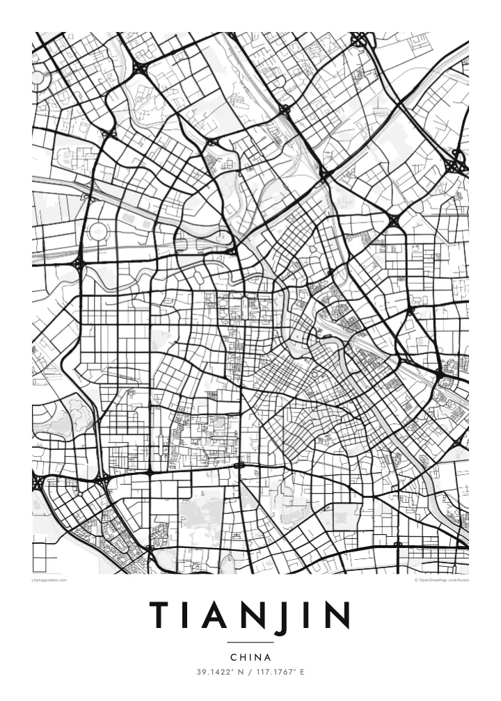
The river curves repeatedly through central Tianjin, forming loops and headlands that give the map its strongest shapes and connect the old city with the coast.
Posta faʻafanua faigofie · China
39.1422° N / 117.1767° E
A port city threaded by the winding Hai River, with former concession quarters laid out along its banks



Tasi le aai, lagona e lima
Tapi se sitaili e vaai ai i luga o le puipui. E tutusa uma le tau o sitaili — pe lolomiina, faapipiiina, pe avea ma faila HD.
 Pika Moni · Faila Lolomi 24 × 36″
Manino mo le lolomi
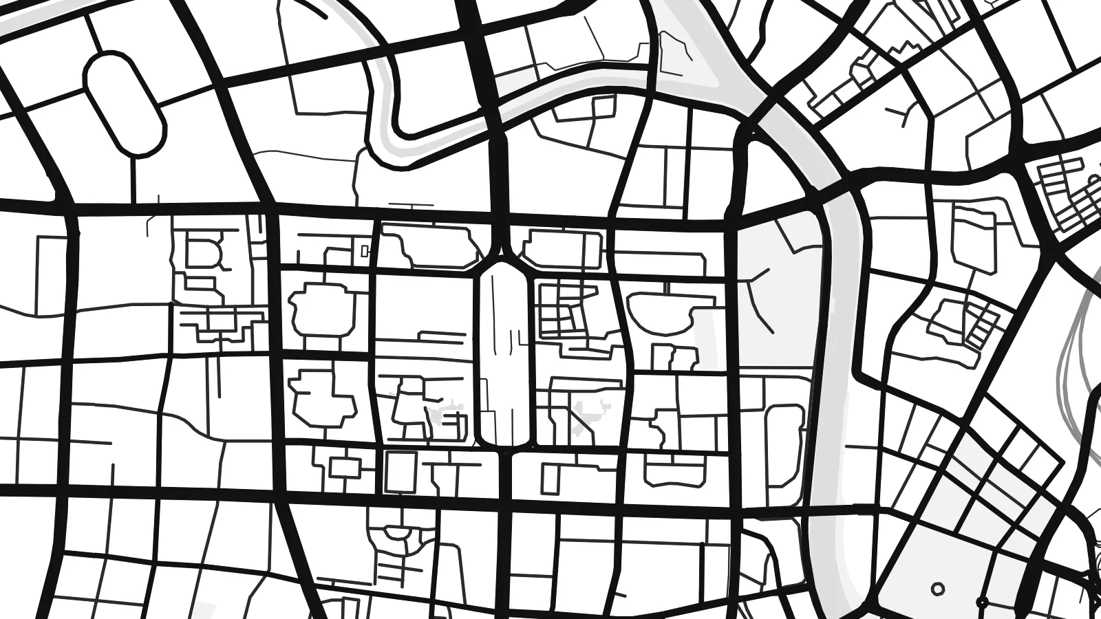
O se vaega atoa (100%) lenei mai le faila lolomi moni. O posita uma — pe lolomiina, faapipiiina pe download mai — e faia i luga o a matou server i le 300 DPI, e oo atu i le 7,200 × 10,800 pika, ina ia manino pea auala laiti i luga o se lolomiga 24 × 36″.
I luga o le puipui


Le faʻafanua
Tianjin grew where several rivers and the Grand Canal meet to form the Hai River, which then winds south-east through the city toward the Bohai Sea. That winding course is the central line on any map of Tianjin. Streets meet it at angles rather than in a single grid, so neighbourhoods on each bank follow their own orientation, and the result is a patchwork of plans joined by bridges.
Along the river lie the former foreign concessions, established in the late nineteenth and early twentieth centuries. The Five Great Avenues area, once part of the British concession, keeps a fine grid of tree-lined streets with European villas. Nearby, the Tianjin Eye, a Ferris wheel built into a bridge over the Hai River, marks one of the city’s crossings. Downstream, the Binhai New Area stretches out to the port.
Tianjin has long served as Beijing’s gateway to the sea, and high-speed trains now link the two cities in around half an hour. Its port is one of the busiest in northern China. A Tianjin map poster records a city shaped by trade, where concession-era blocks, older Chinese lanes and modern districts sit along the same river.
The river curves repeatedly through central Tianjin, forming loops and headlands that give the map its strongest shapes and connect the old city with the coast.
A compact grid of parallel roads and connecting streets in the former British concession, lined with early twentieth-century houses and clearly distinct from the surrounding blocks.
A large observation wheel mounted on the Yongle Bridge over the Hai River, one of very few Ferris wheels in the world built above a river crossing.
Fai mo oe
Faʻaopoopo se aso, se igoa po o sau lava upu, sui le sitaili, lapoʻa po o le itu.
O le preview e leai se totogi e maualalo le resolution ma iai se watermark. O lolomi ma faila HD e faia i le 300 DPI, e oo atu i le 7,200 × 10,800 px, e aunoa ma se watermark.
Aisea Tianjin
Tianjin suits people who know it beyond the commuter route from Beijing: former students, families from the old districts, anyone who has walked the concession streets. The winding river makes an elegant composition that feels calm on a wall.
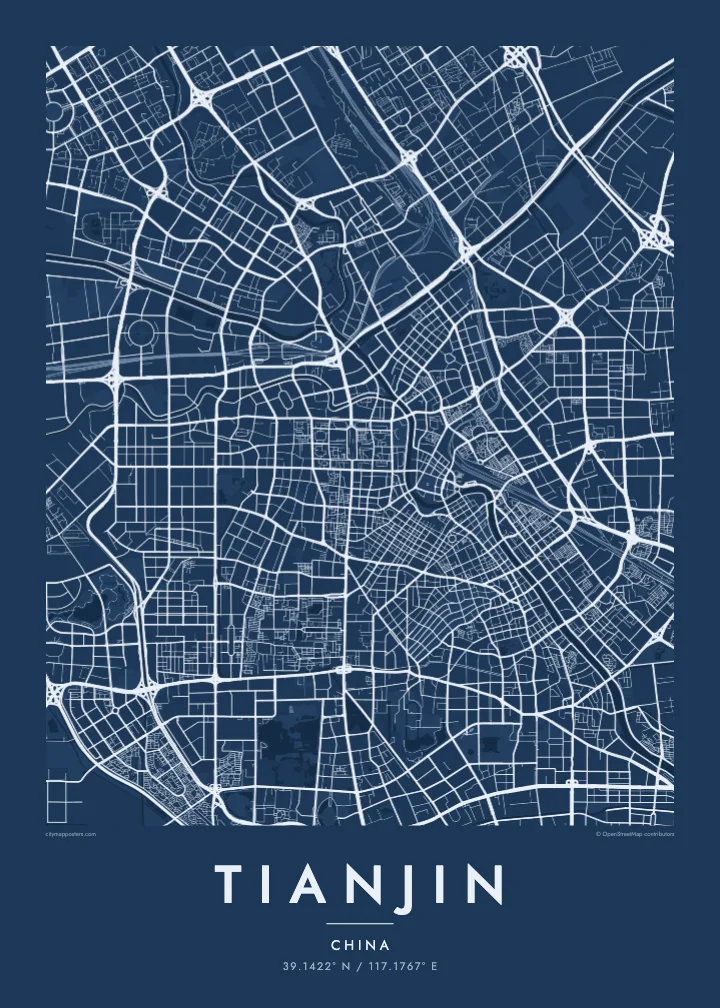
Add your own title and subtitle, perhaps a street name or a date, and edit the coordinates line. Classic black & white, Noir, Paper, Blueprint and Sand are the five available styles, delivered as print-ready files or as a printed poster, framed or unframed.
Faatau le posita Tianjin| Lapoʻa lolomi | Manino | Faila |
|---|---|---|
| 30 × 40 cm11.8 × 15.7″ | 3,543 × 4,724 px | PNG · PDF |
| 29.7 × 42 cm (A3)11.7 × 16.5″ | 3,508 × 4,961 px | PNG · PDF |
| 42 × 59.4 cm (A2)16.5 × 23.4″ | 4,961 × 7,016 px | PNG · PDF |
| 45.7 × 61 cm18 × 24″ | 5,400 × 7,200 px | PNG · PDF |
| 50 × 70 cm19.7 × 27.6″ | 5,906 × 8,268 px | PNG · PDF |
| 61 × 91.4 cm24 × 36″ | 7,200 × 10,800 px | PNG · PDF |
Ae faʻatusatusa, o le faʻataʻitaʻiga e leai se totogi e 900 px le lautele, e iai le faʻailoga vai ma e mo mata. O faila HD e oʻo atu i le 8× le manino i itu taʻitasi ma e lolomi manino i le lapoʻa atoa o le posta.
Filifili se sitaili i le pito i luga o le itulau, ona filifili lea o le Posita Lolomi — se lapopoa ma, afai e te fiafia, se faavaa — po o Faila HD Numera. E na o le tasi laasaga o le Checkout, ma o le a fesuia'i lou itulau o oka i le taimi lava e mae'a ai le totogi.
E lolomiina i luga o pepa matte maualuga le tulaga e 200 gsm, i se tasi o lapopoa e ono, mai le 30 × 40 cm i le 24 × 36″. E amata le tau o posita lolomi mai le $39, aofia ai le auina atu.
Ioe. Filifili se faavaa laau malosi i le lanu uliuli, sina, oak masani, po o le laau pogisa. E aofia ai se tioata e le gau ma ua saunia e tautau i luga. E amata le tau o posita faavaa mai le $99, aofia ai le auina atu.
E leai se totogi o le auina atu i atunuu e 60+. O pepa ata taʻitasi e lolomiina e le tasi o matou paaga lolomi e latalata mai i atunuu e 30+, ma e masani ona taunuu i le 3–7 aso faigaluega. E mafai ona e mulimulitaia le tulaga ma le sailiga i lalo o My Orders. O nisi atunuu e 2–5 vaiaso, ma i nofoaga e lei matou auina atu iai, e taʻu atu e le saite ia te oe a o lei totogi.
Auina mai se ata i totonu o le 14 aso talu ona taunuu, ma o le a matou toe lolomiina e leai se totogi po o le toe faafoi atu lau tupe.
Ioe. I totonu o le editor i lenei itulau, suia le ulutala, le ulutala laititi ma le laina o coordinates i soo se mea e te fiafia i ai, ma filifili se sitaili ma le lapopoa. O oka lolomi, faavaa ma numera e faaaoga uma lava lau mamanu.
Mo le $9 e te maua ai faila PNG 300 DPI ma PDF ua saunia mo le lolomi i lapopoa uma e ono, e aunoa ma se watermark, e mafai ona lolomi i soo se mea. Le mautinoa lava? Download muamua se preview e leai se totogi ma le watermark.
Latalata ane
