Desert grid
The central districts follow a regular pattern of straight streets and rectangular blocks, which reads on the poster as a crisp, well-defined shape against the empty plain.
Posta faʻafanua faigofie · Iran
29.4963° N / 60.8629° E
A desert grid on a high plain near Iran's borders with Pakistan and Afghanistan, with bare ridges rising nearby.
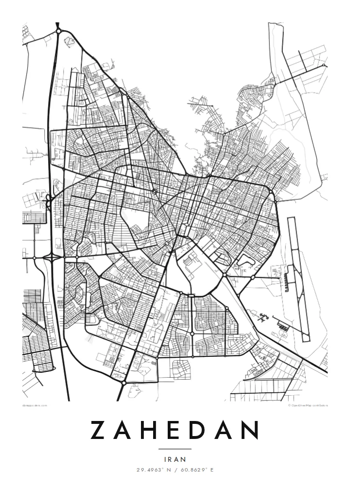
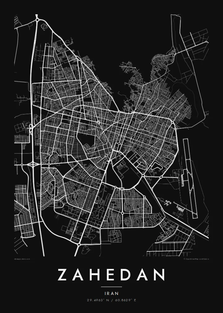


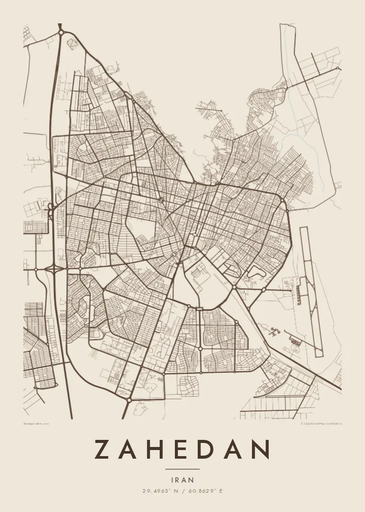
Tasi le aai, lagona e lima
Tapi se sitaili e vaai ai i luga o le puipui. E tutusa uma le tau o sitaili — pe lolomiina, faapipiiina, pe avea ma faila HD.
 Pika Moni · Faila Lolomi 24 × 36″
Manino mo le lolomi
O se vaega atoa (100%) lenei mai le faila lolomi moni. O posita uma — pe lolomiina, faapipiiina pe download mai — e faia i luga o a matou server i le 300 DPI, e oo atu i le 7,200 × 10,800 pika, ina ia manino pea auala laiti i luga o se lolomiga 24 × 36″.
I luga o le puipui


Le faʻafanua
Zahedan sits on an arid plateau in southeastern Iran, close to the point where the borders of Iran, Pakistan and Afghanistan meet. From above, the city is a broad, fairly regular grid of streets and blocks laid over flat desert ground, with long avenues crossing the centre and newer districts extending outward. Barren ridges rise at the edges of the plain, and highways lead off across open country.
The city was known as Duzdab until it was renamed Zahedan in the 1930s, and it grew in the twentieth century as a trading post and rail terminus, linked by a line to Quetta in Pakistan. Today it is the capital of Sistan and Baluchestan province, with a mixed Baluch and Persian population and a distinctive position between countries.
A Zahedan map poster shows a city whose clear plan contrasts with the emptiness around it. The grid forms a dense, orderly block, the roads spin out into the desert, and the surrounding hills are suggested by the absence of streets. In monochrome the result is spare and striking, a strong graphic image of a frontier city.
The central districts follow a regular pattern of straight streets and rectangular blocks, which reads on the poster as a crisp, well-defined shape against the empty plain.
Main roads leave the city toward Pakistan, Afghanistan and the Iranian interior, drawn as long lines running out to the edges of the frame.
The railway linking Zahedan to Quetta in Pakistan, and more recently to the Iranian network via Kerman, adds a smooth, continuous track to the map.
Fai mo oe
Faʻaopoopo se aso, se igoa po o sau lava upu, sui le sitaili, lapoʻa po o le itu.
O le preview e leai se totogi e maualalo le resolution ma iai se watermark. O lolomi ma faila HD e faia i le 300 DPI, e oo atu i le 7,200 × 10,800 px, e aunoa ma se watermark.
Aisea Zahedan
Zahedan holds personal meaning for Baluch and Persian families across Iran and the diaspora, and for travellers who passed through on the overland route to South Asia. The map is a quiet way to honour that place without relying on stereotypes.
Customise the title, subtitle and coordinates line, and choose Classic black & white, Noir, Paper, Blueprint or Sand. The $9 download provides six print sizes as 300 DPI PNG and print-ready PDF files, with no watermark on the final images.
Faatau le posita Zahedan| Lapoʻa lolomi | Manino | Faila |
|---|---|---|
| 30 × 40 cm11.8 × 15.7″ | 3,543 × 4,724 px | PNG · PDF |
| 29.7 × 42 cm (A3)11.7 × 16.5″ | 3,508 × 4,961 px | PNG · PDF |
| 42 × 59.4 cm (A2)16.5 × 23.4″ | 4,961 × 7,016 px | PNG · PDF |
| 45.7 × 61 cm18 × 24″ | 5,400 × 7,200 px | PNG · PDF |
| 50 × 70 cm19.7 × 27.6″ | 5,906 × 8,268 px | PNG · PDF |
| 61 × 91.4 cm24 × 36″ | 7,200 × 10,800 px | PNG · PDF |
Ae faʻatusatusa, o le faʻataʻitaʻiga e leai se totogi e 900 px le lautele, e iai le faʻailoga vai ma e mo mata. O faila HD e oʻo atu i le 8× le manino i itu taʻitasi ma e lolomi manino i le lapoʻa atoa o le posta.
Filifili se sitaili i le pito i luga o le itulau, ona filifili lea o le Posita Lolomi — se lapopoa ma, afai e te fiafia, se faavaa — po o Faila HD Numera. E na o le tasi laasaga o le Checkout, ma o le a fesuia'i lou itulau o oka i le taimi lava e mae'a ai le totogi.
E lolomiina i luga o pepa matte maualuga le tulaga e 200 gsm, i se tasi o lapopoa e ono, mai le 30 × 40 cm i le 24 × 36″. E amata le tau o posita lolomi mai le $39, aofia ai le auina atu.
Ioe. Filifili se faavaa laau malosi i le lanu uliuli, sina, oak masani, po o le laau pogisa. E aofia ai se tioata e le gau ma ua saunia e tautau i luga. E amata le tau o posita faavaa mai le $99, aofia ai le auina atu.
E leai se totogi o le auina atu i atunuu e 60+. O pepa ata taʻitasi e lolomiina e le tasi o matou paaga lolomi e latalata mai i atunuu e 30+, ma e masani ona taunuu i le 3–7 aso faigaluega. E mafai ona e mulimulitaia le tulaga ma le sailiga i lalo o My Orders. O nisi atunuu e 2–5 vaiaso, ma i nofoaga e lei matou auina atu iai, e taʻu atu e le saite ia te oe a o lei totogi.
Auina mai se ata i totonu o le 14 aso talu ona taunuu, ma o le a matou toe lolomiina e leai se totogi po o le toe faafoi atu lau tupe.
Ioe. I totonu o le editor i lenei itulau, suia le ulutala, le ulutala laititi ma le laina o coordinates i soo se mea e te fiafia i ai, ma filifili se sitaili ma le lapopoa. O oka lolomi, faavaa ma numera e faaaoga uma lava lau mamanu.
Mo le $9 e te maua ai faila PNG 300 DPI ma PDF ua saunia mo le lolomi i lapopoa uma e ono, e aunoa ma se watermark, e mafai ona lolomi i soo se mea. Le mautinoa lava? Download muamua se preview e leai se totogi ma le watermark.
Latalata ane
