The Walled City
A compact area of narrow lanes and bazaars, still marked by historic gates such as Delhi Gate and Lohari Gate, forming the densest texture anywhere on the map.
Ata mapa faigafua · Pakistan
31.5580° N / 74.3507° E
A walled old city near the Ravi, surrounded by colonial avenues, Mughal gardens and a long tree-lined canal
Kolo e tahi, lanu e nima
Tuki he sitaili ke sio ai ʻi te holo. ʻE tatau pē te totogi ʻo te sitaili fuli pē — mokā tā, fakakātoa, peʻe ko he ʻu faila HD.
 Ngaahi pikiseli moʻoni · faila tā 24 × 36″
Mahino lelei ki te pulūti
Ko he konga 100% ʻo te faila tā moʻoni ʻaeni. Ko te ʻu posita fuli pē — mokā tā, fakakātoa peʻe download — ʻe fakatupu ʻi ʻomātou seva ʻi te 300 DPI, aʻu ki te 7,200 × 10,800 pikiseli, koia ʻe nofo mahino ai te ʻu ala liliki ʻi he tā 24 × 36″.
ʻI Te Puipui


Te mapa
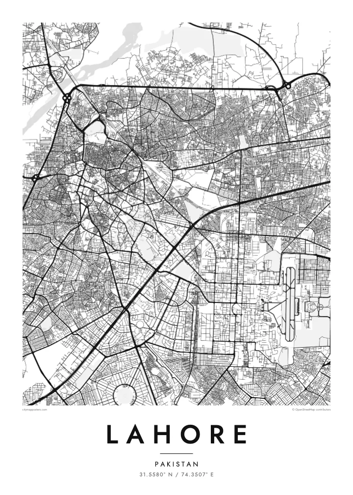
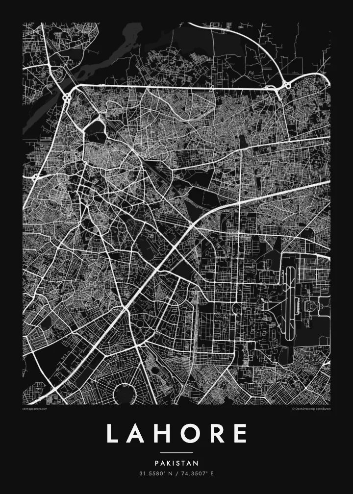
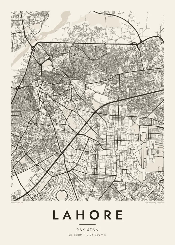
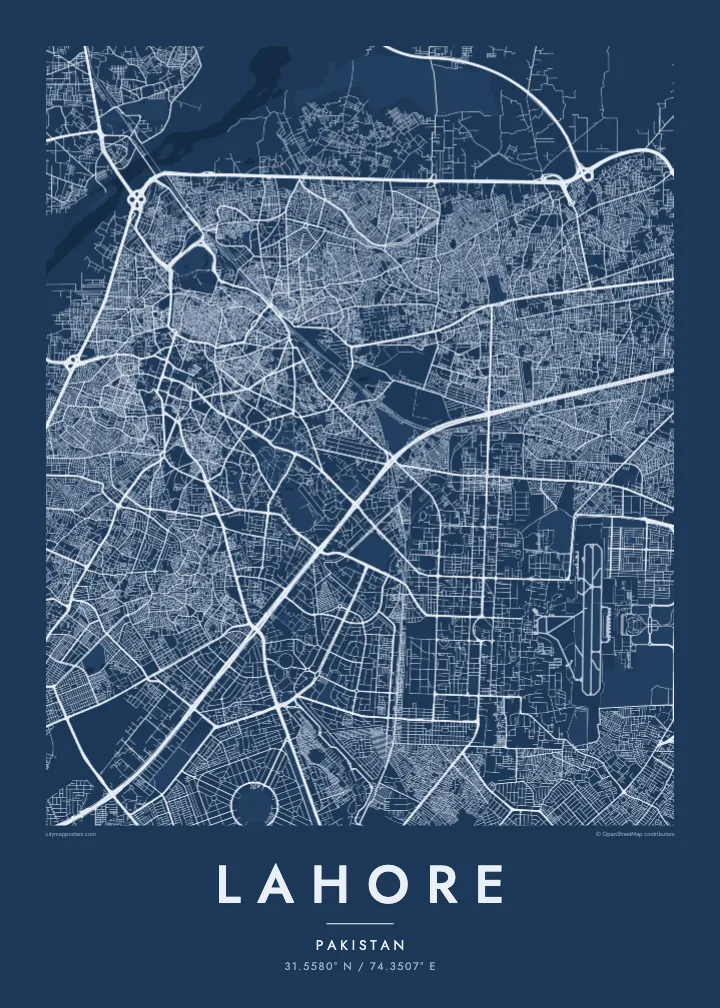
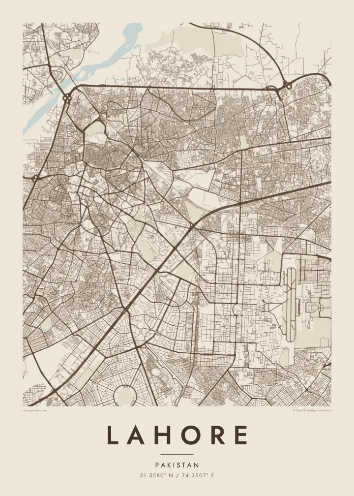
Lahore’s old city sits close to the Ravi River in the north-west, a dense cluster of lanes once enclosed by walls and still entered through historic gates. The Lahore Fort and the Badshahi Mosque occupy its north-western corner, their large rectangular courtyards clearly visible against the tight grain of the streets around them. From this core, the rest of the city spreads south and east in widening layers.
The colonial-era districts brought wide avenues and open spaces, with Mall Road running south-east past government buildings and the Lahore Museum toward the cantonment. The Lahore Canal cuts diagonally across the city, a long line flanked by trees and roads. Further east lie the Shalimar Gardens, a Mughal garden laid out in terraces, and to the south the planned grids of newer housing schemes.
The Lahore Fort and the Shalimar Gardens were inscribed together on the UNESCO World Heritage List in 1981. Nearby, Minar-e-Pakistan in Greater Iqbal Park marks the place where the Lahore Resolution was passed in 1940. A Lahore map poster brings together the Mughal, colonial and modern layers of the city in one clear plan.
A compact area of narrow lanes and bazaars, still marked by historic gates such as Delhi Gate and Lohari Gate, forming the densest texture anywhere on the map.
The canal crosses the city in a long, gentle line, bordered by roads and trees, and gives the plan a continuous thread running from one edge of the frame to the other.
The Fort, the Badshahi Mosque and the Shalimar Gardens appear as large geometric enclosures, their straight walls and terraces standing apart from the organic street pattern around them.
Faʻu ke ʻau ʻa ʻau
Tuku he ʻaho, he hingoa peʻe he kiʻi palalau ʻa ʻau, fetogi te faʻahiga, te lahi peʻe te hake.
Ko te faʻata fua noa ʻe māʻulalo hono lelei pea ʻe ʻi ai he fakaʻilonga. Ko te ʻu tā mo te ʻu faila HD ʻe fakatupu ʻi te 300 DPI, aʻu ki te 7,200 × 10,800 px, ʻe mole ʻi ai he fakaʻilonga.
Koteā ko Lahore
Lahore is a city people speak about with deep attachment, and a map poster lets that feeling sit quietly on a wall. It suits families with roots in the old city, graduates of its colleges and anyone who remembers evenings near the fort.
Title it Lahore or the name of a mohalla, add a date or a family name as the subtitle and adjust the coordinates line. Five styles are available, Classic black & white, Noir, Paper, Blueprint and Sand, with prints shipped from partners in more than 30 countries.
Fakatau te posita Lahore| Lahi ʻo te pulūti | Mahino | Faile |
|---|---|---|
| 30 × 40 cm (11.8 × 15.7″) | 3,543 × 4,724 px | PNG · PDF |
| 29.7 × 42 cm (A3, 11.7 × 16.5″) | 3,508 × 4,961 px | PNG · PDF |
| 42 × 59.4 cm (A2, 16.5 × 23.4″) | 4,961 × 7,016 px | PNG · PDF |
| 45.7 × 61 cm (18 × 24″) | 5,400 × 7,200 px | PNG · PDF |
| 50 × 70 cm (19.7 × 27.6″) | 5,906 × 8,268 px | PNG · PDF |
| 61 × 91.4 cm (24 × 36″) | 7,200 × 10,800 px | PNG · PDF |
Ko te ata ʻe mole totogi ʻe 900 px tona laulahi, mo te fakaʻilonga, ki te sioʻata pē. Ko te ʻu faile HD ʻe aʻu ki te liuga 8 tona mahino, pea ʻe pulūti lelei ʻi te lahi kātoa.
Fili he sitaili ʻi te tuʻa ʻo te pasina, pea fili leva te Posita Tā — he lahi pea, kapau ʻe ke loto ai, he fakakātoa — peʻe ko te ʻu Faila HD Fakakomipiuta. ʻE tahi pē te sitepu ʻo te totogi, pea ʻe fakafou fakavavevave pē tau pasina fakatau mai te taimi ʻe fai ai te totogi.
ʻE tā ʻi he pepa lelei ʻaupito 200 gsm matte, ʻi he tahi ʻo te ono lahi, mai te 30 × 40 cm ki te 24 × 36″. ʻE kamata te ʻu posita tā ʻi te $39, kātoa mo te ʻave.
ʻIo. Fili he fakakātoa ʻakau moʻoni ʻi te kili, hinahina, ʻakau natula peʻe ʻakau ʻuliʻuli. ʻE ʻi ai mo he sioga mālohi ʻe mole mafesi, pea kua teu ke tautau. ʻE kamata te ʻu posita fakakātoa ʻi te $99, kātoa mo te ʻave.
Ko te ʻave ʻe tuʻa totogi ʻi te malamanei katoa. Ko te pōsita ʻe tā e te kaumeʻa tā ʻoku ofi taha ʻi fenua e 30+, pea ʻe aʻu mai ʻi ʻaho gāue e 3–7. ʻE lava ke ke sivi te tuʻunga mo te tulitaki ʻi lalo ʻo Aku ʻōta. ʻE ʻi ai ni fenua ʻe uike e 2–5, pea ʻi te ʻu fenua ʻe mole te ʻave ki ai, ʻe fakahā e te sitē ʻi muʻa ʻo te totogi.
Fekau mai he ʻata ʻi loto ʻi te ʻaho e 14 talu mai te aʻu mai, pea mātou toe tā noa peʻe toe totogi atu.
ʻIo. ʻI te meʻa fakatonutonu ʻi te pasina ʻaeni, fetogi te kupu tāfito, te kupu lalo pea mo te laina koʻoliteti ki he meʻa fuli pē ʻe ke loto ai, pea fili he sitaili mo he lahi. Ko te ʻu fakatau tā, fakakātoa mo fakakomipiuta ʻe fakaʻaogaʻi katoa pē tou fakatātā.
Mo te $9 ʻe ke maʻu ai te ʻu faila PNG 300 DPI mo PDF kua teu ke tā, ʻi te ono lahi kātoa, ʻe mole ʻi ai he fakaʻilonga, ke ke tā ai ʻi soʻo he potu. Kei tā fakafiafia? Download muʻa he faʻata mokā mo he fakaʻilonga, ʻe fua noa.
