Mountain spine
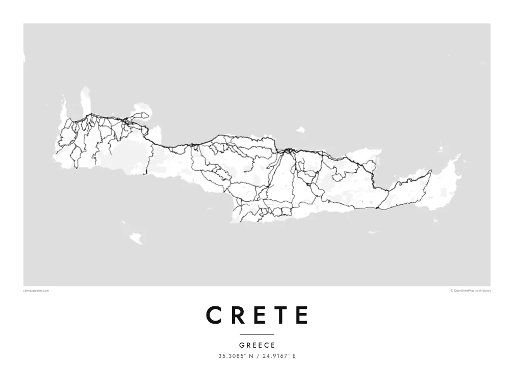
Three ranges run along the island's length and give the interior a sparse, winding road pattern. The poster shows where valleys open and where the mountains leave the map almost empty.
Qeeqabak kaartah poster · Greece
35.3085° N / 24.9167° E
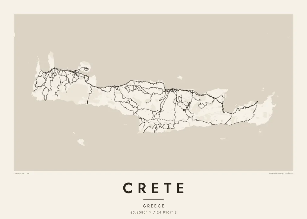
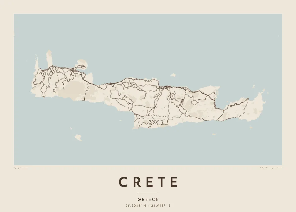
A long, mountain-spined island stretched east to west, with its cities strung along a single northern coastal highway.


Inki magaala, konoy gaba
Qande inkih tibbixeeh derre baguley table. Kulli qande missoowa caagid—daabbisimta, dirbaabu-le kaadu HD fayla akah.
 Cagalah pixels · 24 × 36″ daabbi fayla
Maxxaacah qeeqa
Tama usuk cagalah daabbi faylak 100% qambaala. Kulli poster — daabbisimta, dirbaabu-le kaadu download geytimta — ni-server-ittal 300 DPI-l ederimta, 7,200 × 10,800 pixels fanah, tokkel iyyi ellee catoy 24 × 36″ daabbi baxsi bahisak raaqu.
Gidarih


Kaarta
Crete is the largest Greek island and one of the largest in the Mediterranean, about 260 kilometres from end to end and rarely more than 60 wide. Three mountain ranges form its backbone: the White Mountains in the west, Psiloritis, the ancient Mount Ida, at the centre, and the Dikti range in the east. Between them lie high plateaus, including the enclosed farmland of Lasithi.
Almost every large town sits on the north coast: Chania, Rethymno, Heraklion and Agios Nikolaos, linked by a highway that follows the shore. The south coast is steeper and more broken, with roads that often end at small harbours. On a Crete map poster this imbalance is clear, a dense northern edge of streets and a southern edge of cliffs, gorges and bays.
Crete was the centre of the Minoan civilisation, and the palace of Knossos lies just south of Heraklion. Venetian rule left fortified harbours in Chania and Heraklion that still shape their old towns. In the southwest, the Samaria Gorge cuts through the White Mountains toward the Libyan Sea and is counted among the longest gorges in Europe.
Three ranges run along the island's length and give the interior a sparse, winding road pattern. The poster shows where valleys open and where the mountains leave the map almost empty.
A single highway links the main cities from west to east, and on the poster it reads as one long thread with urban clusters knotted along it at intervals.
At the island's western corners, the Gramvousa peninsula shelters the Balos lagoon and the shallows of Elafonisi fade into sand, adding delicate shoreline detail to the end of the composition.
Kok tanim ab
Ayro, migaq hinnay kok tan xagar osis; gaba, ballaqa hinnay xiqa soorris.
Free preview qansarissi kee watermark-le. Daabbisimtaan kee HD fayla 300 DPI-l, 7,200 × 10,800 px fanah, watermark maleh ederimta.
Macah Crete
Crete's outline is long and horizontal, which makes it a natural fit for a wide wall above a sofa or a desk. It suits people who spent summers in its villages, families from Chania or Heraklion, and travellers who walked the gorges.
Personalise the title, add a subtitle with a village or a date, and edit the coordinates line. Of the five styles, Blueprint emphasises the road network, Sand and Paper soften the mountains, and Noir and Classic keep it stark. Files cost $9 and include six sizes, or order it printed and framed.
Crete poster orme| Maxxaacah ballaqa | Qeeqa | Faylal |
|---|---|---|
| 30 × 40 cm (11.8 × 15.7″) | 3,543 × 4,724 px | PNG · PDF |
| 29.7 × 42 cm (A3, 11.7 × 16.5″) | 3,508 × 4,961 px | PNG · PDF |
| 42 × 59.4 cm (A2, 16.5 × 23.4″) | 4,961 × 7,016 px | PNG · PDF |
| 45.7 × 61 cm (18 × 24″) | 5,400 × 7,200 px | PNG · PDF |
| 50 × 70 cm (19.7 × 27.6″) | 5,906 × 8,268 px | PNG · PDF |
| 61 × 91.4 cm (24 × 36″) | 7,200 × 10,800 px | PNG · PDF |
Tabbaltah, limo-wayta xaqqa-le ablo 900 px ballaqa le, asta le, iskiriinih keh tan. HD faylal gexsoh inkih addal 8× fanah qeeqa le, poster ballaqa inkih addal meqeh maxxaacimta.
Baxxaqqa qari le qandiy dooriy, tohuk lakal Daabbisimtah Poster — kutuk kee, faxximek, dirbaabu — hinnay HD Digital Fayla dooru. Checkout inki wagitti geytima, kaadu ku-orme page keenih adissa akke waqdi caagoy kummite.
Usuk 200 gsm-le catam kutuk warqatal, lica katiy caagitte {printFrom}-ik hane ayta 30 × 40 cm-ik 24 × 36″ fanah, xaagu keenil warreeh.
Ee. Sarrah-le dirbaabu doori — bad, gudduc, oak-le hinnay bad-madabuy. Usuk finqisiimam ellee sange qarab-le kaadu qari umukku iyya keenih taagu. Dirbaabu-le poster {framedFrom}-ik hane, xaagu keenil warreeh.
Shipping is free worldwide. Each poster is printed by the nearest of our print partners in 30+ countries and usually arrives in 3–7 business days. You can follow the status and tracking under My Orders. A few countries take 2–5 weeks, and where we don't ship yet, the site tells you before you pay.
Geytimeek 14 ayróy addal foto naah rubbaay, cisab-le daabbisiynah hinnay ku-lacay gacisnaah.
Ee. Tama page-l edito addal, migaaq, subtitle kee coordinates sarrah faxxem fanah badal, kaadu qande kee katiy doori. Daabbisimtah, dirbaabu-le kaadu digital orme inkih ku-design cagalah yekkelen.
$9 bacisak 300 DPI PNG kee daabbisimtah adissime PDF fayla lica katiy inkih, watermark maleh, ayyi meki daabbisimtah geeytitta. Cisab makkoysemty ana? Awqak, watermark-le free preview download-eh.
Xayyo
