Mountain-facing grid
The main streets run almost straight towards the mountains, so the whole plan leans in one direction, and locals still navigate by whether a place lies uphill or downhill.
Minimalist map poster · Kazakhstan
43.2525° N / 76.9115° E
A tilted grid running straight up toward snow peaks, with mountain rivers cutting north through the city

One city, five moods
Tap a style to see it on the wall. Every style costs the same — printed, framed or as HD files.
 Actual pixels · 24 × 36″ print file
Print-sharp
This is a 100% crop of the real print file. Every poster — printed, framed or downloaded — is rendered on our servers at 300 DPI, up to 7,200 × 10,800 pixels, so even the smallest lanes stay crisp on a 24 × 36″ print.
On the wall

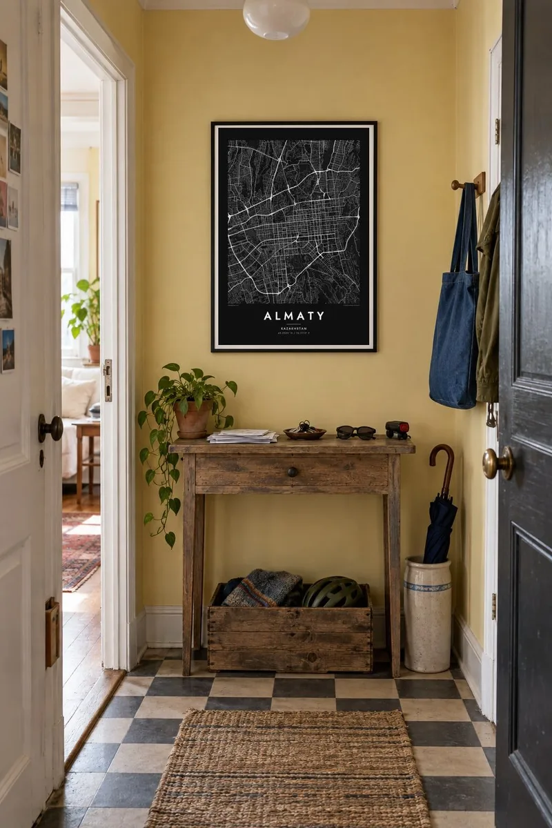

The map
Almaty stretches along the northern foot of the Trans-Ili Alatau, and its street plan makes that slope visible even on a flat sheet of paper. Long avenues run south towards the mountains and east–west streets cross them at regular intervals, forming one of the clearest grids in Central Asia. Towards the southern edge the grid breaks up as the ground rises into foothills and valleys.
The city was Kazakhstan's capital until 1997 and remains its largest city and main cultural and financial centre. The Bolshaya and Malaya Almatinka rivers flow down from the mountains through the urban area, Kok-Tobe hill rises in the south-east with its television tower, and higher up the valley sits Medeu, the high-altitude skating rink.
An Almaty map poster reads almost like a diagram of a city meeting a mountain range. The steady grid, the green bands of rivers and parks, and the sudden loss of streets where the slopes begin create a composition with a clear direction. Hung on a wall, it points south, towards the peaks everyone in the city knows.
The main streets run almost straight towards the mountains, so the whole plan leans in one direction, and locals still navigate by whether a place lies uphill or downhill.
A square green block in the centre holds the wooden Ascension Cathedral, and it reads on the map as a calm open space set neatly into the surrounding grid.
Two mountain rivers cross the city from south to north, their narrow green corridors cutting through the grid and marking natural divisions between districts.
Make it yours
Add a date, a name or a line of your own, switch style, size or orientation.
The free preview is low-resolution with a watermark. Prints and HD files are rendered at 300 DPI, up to 7,200 × 10,800 px, without a watermark.
Why Almaty
Almaty is a city people describe by its mountains, its apple-growing past and its leafy avenues, and a map of it holds all of that in outline. It suits an apartment in Astana, a flat abroad or a room at home.
Personalise the title, add a date or a neighbourhood as a subtitle, and keep the coordinates line or edit it. Then choose from Classic black & white, Noir, Paper, Blueprint or Sand, and download HD files for $9 or order a print.
Order the Almaty poster| Print size | Resolution | Files |
|---|---|---|
| 30 × 40 cm11.8 × 15.7″ | 3,543 × 4,724 px | PNG · PDF |
| 29.7 × 42 cm (A3)11.7 × 16.5″ | 3,508 × 4,961 px | PNG · PDF |
| 42 × 59.4 cm (A2)16.5 × 23.4″ | 4,961 × 7,016 px | PNG · PDF |
| 45.7 × 61 cm18 × 24″ | 5,400 × 7,200 px | PNG · PDF |
| 50 × 70 cm19.7 × 27.6″ | 5,906 × 8,268 px | PNG · PDF |
| 61 × 91.4 cm24 × 36″ | 7,200 × 10,800 px | PNG · PDF |
For comparison, the free preview is 900 px wide, watermarked and meant for screens. The HD files have up to 8× the resolution in each direction and print cleanly at full poster size.
Pick a style at the top of the page, then choose Printed Poster — a size and, if you like, a frame — or Digital HD Files. Checkout takes one step, and your order page updates as soon as the payment goes through.
It is printed on premium 200 gsm matte paper in one of six sizes, from 30 × 40 cm to 24 × 36″. Printed posters start at $39, shipping included.
Yes. Choose a solid wood frame in black, white, natural oak or dark wood. It comes with shatterproof glazing and is ready to hang. Framed posters start at $99, shipping included.
Shipping is free to 60+ countries. Each poster is printed by the nearest of our print partners in 30+ countries and usually arrives in 3–7 business days. You can follow the status and tracking under My Orders. A few countries take 2–5 weeks, and where we don't ship yet, the site tells you before you pay.
Send us a photo within 14 days of delivery and we will reprint it for free or refund you.
Yes. In the editor on this page, change the title, the subtitle and the coordinates line to anything you like, and pick a style and size. Printed, framed and digital orders all use exactly your design.
For $9 you get 300 DPI PNG and print-ready PDF files in all six sizes, without a watermark, to print anywhere. Not sure yet? Download a free watermarked preview first.
Nearby
