The western hills
The island's higher ground sits at its western end. Most of Anholt's lanes, houses and the harbour are here, drawn as a small, tight knot of lines against the surrounding sea.
Minimalist map poster · Denmark
56.7129° N / 11.5859° E
A lone island in the Kattegat: a hilly western knot trailing a long, flat tail of heath east towards open water.

One city, five moods
Tap a style to see it on the wall. Every style costs the same — printed, framed or as HD files.
 Actual pixels · 24 × 36″ print file
Print-sharp
This is a 100% crop of the real print file. Every poster — printed, framed or downloaded — is rendered on our servers at 300 DPI, up to 7,200 × 10,800 pixels, so even the smallest lanes stay crisp on a 24 × 36″ print.
On the wall

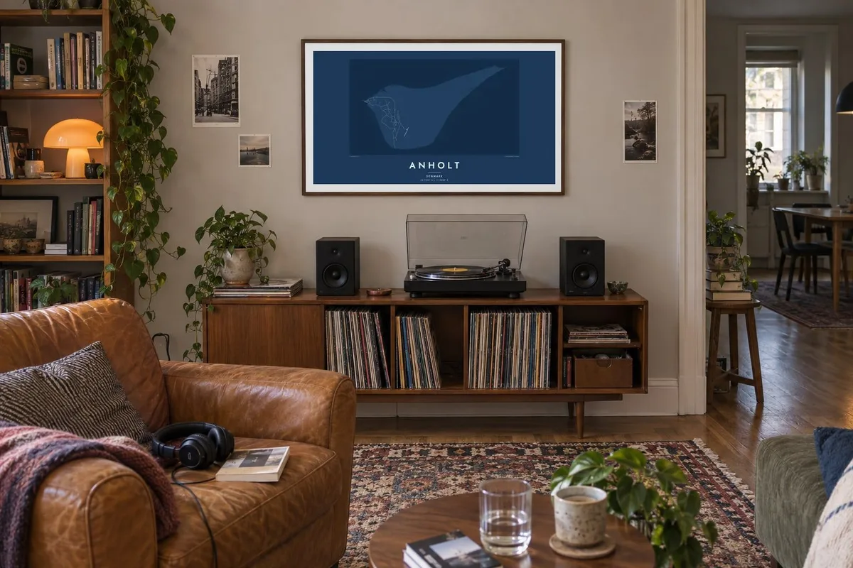
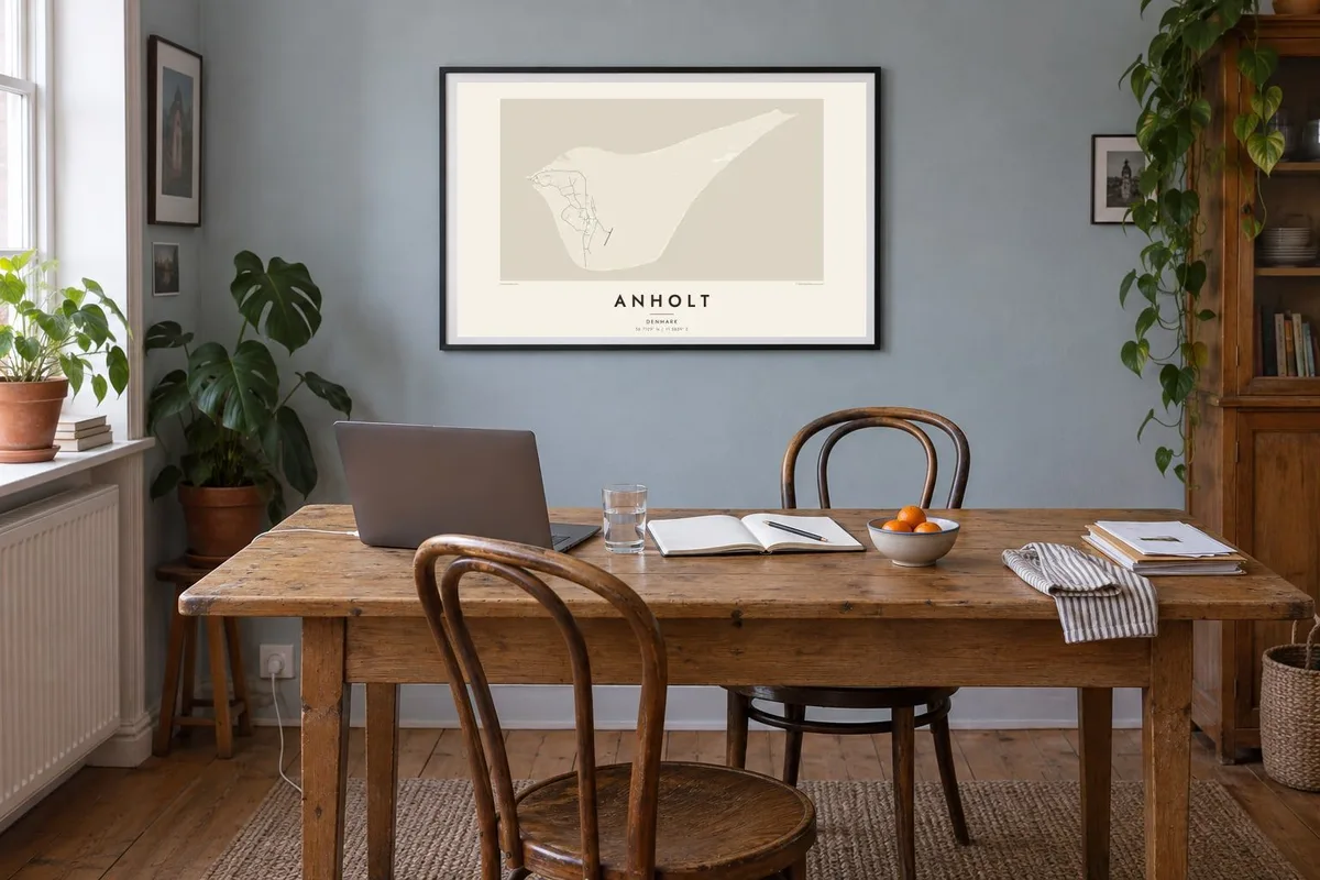
The island
Anholt sits in the middle of the Kattegat, roughly halfway between Jutland and the Swedish coast. That distance shapes almost everything about it. From above, the island has two parts: a compact, hillier western end where the harbour and the village gather, and a broad, low stretch running east. Few roads cross that eastern part.
That eastern plain is known in Denmark as the Ørkenen, the desert. It is an open expanse of heath, lichen and sand, and it is often described as one of the country's most unusual landscapes. The island's eastern point, Totten, is known for its seal colony. On a map this whole half reads as blank ground edged by a clean, curving shoreline.
An Anholt map poster keeps the island at a scale where both halves stay legible. You see a small cluster of lanes around the village and harbour, a thin network of tracks heading inland, and then a lot of quiet paper where the heath takes over. It is a spare composition, and that suits a place people value for its sense of distance.
The island's higher ground sits at its western end. Most of Anholt's lanes, houses and the harbour are here, drawn as a small, tight knot of lines against the surrounding sea.
East of the village the map opens out into the Ørkenen, a wide sweep of heath and sand. Few tracks cross it, which leaves a broad, pale field across much of the island.
The island narrows towards its eastern tip, Totten, a low point of sand known for its seals. On the poster it looks like a fine pencil stroke fading out into the Kattegat.
Make it yours
Add a date, a name or a line of your own, switch style, size or orientation.
The free preview is low-resolution with a watermark. Prints and HD files are rendered at 300 DPI, up to 7,200 × 10,800 px, without a watermark.
Why Anholt
Anholt is rarely a place people pass through. Most who go make a deliberate trip across the Kattegat, often more than once, and the island tends to stay with them. A print of its outline keeps that sense of distance on the wall, a reminder of long walks, ferry crossings and quiet summer evenings.
You can add your own title and a subtitle, such as the year of a first visit or a family summer house, and edit the coordinates line. Choose from Classic black & white, Noir, Paper, Blueprint or Sand. Download HD files for $9, or order a matte print with an optional wooden frame.
Order the Anholt poster| Print size | Resolution | Files |
|---|---|---|
| 30 × 40 cm11.8 × 15.7″ | 3,543 × 4,724 px | PNG · PDF |
| 29.7 × 42 cm (A3)11.7 × 16.5″ | 3,508 × 4,961 px | PNG · PDF |
| 42 × 59.4 cm (A2)16.5 × 23.4″ | 4,961 × 7,016 px | PNG · PDF |
| 45.7 × 61 cm18 × 24″ | 5,400 × 7,200 px | PNG · PDF |
| 50 × 70 cm19.7 × 27.6″ | 5,906 × 8,268 px | PNG · PDF |
| 61 × 91.4 cm24 × 36″ | 7,200 × 10,800 px | PNG · PDF |
For comparison, the free preview is 900 px wide, watermarked and meant for screens. The HD files have up to 8× the resolution in each direction and print cleanly at full poster size.
Pick a style at the top of the page, then choose Printed Poster — a size and, if you like, a frame — or Digital HD Files. Checkout takes one step, and your order page updates as soon as the payment goes through.
It is printed on premium 200 gsm matte paper in one of six sizes, from 30 × 40 cm to 24 × 36″. Printed posters start at $39, shipping included.
Yes. Choose a solid wood frame in black, white, natural oak or dark wood. It comes with shatterproof glazing and is ready to hang. Framed posters start at $99, shipping included.
Shipping is free to 60+ countries. Each poster is printed by the nearest of our print partners in 30+ countries and usually arrives in 3–7 business days. You can follow the status and tracking under My Orders. A few countries take 2–5 weeks, and where we don't ship yet, the site tells you before you pay.
Send us a photo within 14 days of delivery and we will reprint it for free or refund you.
Yes. In the editor on this page, change the title, the subtitle and the coordinates line to anything you like, and pick a style and size. Printed, framed and digital orders all use exactly your design.
For $9 you get 300 DPI PNG and print-ready PDF files in all six sizes, without a watermark, to print anywhere. Not sure yet? Download a free watermarked preview first.
Nearby
