Northern slopes
Toward the north the grid breaks into winding roads that follow the rising ground, a clear visual shift from the flatter, denser districts in the south.
Minimalist map poster · Indonesia
A highland city in a volcanic basin, its streets climbing north toward the slopes of Tangkuban Perahu.
6.9222° S / 107.6069° E


One city, five moods
Tap a style to see it on the wall. Every style is included in the same $9 price.
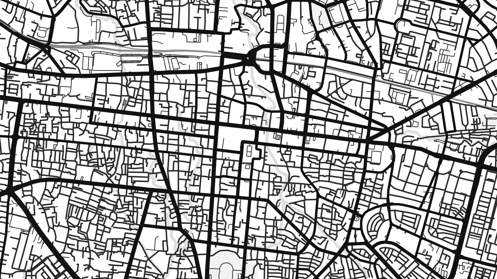 Actual pixels · 24 × 36″ HD file
Print-sharp
This is a crop of the real HD file at 100%. The paid download is rendered on our servers at 300 DPI, up to 7,200 × 10,800 pixels, so even the smallest lanes stay crisp on a 24 × 36″ print.
The map
Bandung lies in a broad basin in the highlands of West Java, at an elevation of around 700 metres, surrounded by volcanic mountains. On a map the city is densest in the south and centre and gradually climbs toward the north, where the streets become more winding as they follow the slopes rising toward the Tangkuban Perahu volcano.
The Cikapundung River runs north to south through the city, crossing the centre in a narrow, curving valley. The colonial-era core around Jalan Asia Afrika and Jalan Braga has a compact, regular grid, while the northern districts around Dago and the campus of the Institut Teknologi Bandung have a looser, greener layout of hillside roads.
Bandung hosted the Asian–African Conference of 1955 at Gedung Merdeka, an event that brought together leaders from newly independent nations. A Bandung map poster shows the city as it sits in its basin, with the tight grid of the old centre, the river valley and the looser streets reaching up the northern slopes.
Toward the north the grid breaks into winding roads that follow the rising ground, a clear visual shift from the flatter, denser districts in the south.
The river crosses the city from north to south in a narrow green corridor, a thin curved line that divides the centre into east and west.
The old centre around Asia Afrika and Braga streets forms a compact grid, the most regular part of an otherwise organic city plan.
Make it yours
Add a date, a name or a line of your own, switch style, size or orientation.
Free preview is low-resolution with a watermark. The HD version is 7,200 × 10,800 px, 300 DPI, no watermark.
Why Bandung
Bandung has a long association with students, design and creative work, and many people keep a strong tie to the city after their years there. A map of the basin and its northern hills is a good way to hold onto that time.
The poster can be personalised with a title, a subtitle and your own coordinates, naming a campus, a neighbourhood or a year. Choose one of five styles, including the technical Blueprint, and download 300 DPI PNG and PDF files for $9.
Get the Bandung poster — $9| Print size | Resolution | Files |
|---|---|---|
| 30 × 40 cm | 3,543 × 4,724 px | PNG · PDF |
| 50 × 70 cm | 5,906 × 8,268 px | PNG · PDF |
| A3 · 29.7 × 42 cm | 3,508 × 4,961 px | PNG · PDF |
| A2 · 42 × 59.4 cm | 4,961 × 7,016 px | PNG · PDF |
| 18 × 24" | 5,400 × 7,200 px | PNG · PDF |
| 24 × 36" | 7,200 × 10,800 px | PNG · PDF |
For comparison, the free preview is 900 px wide, watermarked and meant for screens. The HD files have up to 8× the resolution in each direction and print cleanly at full poster size.
Yes. Drag and zoom the map in the editor — centre it on your neighbourhood, the old town or the whole metro area. The text updates independently.
The HD purchase includes 30×40 cm, 50×70 cm, A3, A2, 18×24″ and 24×36″, each as a 300 DPI PNG and a print-ready PDF.
You can download a free 900 px preview with a watermark. The paid HD files have no watermark and are sharp enough for large prints.
Send the PDF to any local print shop or online printing service and ask for the matching paper size. Matte paper and a thin black or oak frame suit this style best.
Nearby
