Congo estuary
The river here is several kilometres wide and divided by islands, so the map is shaped as much by channels and banks as by streets.
Minimalist map poster · DR Congo
5.8510° S / 13.0536° E
An old river port on the wide Congo estuary, where islands and channels spread out on the way to the Atlantic

One city, five moods
Tap a style to see it on the wall. Every style costs the same — printed, framed or as HD files.
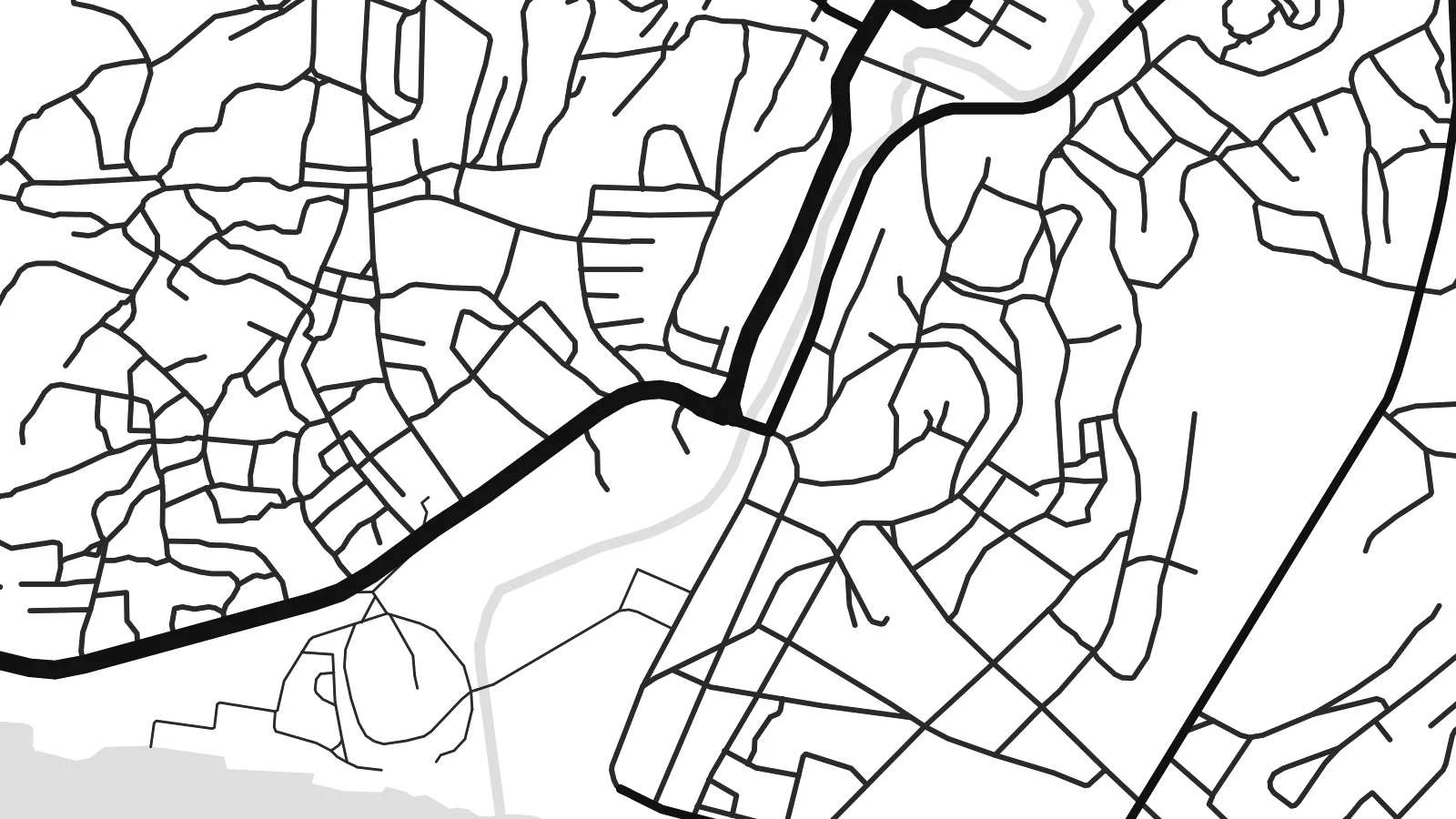 Actual pixels · 24 × 36″ print file
Print-sharp
This is a 100% crop of the real print file. Every poster — printed, framed or downloaded — is rendered on our servers at 300 DPI, up to 7,200 × 10,800 pixels, so even the smallest lanes stay crisp on a 24 × 36″ print.
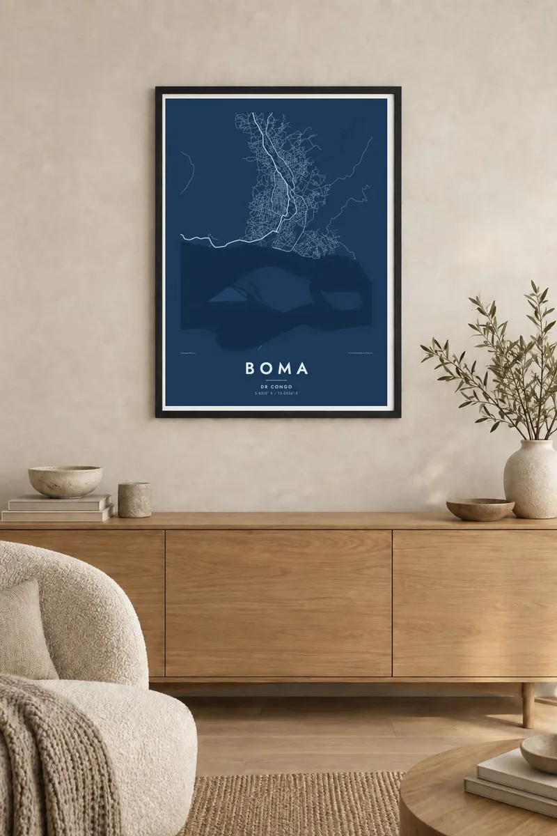
On the wall


The map
Boma stands on the north bank of the Congo River, roughly a hundred kilometres upstream from the Atlantic, where the river widens into its estuary. On a map the water dominates: a broad channel scattered with long islands and sandbanks, with the town set along the shoreline and rising gently onto higher ground behind it.
It is one of the oldest trading ports on the lower Congo and served as the capital of the Congo Free State and then the Belgian Congo until the capital moved to Léopoldville, now Kinshasa, in the 1920s. Colonial-era buildings remain near the waterfront, and the town is also known for a large old baobab linked by tradition to the explorer Henry Morton Stanley.
Today Boma is a river port for Kongo Central province, with quays along the water and roads leading inland toward the Mayombe forest. A Boma map poster holds the contrast between the tight riverside streets and the enormous sweep of the estuary, which fills much of the frame and gives the composition its character.
The river here is several kilometres wide and divided by islands, so the map is shaped as much by channels and banks as by streets.
The older part of town runs along the waterfront, with port facilities and colonial-period buildings close to the quays where ships once linked the colony to Europe.
A huge baobab tree in the town is associated with Stanley's arrival at the end of his crossing of Central Africa in 1877, and remains a local landmark.
Make it yours
Add a date, a name or a line of your own, switch style, size or orientation.
The free preview is low-resolution with a watermark. Prints and HD files are rendered at 300 DPI, up to 7,200 × 10,800 px, without a watermark.
Why Boma
Boma speaks to people with family ties to Kongo Central and to anyone interested in the river's long history. With water occupying so much of the frame, the map becomes almost abstract, a study of banks, islands and a thin line of town.
Add a title and subtitle, perhaps with a year that matters to you, and keep the coordinates line or adjust it. Five styles are available, and the digital files are ready for printing locally at any of the six standard sizes, from A3 to 24×36″.
Order the Boma poster| Print size | Resolution | Files |
|---|---|---|
| 30 × 40 cm11.8 × 15.7″ | 3,543 × 4,724 px | PNG · PDF |
| 29.7 × 42 cm (A3)11.7 × 16.5″ | 3,508 × 4,961 px | PNG · PDF |
| 42 × 59.4 cm (A2)16.5 × 23.4″ | 4,961 × 7,016 px | PNG · PDF |
| 45.7 × 61 cm18 × 24″ | 5,400 × 7,200 px | PNG · PDF |
| 50 × 70 cm19.7 × 27.6″ | 5,906 × 8,268 px | PNG · PDF |
| 61 × 91.4 cm24 × 36″ | 7,200 × 10,800 px | PNG · PDF |
For comparison, the free preview is 900 px wide, watermarked and meant for screens. The HD files have up to 8× the resolution in each direction and print cleanly at full poster size.
Pick a style at the top of the page, then choose Printed Poster — a size and, if you like, a frame — or Digital HD Files. Checkout takes one step, and your order page updates as soon as the payment goes through.
It is printed on premium 200 gsm matte paper in one of six sizes, from 30 × 40 cm to 24 × 36″. Printed posters start at $39, shipping included.
Yes. Choose a solid wood frame in black, white, natural oak or dark wood. It comes with shatterproof glazing and is ready to hang. Framed posters start at $99, shipping included.
Shipping is free to 60+ countries. Each poster is printed by the nearest of our print partners in 30+ countries and usually arrives in 3–7 business days. You can follow the status and tracking under My Orders. A few countries take 2–5 weeks, and where we don't ship yet, the site tells you before you pay.
Send us a photo within 14 days of delivery and we will reprint it for free or refund you.
Yes. In the editor on this page, change the title, the subtitle and the coordinates line to anything you like, and pick a style and size. Printed, framed and digital orders all use exactly your design.
For $9 you get 300 DPI PNG and print-ready PDF files in all six sizes, without a watermark, to print anywhere. Not sure yet? Download a free watermarked preview first.
Nearby
