The Cuesta escarpment
The plateau edge near the city drops steeply, and the roads descending it wind in tight bends that stand out against the straighter, more regular streets of the town above.
Minimalist map poster · Brazil
22.8858° S / 48.4450° W
A hilltop city on the edge of a sandstone escarpment, its streets spread across a high plateau above the São Paulo countryside.

One city, five moods
Tap a style to see it on the wall. Every style costs the same — printed, framed or as HD files.
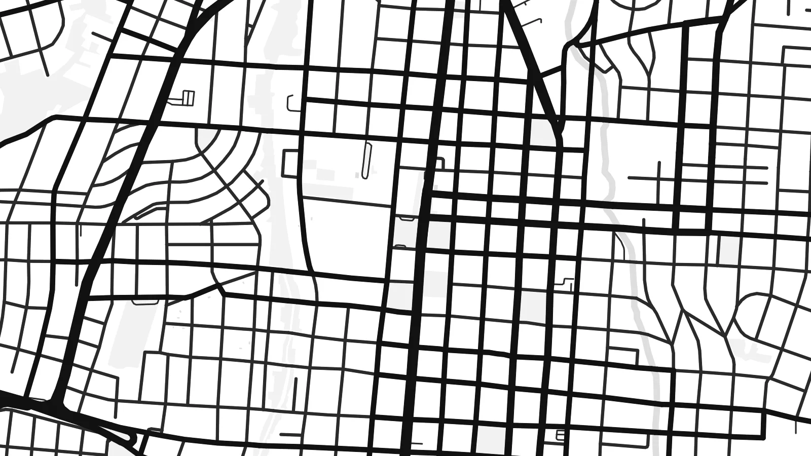 Actual pixels · 24 × 36″ print file
Print-sharp
This is a 100% crop of the real print file. Every poster — printed, framed or downloaded — is rendered on our servers at 300 DPI, up to 7,200 × 10,800 pixels, so even the smallest lanes stay crisp on a 24 × 36″ print.
On the wall


The map
Botucatu stands on the plateau of the Cuesta, a long escarpment that drops sharply toward the lower farmland of interior São Paulo. On a map the city occupies the high ground, with a compact centre of rectangular blocks giving way to neighbourhoods that follow the lie of the land outward. Roads climb up to the town in switchbacks, and the edge of the escarpment shows as a band where winding roads replace the grid.
The name Botucatu is attached to the sandstone formation that underlies much of south-central Brazil, and those rocks are part of the Guarani Aquifer system, one of the largest groundwater reserves in the world. The city is also home to a large campus of São Paulo State University, whose medical school and hospital occupy their own district outside the centre, marked on the map by an open, campus-like layout.
A Botucatu map poster shows a town defined by elevation even though no contour lines are drawn. Streets knot together on the plateau, then thin out and bend where the land falls away. The result is a composition with a dense heart, loose edges and long rural roads reaching into empty space, which makes it quietly different from the flatter grids of the region.
The plateau edge near the city drops steeply, and the roads descending it wind in tight bends that stand out against the straighter, more regular streets of the town above.
The UNESP campus, with its medical faculty and teaching hospital, forms a separate cluster of buildings and internal roads set apart from the historic centre.
The central blocks are small and regular, organised around squares and the cathedral, and they form the densest part of the print before the outer neighbourhoods loosen.
Make it yours
Add a date, a name or a line of your own, switch style, size or orientation.
The free preview is low-resolution with a watermark. Prints and HD files are rendered at 300 DPI, up to 7,200 × 10,800 px, without a watermark.
Why Botucatu
Botucatu is a city of students, doctors and people who remember the climb up the Cuesta. A map of it makes a fitting gift for a graduation or a move, a reminder of a particular plateau and the view from its edge.
Choose Classic black & white, Noir, Paper, Blueprint or Sand, then set your own title and subtitle, perhaps a class year or a street address, and adjust the coordinates line. Download the HD files for $9 or order a matte print, framed if you like.
Order the Botucatu poster| Print size | Resolution | Files |
|---|---|---|
| 30 × 40 cm11.8 × 15.7″ | 3,543 × 4,724 px | PNG · PDF |
| 29.7 × 42 cm (A3)11.7 × 16.5″ | 3,508 × 4,961 px | PNG · PDF |
| 42 × 59.4 cm (A2)16.5 × 23.4″ | 4,961 × 7,016 px | PNG · PDF |
| 45.7 × 61 cm18 × 24″ | 5,400 × 7,200 px | PNG · PDF |
| 50 × 70 cm19.7 × 27.6″ | 5,906 × 8,268 px | PNG · PDF |
| 61 × 91.4 cm24 × 36″ | 7,200 × 10,800 px | PNG · PDF |
For comparison, the free preview is 900 px wide, watermarked and meant for screens. The HD files have up to 8× the resolution in each direction and print cleanly at full poster size.
Pick a style at the top of the page, then choose Printed Poster — a size and, if you like, a frame — or Digital HD Files. Checkout takes one step, and your order page updates as soon as the payment goes through.
It is printed on premium 200 gsm matte paper in one of six sizes, from 30 × 40 cm to 24 × 36″. Printed posters start at $39, shipping included.
Yes. Choose a solid wood frame in black, white, natural oak or dark wood. It comes with shatterproof glazing and is ready to hang. Framed posters start at $99, shipping included.
Shipping is free to 60+ countries. Each poster is printed by the nearest of our print partners in 30+ countries and usually arrives in 3–7 business days. You can follow the status and tracking under My Orders. A few countries take 2–5 weeks, and where we don't ship yet, the site tells you before you pay.
Send us a photo within 14 days of delivery and we will reprint it for free or refund you.
Yes. In the editor on this page, change the title, the subtitle and the coordinates line to anything you like, and pick a style and size. Printed, framed and digital orders all use exactly your design.
For $9 you get 300 DPI PNG and print-ready PDF files in all six sizes, without a watermark, to print anywhere. Not sure yet? Download a free watermarked preview first.
Nearby
