Mediterranean seafront
A long, gently curving coastline edges the city to the north, with beaches and a coastal road separating the grid of streets from the open sea.
Minimalist map poster · Algeria
36.7664° N / 3.4772° E
A planned seaside city on Algeria's Mediterranean coast, its campus blocks and boulevards running down to the beaches.

One city, five moods
Tap a style to see it on the wall. Every style costs the same — printed, framed or as HD files.
 Actual pixels · 24 × 36″ print file
Print-sharp
This is a 100% crop of the real print file. Every poster — printed, framed or downloaded — is rendered on our servers at 300 DPI, up to 7,200 × 10,800 pixels, so even the smallest lanes stay crisp on a 24 × 36″ print.
On the wall

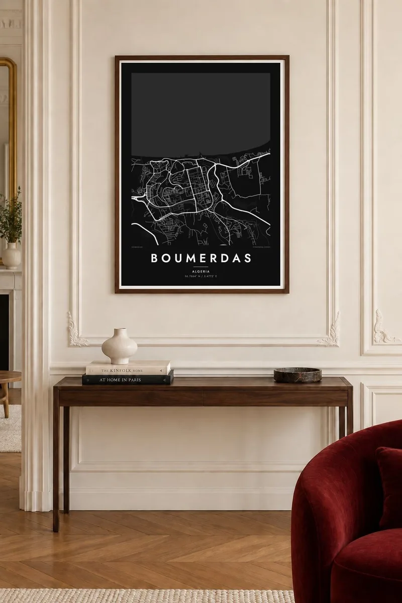
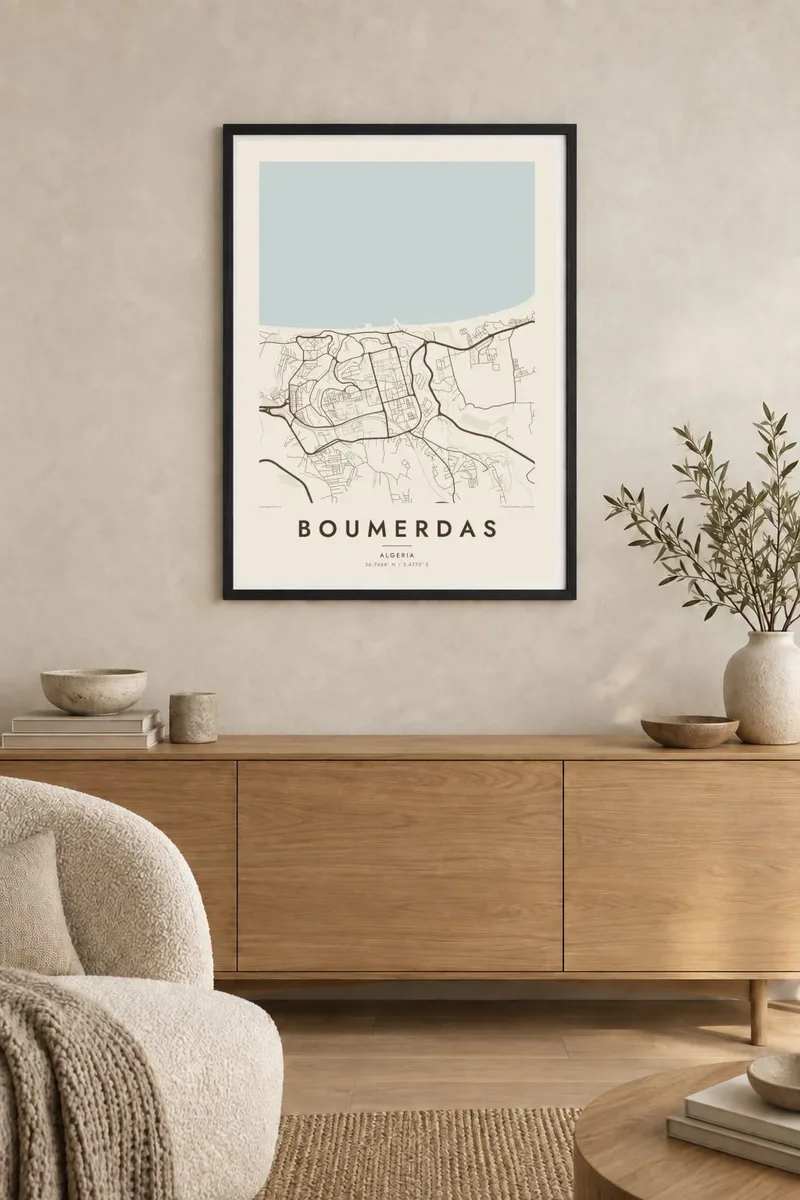
The map
Boumerdas, usually written Boumerdès, lies on the Mediterranean coast about fifty kilometres east of Algiers and serves as capital of its province. From above, the city stands out for its planned layout: wide, regular avenues, large blocks of apartment buildings and institutional campuses set back from a long sandy shoreline, with farmland and hills rising gently inland.
Much of the modern town grew from Rocher Noir, the administrative centre where the provisional executive sat during Algeria's transition to independence in 1962. Later it became a centre of higher education and hydrocarbon training, and the university campuses remain prominent on the map. In 2003 a strong earthquake struck the area, and rebuilding shaped parts of today's city.
A Boumerdas map poster brings out the clarity of a city designed on a drawing board and set against the sea. The straight avenues, open campus grounds and curving coastline make a composition that feels both ordered and relaxed, and it holds particular meaning for the many engineers and graduates who studied here.
A long, gently curving coastline edges the city to the north, with beaches and a coastal road separating the grid of streets from the open sea.
Large institutional grounds with spaced-out buildings and internal paths form broad, open blocks on the map, a legacy of the city's role in engineering education.
Straight, wide boulevards and regular blocks give Boumerdas an orderly structure unusual for the Algerian coast, reflecting its origins as a mid-twentieth-century planned town.
Make it yours
Add a date, a name or a line of your own, switch style, size or orientation.
The free preview is low-resolution with a watermark. Prints and HD files are rendered at 300 DPI, up to 7,200 × 10,800 px, without a watermark.
Why Boumerdas
Boumerdas is where many Algerians spent their student years, and where others found work in the energy sector. A map of the city is a clear, lasting memento of those years by the sea.
The title can read Boumerdas, Boumerdès or a name of your choice, with a subtitle for a graduation year and an editable coordinates line. Five styles are available, as $9 HD files or a matte print from partners in more than 30 countries.
Order the Boumerdas poster| Print size | Resolution | Files |
|---|---|---|
| 30 × 40 cm11.8 × 15.7″ | 3,543 × 4,724 px | PNG · PDF |
| 29.7 × 42 cm (A3)11.7 × 16.5″ | 3,508 × 4,961 px | PNG · PDF |
| 42 × 59.4 cm (A2)16.5 × 23.4″ | 4,961 × 7,016 px | PNG · PDF |
| 45.7 × 61 cm18 × 24″ | 5,400 × 7,200 px | PNG · PDF |
| 50 × 70 cm19.7 × 27.6″ | 5,906 × 8,268 px | PNG · PDF |
| 61 × 91.4 cm24 × 36″ | 7,200 × 10,800 px | PNG · PDF |
For comparison, the free preview is 900 px wide, watermarked and meant for screens. The HD files have up to 8× the resolution in each direction and print cleanly at full poster size.
Pick a style at the top of the page, then choose Printed Poster — a size and, if you like, a frame — or Digital HD Files. Checkout takes one step, and your order page updates as soon as the payment goes through.
It is printed on premium 200 gsm matte paper in one of six sizes, from 30 × 40 cm to 24 × 36″. Printed posters start at $39, shipping included.
Yes. Choose a solid wood frame in black, white, natural oak or dark wood. It comes with shatterproof glazing and is ready to hang. Framed posters start at $99, shipping included.
Shipping is free to 60+ countries. Each poster is printed by the nearest of our print partners in 30+ countries and usually arrives in 3–7 business days. You can follow the status and tracking under My Orders. A few countries take 2–5 weeks, and where we don't ship yet, the site tells you before you pay.
Send us a photo within 14 days of delivery and we will reprint it for free or refund you.
Yes. In the editor on this page, change the title, the subtitle and the coordinates line to anything you like, and pick a style and size. Printed, framed and digital orders all use exactly your design.
For $9 you get 300 DPI PNG and print-ready PDF files in all six sizes, without a watermark, to print anywhere. Not sure yet? Download a free watermarked preview first.
Nearby
