Colonial street grid
Square blocks arranged around a central plaza and repeated with little variation across the town. It is the classic Spanish colonial plan, drawn out on open, level ground.
Minimalist map poster · Venezuela
8.9242° N / 67.4293° W
A llanos town laid out on a grid beside the Guárico River, surrounded by flat rice fields and irrigation channels.

One city, five moods
Tap a style to see it on the wall. Every style costs the same — printed, framed or as HD files.
 Actual pixels · 24 × 36″ print file
Print-sharp
This is a 100% crop of the real print file. Every poster — printed, framed or downloaded — is rendered on our servers at 300 DPI, up to 7,200 × 10,800 pixels, so even the smallest lanes stay crisp on a 24 × 36″ print.
On the wall

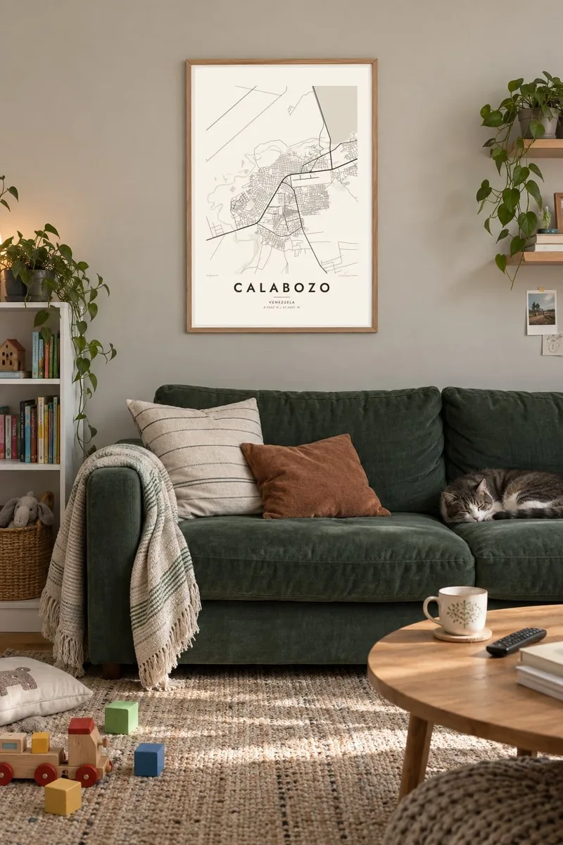
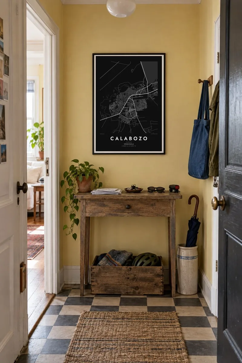
The map
Calabozo lies in the heart of the Venezuelan llanos, the vast grassland plains that stretch between the Andes and the Orinoco. The land here is almost perfectly flat, and the town reflects it. A regular colonial grid of square blocks spreads out from a central plaza, and long straight roads leave toward the ranches and farms of Guárico state.
Just outside town, the Guárico River was dammed in the mid-twentieth century to create a reservoir and an irrigation system. It turned the surrounding savanna into one of the country's main rice-growing areas. On a map this shows as a geometric overlay of canals and rectangular paddies, a man-made order laid across the natural meanders of the river.
The town also has a curious place in the history of science. In 1800 Alexander von Humboldt stopped here and studied electric eels caught in nearby pools. A Calabozo map poster captures the calm geometry of a plains town, with its even blocks, the edge of the reservoir and the lines of water that make the land productive.
Square blocks arranged around a central plaza and repeated with little variation across the town. It is the classic Spanish colonial plan, drawn out on open, level ground.
The dammed river forms a broad body of water near the town. Its irregular shoreline stands out against the straight lines of roads and fields.
Channels fan out from the reservoir into the surrounding plain and divide it into rectangular rice paddies. They give the map outside the town a ruled, almost graph-paper texture.
Make it yours
Add a date, a name or a line of your own, switch style, size or orientation.
The free preview is low-resolution with a watermark. Prints and HD files are rendered at 300 DPI, up to 7,200 × 10,800 px, without a watermark.
Why Calabozo
Calabozo is a place people from the llanos carry with them, and a map of its grid is a quiet reminder of wide skies and flat horizons. Use the town's name or a family surname as the title, and put a date that matters in the subtitle.
Paper and Sand soften the strong grid, while Blueprint makes the canal network read like an engineering drawing. Classic and Noir are there too. Download HD files for $9 in six sizes, or order a matte print shipped from a partner near you.
Order the Calabozo poster| Print size | Resolution | Files |
|---|---|---|
| 30 × 40 cm11.8 × 15.7″ | 3,543 × 4,724 px | PNG · PDF |
| 29.7 × 42 cm (A3)11.7 × 16.5″ | 3,508 × 4,961 px | PNG · PDF |
| 42 × 59.4 cm (A2)16.5 × 23.4″ | 4,961 × 7,016 px | PNG · PDF |
| 45.7 × 61 cm18 × 24″ | 5,400 × 7,200 px | PNG · PDF |
| 50 × 70 cm19.7 × 27.6″ | 5,906 × 8,268 px | PNG · PDF |
| 61 × 91.4 cm24 × 36″ | 7,200 × 10,800 px | PNG · PDF |
For comparison, the free preview is 900 px wide, watermarked and meant for screens. The HD files have up to 8× the resolution in each direction and print cleanly at full poster size.
Pick a style at the top of the page, then choose Printed Poster — a size and, if you like, a frame — or Digital HD Files. Checkout takes one step, and your order page updates as soon as the payment goes through.
It is printed on premium 200 gsm matte paper in one of six sizes, from 30 × 40 cm to 24 × 36″. Printed posters start at $39, shipping included.
Yes. Choose a solid wood frame in black, white, natural oak or dark wood. It comes with shatterproof glazing and is ready to hang. Framed posters start at $99, shipping included.
Shipping is free to 60+ countries. Each poster is printed by the nearest of our print partners in 30+ countries and usually arrives in 3–7 business days. You can follow the status and tracking under My Orders. A few countries take 2–5 weeks, and where we don't ship yet, the site tells you before you pay.
Send us a photo within 14 days of delivery and we will reprint it for free or refund you.
Yes. In the editor on this page, change the title, the subtitle and the coordinates line to anything you like, and pick a style and size. Printed, framed and digital orders all use exactly your design.
For $9 you get 300 DPI PNG and print-ready PDF files in all six sizes, without a watermark, to print anywhere. Not sure yet? Download a free watermarked preview first.
Nearby
