Parliamentary Triangle
Three straight lines, Commonwealth Avenue, Kings Avenue and the lake's central basin, enclose the national institutions. It is one of the most recognisable pieces of geometry in any city plan.
Minimalist map poster · Australia
35.2835° S / 149.1281° E
A designed capital of circles, axes and a lake, with ordered avenues set among wooded hills

One city, five moods
Tap a style to see it on the wall. Every style costs the same — printed, framed or as HD files.
 Actual pixels · 24 × 36″ print file
Print-sharp
This is a 100% crop of the real print file. Every poster — printed, framed or downloaded — is rendered on our servers at 300 DPI, up to 7,200 × 10,800 pixels, so even the smallest lanes stay crisp on a 24 × 36″ print.
On the wall


The map
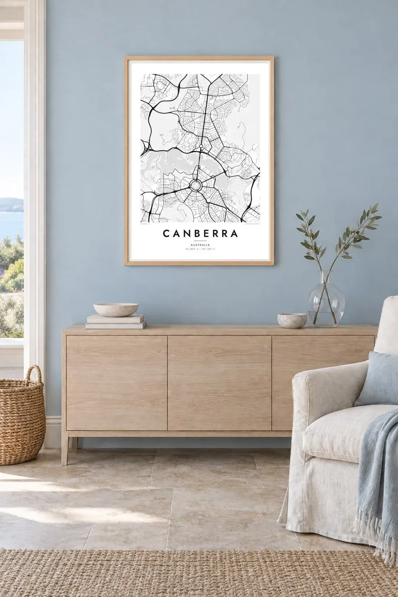
Canberra is one of the few cities whose map was drawn before the streets were built. Walter Burley Griffin and Marion Mahony Griffin won the design competition in 1912. Their plan tied the city to its landscape, with a land axis running from Mount Ainslie to Capital Hill and a water axis along a lake. Both still organise the map today.
Lake Burley Griffin fills the middle of the city, crossed by Commonwealth Avenue and Kings Avenue. Together with the lakeshore they form the Parliamentary Triangle. Parliament House sits inside the hill at the southern point, and the circles and hexagonal streets of the inner suburbs spread out from it in a pattern that is unmistakable from above.
A Canberra map poster shows how much of the capital is open space. Black Mountain, Mount Ainslie and Red Hill appear as large empty areas between the town centres. The suburbs are laid out in their own separate clusters, each with curving streets, so the plan feels more like a group of connected villages than a single continuous city.
Three straight lines, Commonwealth Avenue, Kings Avenue and the lake's central basin, enclose the national institutions. It is one of the most recognisable pieces of geometry in any city plan.
An artificial lake created in the 1960s by damming the Molonglo River. Its long, irregular outline divides the city into north and south and sets the water axis of the Griffin plan.
The ring road around Capital Hill, with Parliament House at its centre. Streets radiate from it like spokes, and it is easy to spot even at small print sizes.
Make it yours
Add a date, a name or a line of your own, switch style, size or orientation.
The free preview is low-resolution with a watermark. Prints and HD files are rendered at 300 DPI, up to 7,200 × 10,800 px, without a watermark.
Why Canberra
Canberra suits people who like design, because the map is itself a design, planned on paper before anyone lived there. It also means a lot to those who worked in its institutions or raised families in its leafy suburbs.
Add a name or date to the title, change the subtitle, and set coordinates for a particular home or office. Blueprint suits Canberra's planned origins, while Paper or Sand give it a softer look.
Order the Canberra poster| Print size | Resolution | Files |
|---|---|---|
| 30 × 40 cm11.8 × 15.7″ | 3,543 × 4,724 px | PNG · PDF |
| 29.7 × 42 cm (A3)11.7 × 16.5″ | 3,508 × 4,961 px | PNG · PDF |
| 42 × 59.4 cm (A2)16.5 × 23.4″ | 4,961 × 7,016 px | PNG · PDF |
| 45.7 × 61 cm18 × 24″ | 5,400 × 7,200 px | PNG · PDF |
| 50 × 70 cm19.7 × 27.6″ | 5,906 × 8,268 px | PNG · PDF |
| 61 × 91.4 cm24 × 36″ | 7,200 × 10,800 px | PNG · PDF |
For comparison, the free preview is 900 px wide, watermarked and meant for screens. The HD files have up to 8× the resolution in each direction and print cleanly at full poster size.
Pick a style at the top of the page, then choose Printed Poster — a size and, if you like, a frame — or Digital HD Files. Checkout takes one step, and your order page updates as soon as the payment goes through.
It is printed on premium 200 gsm matte paper in one of six sizes, from 30 × 40 cm to 24 × 36″. Printed posters start at $39, shipping included.
Yes. Choose a solid wood frame in black, white, natural oak or dark wood. It comes with shatterproof glazing and is ready to hang. Framed posters start at $99, shipping included.
Shipping is free to 60+ countries. Each poster is printed by the nearest of our print partners in 30+ countries and usually arrives in 3–7 business days. You can follow the status and tracking under My Orders. A few countries take 2–5 weeks, and where we don't ship yet, the site tells you before you pay.
Send us a photo within 14 days of delivery and we will reprint it for free or refund you.
Yes. In the editor on this page, change the title, the subtitle and the coordinates line to anything you like, and pick a style and size. Printed, framed and digital orders all use exactly your design.
For $9 you get 300 DPI PNG and print-ready PDF files in all six sizes, without a watermark, to print anywhere. Not sure yet? Download a free watermarked preview first.
Nearby
