Colonial grid
The centre is built on a regular chequerboard of blocks, the typical Spanish colonial plan. It stands out clearly on the map against the irregular newer districts around it.
Minimalist map poster · Venezuela
10.1728° N / 70.0810° W
A colonial grid on the semi-arid plains of Lara, its historic centre laid out in even blocks beside the Morere river.

One city, five moods
Tap a style to see it on the wall. Every style costs the same — printed, framed or as HD files.
 Actual pixels · 24 × 36″ print file
Print-sharp
This is a 100% crop of the real print file. Every poster — printed, framed or downloaded — is rendered on our servers at 300 DPI, up to 7,200 × 10,800 pixels, so even the smallest lanes stay crisp on a 24 × 36″ print.
On the wall

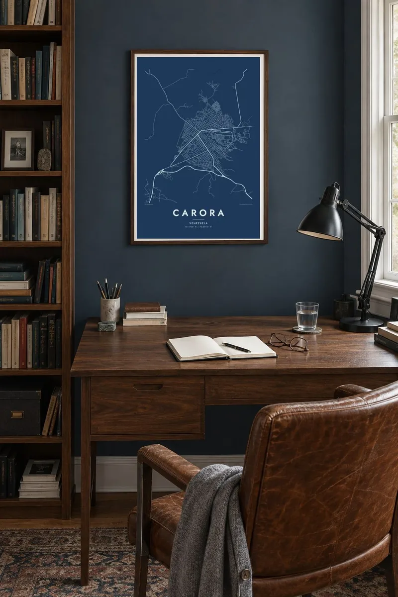
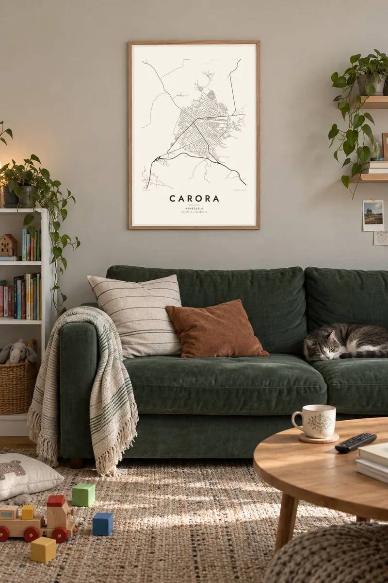
The map
Carora lies in the dry western part of Lara state, in a landscape of scrub, cactus and wide horizons. The town was founded in the sixteenth century, and its core still follows a Spanish colonial grid of square blocks organised around plazas and churches. Around that ordered centre, newer districts spread outward with a looser street pattern, and the Morere river marks one edge of the urban area.
The historic quarter of Carora is protected as national heritage for its well-preserved colonial houses. In Venezuela the town is also known for two farm products: Carora cattle, a dairy breed developed in the region, and the wines from nearby vineyards, among the few in the country. Both show how the surrounding dry valley has been farmed for generations.
A Carora map poster makes the colonial layout plain: the regular squares of the old town, the streets that stretch out toward the plains and the curves of the river along the edge of the city. Without colour, the grid looks almost architectural, an elegant record of how a sixteenth-century plan still shapes daily life in a modern Venezuelan town.
The centre is built on a regular chequerboard of blocks, the typical Spanish colonial plan. It stands out clearly on the map against the irregular newer districts around it.
Carora's old town, recognised as national heritage, keeps its early street layout almost intact. Plazas mark the points where churches and civic buildings anchor the grid.
The river runs past the town through dry country. On the poster it is a winding line that contrasts with the straight colonial streets and marks where the town ends.
Make it yours
Add a date, a name or a line of your own, switch style, size or orientation.
The free preview is low-resolution with a watermark. Prints and HD files are rendered at 300 DPI, up to 7,200 × 10,800 px, without a watermark.
Why Carora
People remember Carora with pride, for its old streets, its cattle and its wine. A map of the town makes a thoughtful gift for anyone from Lara, especially with a personalised title, subtitle and coordinates line and a choice of five styles, including Paper and Sand.
The $9 digital files come in six print sizes, 30×40 cm, 50×70 cm, A3, A2, 18×24″ and 24×36″, each as a 300 DPI PNG and a print-ready PDF with no watermark. Printed matte posters, with an optional wooden frame, ship from partners in more than 30 countries.
Order the Carora poster| Print size | Resolution | Files |
|---|---|---|
| 30 × 40 cm11.8 × 15.7″ | 3,543 × 4,724 px | PNG · PDF |
| 29.7 × 42 cm (A3)11.7 × 16.5″ | 3,508 × 4,961 px | PNG · PDF |
| 42 × 59.4 cm (A2)16.5 × 23.4″ | 4,961 × 7,016 px | PNG · PDF |
| 45.7 × 61 cm18 × 24″ | 5,400 × 7,200 px | PNG · PDF |
| 50 × 70 cm19.7 × 27.6″ | 5,906 × 8,268 px | PNG · PDF |
| 61 × 91.4 cm24 × 36″ | 7,200 × 10,800 px | PNG · PDF |
For comparison, the free preview is 900 px wide, watermarked and meant for screens. The HD files have up to 8× the resolution in each direction and print cleanly at full poster size.
Pick a style at the top of the page, then choose Printed Poster — a size and, if you like, a frame — or Digital HD Files. Checkout takes one step, and your order page updates as soon as the payment goes through.
It is printed on premium 200 gsm matte paper in one of six sizes, from 30 × 40 cm to 24 × 36″. Printed posters start at $39, shipping included.
Yes. Choose a solid wood frame in black, white, natural oak or dark wood. It comes with shatterproof glazing and is ready to hang. Framed posters start at $99, shipping included.
Shipping is free to 60+ countries. Each poster is printed by the nearest of our print partners in 30+ countries and usually arrives in 3–7 business days. You can follow the status and tracking under My Orders. A few countries take 2–5 weeks, and where we don't ship yet, the site tells you before you pay.
Send us a photo within 14 days of delivery and we will reprint it for free or refund you.
Yes. In the editor on this page, change the title, the subtitle and the coordinates line to anything you like, and pick a style and size. Printed, framed and digital orders all use exactly your design.
For $9 you get 300 DPI PNG and print-ready PDF files in all six sizes, without a watermark, to print anywhere. Not sure yet? Download a free watermarked preview first.
Nearby
